Banff National Park, Alberta
Looking for the best hiking in Banff National Park? We've got you covered with the top trails, trips, hiking, backpacking, camping and more around Banff National Park. The detailed guides, photos, and reviews are all submitted by the Outbound community.
Top Hiking Spots in and near Banff National Park
-
Field, British Columbia
Backpack to Alberta's Abbot Pass Hut
3.016.2 mi / 1500 ft gainBuilt in 1922 with the stones from the pass, the Abbot Pass Hut and has served both as a base for mountaineers and as a destination for strong hikers ever since. Sitting at 2,926 meters' elevation, it is second only to the Neil Colgan Hut on the list of highest permanent structures in Canada. The...Read more -
Field, British Columbia
Hike the Yuckness Ledges in Yoho National Park
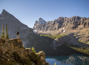
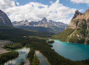
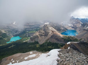
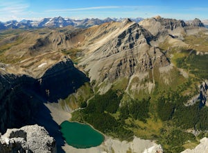
5.5 mi / 0 ft gainThe Lake O’Hara Alpine Circuit is short loop - but it's not for the faint-hearted. We walked Yuckness Ledges, which is a trail under a large cliff with incredible views over Lake O'Hara and the rest of Yoho National Park. The trail starts from the Lake O’Hara outlet bridge across from the Le Rela...Read more -
Field, British Columbia
Scramble the North Summit of Mount Yukness
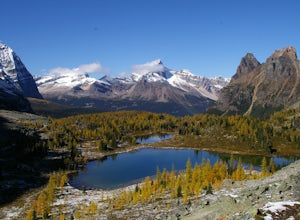
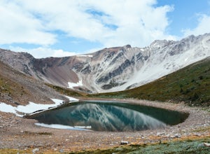
6.5 mi / 2690.3 ft gainBeginning at Lake O'Hara, head counter-clockwise around the lake - you'll get distracted by the reflections in the water if the water is calm enough, that's ok. You'll want to take the Opabin East route, but Opabin West will work too. Just remember to get on the east side at some point in time!Th...Read more -
Field, British Columbia
Snowshoe to Wiwaxy Gap
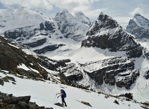
1.03.7 mi / 1310 ft gainViews in the Lake O'Hara area are unique from the “sea of mountains” look that defines many excellent weekend hikes in the Rockies. With Odoray, Yukness, Huber, Wiwaxy, Schaffer, Biddle, and Lefroy in such close proximity to each other, it is easy to imagine you are in Pakistan, Nepal, or Argenti...Read more -
Field, British Columbia
Scramble Little Odaray
6.2 mi / 3116.8 ft gainFirst things first: prior to August 15, there are only 4 groups of people allowed in this area per day, and after August 15, only 2 groups are allowed in. Start early!Starting at Lake O'Hara, head towards the Elizabeth Parker ACC Hut. Continue past the hut and meander through meadows and forests....Read more -
Field, British Columbia
Hike "A Walk in the Past Trail," Yoho NP
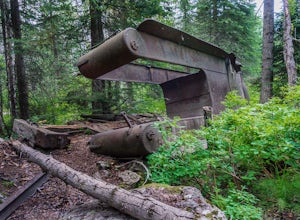
3.02 mi / 396 ft gainThe trail begins towards the backside of Kicking Horse camp area near the washrooms. Please know that access to this area is typically closed between October and June. Look for the large trail sign and be sure to grab a brochure to enjoy the self-guided tour. The brochures may not be available, ...Read more -
East Kootenay G, British Columbia
Hiking in Marble Canyon
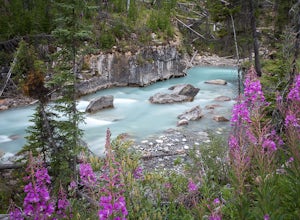
1.2 miMarble Canyon is easily accessible off of the 93S in Kootenay National Park between Banff and Radium.This is a really beautiful area and a nice easy walk for the family with some beautiful scenery to go along with it. Make a visit here in August when the the Fireweed is at its prime, lining the f...Read more -
Field, British Columbia
Hike Iceline Trail
5.012.3 mi / 2867.5 ft gainThe trailhead is accessed at the Takakkaw Falls parking lot, and then you walk to the Whiskey Jack Hostel where the trail officially begins (you can not park here unless you are a guest). The well marked trail then begins its very steep ascent through the forest where you will catch glimpses of ...Read more -
Field, British Columbia
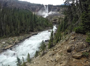
Twin Falls via Yoho Valley Trail
4.010.92 mi / 2274 ft gainAn 18 km hike with approx 300 m elevation gain, with good variety, several waterfalls, Twin Falls themselves, Twin Falls Tea House (especially if it's open), a walk through a rock field with great views, a dried up lake bed. Start at the Takakkaw Falls parking lot and follow the well marked trai...Read more -
Field, British Columbia
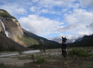
Camp at Takakkaw Falls
Takakkaw is the third highest waterfall in Canada. Mountain vistas, rushing glacial fed rivers, and waterfalls galore make Yoho a prime destination. This is the nicest drive-to campground around, and with little effort you have a semi-backcountry experience that is accessible to everyone.Take the...Read more -
Field, British Columbia
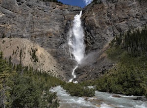
Takakkaw Falls
4.01.2 mi / 196.9 ft gainThis powerful waterfall is unquestionably, one of Canada's largest and most magnificent waterfalls. It falls at around a whopping 381 meters over the sheer cliff of the beautiful Canadian Rockies. The word 'Takakkaw' loosely translates from the language of 'Cree,' into the English phrase, "it is ...Read more -
Sawback, Alberta
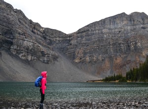
Hike to Bourgeau Lake
9.3 mi / 2329.4 ft gainThe Bourgeau Lake trailhead offers easy parking and bathrooms before departing. The hike begins with approximately an hour and a half of fairly easy walking through forest with several glimpses of the surrounding mountains and Wolverine Creek. This first stretch ends with a gorgeous waterfall, ...Read more -
Sawback, Alberta
Hike to Bourgeau Lake and Harvey Pass
5.012.5 mi / 3360 ft gainThe trailhead for Bourgeau Lake/Harvey Pass is on the west side of Trans-Canada Highway approximately 5 miles west of Banff. The turn-off is approximately 0.9 miles past the Sunshine Village Ski Resort exit. There is a small parking lot and a restroom at the trailhead. Enter through the gate to...Read more -
Sawback, Alberta
Hike Mount Bourgeau
5.012 mi / 2460 ft gainTaking Hwy 1 West of Banff for approximately 8 miles you'll come to the Bourgeau Lake Trailhead. This trail starts with a 4.5 mile, 2460ft elevation through the forest to the beautiful Bourgeau Lake. This glacial tarn signals the start of the alpine and a wonderful morning hike on it's own. From ...Read more -
East Kootenay G, British Columbia
Backpack the Rockwall Trail
68 mi / 8530 ft gainThe Rockwall trail is a famous 3-5 day trek in Kootenay National Park. We started from the North and camped at Helmet Falls our first night, and then continued south and exited out Floe Lake. I would recommend this direction for a backpack, and the opposite direction for a trail run (it's about ...Read more -
Clearwater County, Alberta
Hike Maze Peak
4.05.3 mi / 2624.7 ft gainThere's not much of a trailhead for Maze Peak - in fact there isn't a trailhead at all. Bring up the start location from this post and pull over on the side of the dirt road once you get to it! The hardest part about this trail is just kind of finding it, really. The good news is that you're goin...Read more

