Australia
Looking for the best hiking in Australia? We've got you covered with the top trails, trips, hiking, backpacking, camping and more around Australia. The detailed guides, photos, and reviews are all submitted by the Outbound community.
Top Hiking Spots in and near Australia
-
Manly, New South Wales
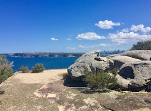
Hike North Head Sanctuary
5.08.1 mi / 1099.1 ft gainSince there are many different walkways, I have put together several different ways to get to North Head, though there are many different places to explore along the way. It's a great way to get outside the Sydney and escape for a few hours without a long commute. If you follow the paths around t...Read more -
Beech Forest, Victoria
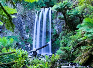
Explore Hopetoun Falls on the Great Ocean Road, Australia
4.0Hopetoun Falls has around 200 stairs descending into the lush rainforest to reach Hopetoun Falls, it may seem like a daunting idea and one that could also be rough on the old’ knees. It is worth the struggle though just so you can witness this 30 metre fall of ice-cold water into the Aire River....Read more -
Repentance Creek, New South Wales
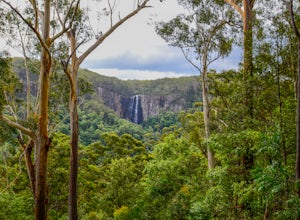
Hike Minyon Falls Loop
5.05.1 miLocated within Nightcap National Park, Minyon Falls is approximately 30 minutes South-West of the sleepy, hippie town of Mullumbimby. Mullum has an eclectic market on the third Saturday of the month from 9am-2pm with which you could synch your hike.Minyon Falls itself flows over a 100m cliff befo...Read more -
Waterfall, New South Wales
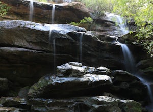
Hike to Uloola Falls
3.08.7 mi / 70 ft gainThe trail begins at the waterfall station commuter car park. Head down the small flight of stairs at the rear of the parking area to the forest where you will find a sign for the hike. Follow the path for 7 KM staying with the signs for Uloola Falls. The path is well cleared and marked. With a fe...Read more -
Portsea, Victoria
Hike to Fort Nepean
4.34.3 mi / 98.4 ft gainStarting at the car park, you can choose to either head to the visitors centre (north east of the car park) to look at the information boards or you can head straight to the walk. At the visitors centre, you can arrange for a shuttle back from the fort if you wish or there are also washrooms avai...Read more -
Kurnell, New South Wales
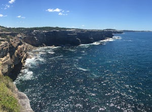
Hike the Cape Baily Coast Walk
4.55 mi / 492.1 ft gainThis is a great hike if you enjoy heights and looking out on the ocean, as most of the hike takes you along white rocky cliffs on the edge of the park.Given the majority of the walk is exposed, please make sure to bring sun protection and lots of water.I've started the walk at the Cape Solander c...Read more -
Bundeena, New South Wales
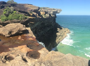
Hike the Coast Track from Bundeena to Wattamolla
5.014.9 mi / 1246.7 ft gainThis hike is a part of the 26km Coast Track in Royal National Park. Please note that you must purchase a parking permit from one of the visitors centres. Another option is to make this hike into a point-to-point and leave the second car at the Wattamolla day area.You can also get to Bundeena from...Read more -
Royal National Park, New South Wales
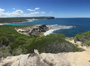
Hike Curra Moors Loop Track
5.06.2 miPlease note that a lot of the track is exposed, so make sure if it's a nice day to bring a hat and sun protection. If it's rainy, please be careful of the rocks and note that the trail can get boggy.At certain times of the year, you can see whales off the coast as the track follows their migrator...Read more -
Mount Macedon, Victoria
Hike the Macedon Ranges Walking Track
5.011.2 mi / 2624.7 ft gainThe pin that has been dropped is across from the Mt Macedon Hotel, where there are many free public parking areas on the main road. If you park here (on the left side of the road coming in), you can easily circuit the walking track.The walking track can be circuited either way, but I walked the t...Read more -
Kanangra Walls Lookout, New South Wales
Catch the Sunrise at Kanangra Walls
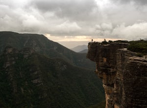
0.6 mi / 65.6 ft gainThe Drive Kanangra Walls is a 220km drive from Sydney. Expect to take 3 1/2 hours + add some time for a pit stop. The easiest way to navigate here is to use your GPS and head for Boyd River Campground. This will take you along the Great Western Highway through the Blue Mountains til you reach the...Read more -
Wilsons Promontory, Victoria
Backpack Wilson's Promontory
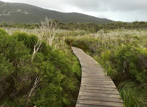
4.534.4 mi / 5446.2 ft gainWilson's Promontory, or "The Prom," is one of the most famous walks in Victoria, just 3.5 hours drive outside of Melbourne. The park has diverse wildlife, including kangaroos, wallabies, koalas, emus, wombats, enchiladas, and possums. Make sure to also keep a lookout for snakes, which love to sun...Read more -
Maroon, Queensland
Hike to the Summit of Mt. Maroon
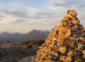
3.7 mi / 1968.5 ft gainThe trail begins at the car park at the end of Cotswold Road, easily found on Google Maps. This is an unsealed road but is suitable for most vehicles. You will see a Pathogen Control Station (shoe scrubber), this is where the actual trail starts.Follow the trail through open grazing land for a fe...Read more -
Lorne, Victoria
Backpack from Sheoak Falls to Sharps Track Camping Area
6.8 mi / 656.2 ft gainThe Otways National Park sits right on the Great Ocean Road, a stunning, lush park with lots of amazing tracks to explore. This track takes you through dense trees and walks along several stunning waterfalls. Day One (4.8km) From Sheoak car park, follow the track up the hill towards Sheoak Falls...Read more -
Darley, Victoria
Hike the Lerderderg Circuit
4.05.1 mi / 1476.4 ft gainPlease note that this walk is quite steep, so leave ample time to get up and down the walk. As well, please note that water levels can vary on the Lerderderg River, so ensure you are prepared to get a little wet at certain times of the year! From the parking lot, walk through the picnic area and...Read more -
Harrietville, Victoria
Summit Mt. Feathertop
5.013.7 mi / 4921.3 ft gainMt Feathertop is an iconic peak within the Victorian Alps. At the summit, spectacular 360 degree mountain views await as you stand over 1500m above the valleys below. There are two main access routes to the summit of Mt. Feathertop, Razorback Ridge from Mt. Hotham or the Bungalow Spur Track from ...Read more -
Bells Beach, Victoria
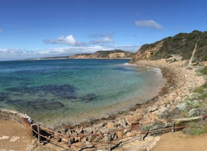
Hike from Bells Beach to Point Addis
5.09.6 mi / 853 ft gainBells Beach is one of the first stops on the Great Ocean Road and an awesome spot to either surf or enjoy the small beach town vibe in the town of Torquay. Bells has some awesome storms and surges that come through so it's a great place to surf or watch the waves break. This trail can be either h...Read more

