Cornucopia, Wisconsin
Top Spots in and near Cornucopia
-
Silver Bay, Minnesota
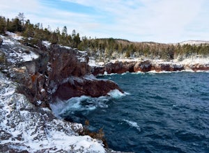
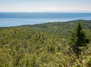
Hike to Shovel Point at Tettagouche State Park
5.02 miAn easy hour along the North Shore Scenic Byway from Duluth, Tettagouche State Park is a rugged, 10,000 acre park on Lake Superior. Although the interior of the park offers miles of trails to waterfalls and mountain tops, the best way to see the coast is to take the easy hike to Shovel Point. Beg...Read more -
Duluth, Minnesota
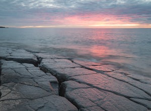
Photograph Stoney Point Beach on Lake Superior
The AdventureThe work is done. According to The Photographer’s Ephemeris (app.photoephemeris.com) the sun will rise at 7:11 AM. You grab your gear, a hot beverage, and set out for the open road. Scenic 61 follows the shore of Lake Superior all the way from Duluth to Two Harbors, MN. The drive up ...Read more -
Silver Bay, Minnesota
Tettegouche State Park Trail
1.69 mi / 318 ft gainTettegouche State Park Trail is an out-and-back trail where you may see beautiful wildflowers located near Silver Bay, Minnesota.Read more -
Silver Bay, Minnesota
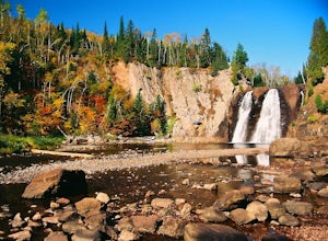
Hike to High Falls and Two Step Falls
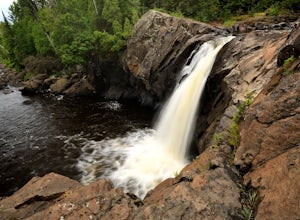
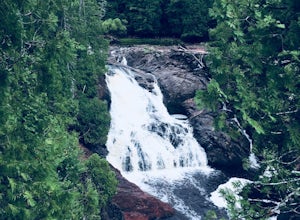
5.01.17 mi / 253 ft gainLocated within Tettegouche State Park, High Falls of the Baptism river is the highest waterfall entirely in Minnesota (High Falls of the Pigeon River is higher, but half of it lies on the Ontario border). The High Falls are one of the major highlights of Tettegouche State Park. Depending on wh...Read more -
Silver Bay, Minnesota
Hike to Fantasia Overlook
3 mi / 170 ft gainGetting to the trailhead:From Hwy. 61, turn left onto Hwy. 1 (at milepost 59.3) and travel 0.8 miles to the Superior Hiking Trail (SHT) parking lot on the left side of the road (very easy to miss!). The Hike:Once you get to the parking lot, cross Hwy. 1 and walk up the road to meet the SHT that c...Read more -
Silver Bay, Minnesota
Explore Illgen Falls
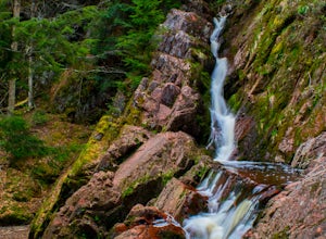
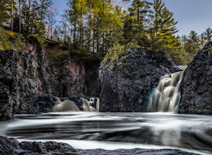
5.00.5 miAfter you drive past Tettegouche State Park, continue until you reach Highway 1. Turn left and continue on the road for 1.6 miles until you see a small gravel pull-off on the lefthand side of the road. Follow the path that leads to the river (easy to hear the waterfall). The trail will go past a ...Read more -
Marengo, Wisconsin
Hike to Morgan Falls
1.2 miIt's a easy hike to the waterfall being only 1.2 mile round trip, but traveling to the waterfall might take time as it's fairly remote. There is a $5 daily park fee.Directions can be complicated depending on which direction you are coming from, so I highly recommend entering it into your google m...Read more -
Silver Bay, Minnesota
Tettegouche Lake Overlook
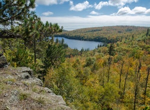
5.01.87 mi / 302 ft gainGetting to the parking lot:From Highway 61, turn onto MN-1 and continue for just over 4 miles. Then turn left onto Lax Lake Road. The parking lot will be on your left after about 3 miles. You will see a sign with park maps/information. The Hike:From the parking lot, follow the gravel service roa...Read more -
Ironwood, Michigan
Hike to Superior Falls
4.00.5 mi / -100 ft gainSuperior Falls sits right next to the Superior River, near the northern terminus of the Montreal River. The parking area for the falls is rather large, and there are porta-potties directly next to the parking area. To see the lower region of the falls, you can hike down to the base of the river,...Read more -
Saxon, Wisconsin
Lower Potato Falls
3.60.48 mi / 207 ft gainComing into the park off Hwy 169 in Gurney, WI, you will turn West onto Falls Rd. It is a gravel road that ends at a circular parking lot, complete with a pit toilet, picnic area, viewing areas, and trailheads. Starting at the trailhead labeled "Lower Potato Falls", you will descend a couple hun...Read more -
Saxon, Wisconsin
Upper Potato Falls
0.28 mi / 85 ft gainYou will turn off of Hwy 169 onto a gravel road, follow the road all the way to the end for the trail head. Please drive respectfully as people live on this road. Once you park, you will see multiple trails down to the river. Find the sign for Upper Falls and head that way. After .3 miles you wil...Read more -
Finland, Minnesota
Hike to the Superior Hiking Trail's Section 13
4.02 mi / 450 ft gainGetting there:From Duluth, follow Highway 61 until you reach mile marker 65 -- shortly after this you will turn left on Lake County Road 6. Continue for just over 2 miles and the trailhead parking lot will be on your right. There is a sign with mileage to nearby backpacking campsites if you want ...Read more -
Finland, Minnesota
Drive Superior National Forest's Fall Color Route
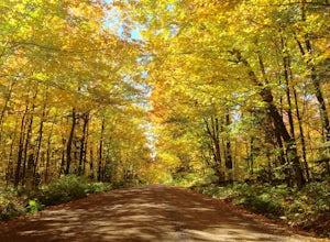
5.0Every Autumn, Superior National Forest in northern Minnesota designates some of it's best roads as official Fall Color Routes. These roads go deep into the forest, far from towns and cell phone reception to show off the best Minnesota has to offer. Peak season is short, only a week or two sometim...Read more -
Mellen, Wisconsin
Hike to Copper Falls
4.62 mi / 85 ft gainComing into the park on Hwy 169, you will turn west/northwest into the park entrance. After passing the Ranger's Station you will follow the road (passing camp areas and showers along the way) all the way to the main parking lot near a concessions building. *The handicap parking lot is a little f...Read more -
Mellen, Wisconsin
Hike to Red Granite Falls
2.5 mi / 100 ft gainStarting at the parking lot for Loon Lake, follow the signs for Red Granite Falls across a grassed yard and into the woods. The trail is a wide, well-maintained gravel trail that creates a figure-eight loop as it crosses itself twice. Halfway along the trail (regardless of which loop direction yo...Read more -
Saxon, Wisconsin
Hike to Saxon Falls
0.5 miAn unusual hike to see the falls, Saxon Falls sits next to a flowage station. On foot, follow the short, wooded hiking trail to the east of the parking area, which leads to the overlook location. For better viewing, continue down the path. The falls sports one of the deepest gorges in the region....Read more

