Bayfield, Wisconsin
Top Spots in and near Bayfield
-
Silver Bay, Minnesota
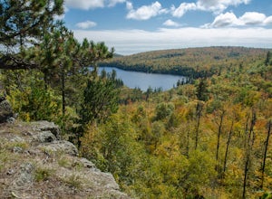
Tettegouche Lake Overlook
5.01.87 mi / 302 ft gainGetting to the parking lot:From Highway 61, turn onto MN-1 and continue for just over 4 miles. Then turn left onto Lax Lake Road. The parking lot will be on your left after about 3 miles. You will see a sign with park maps/information. The Hike:From the parking lot, follow the gravel service roa...Read more -
Bessemer, Michigan
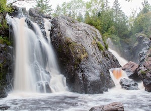
Hike to Gabbro Falls
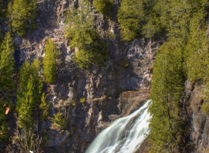
5.01 miGabbro Falls is on the Black River and is as impressive waterfall. This wild waterfall does not have any fences or barriers, so view with caution from above. Getting there, take Black Jack Road north. This road will take a sharp left turn and will go by the ski hill. Before you get to the ski hi...Read more -
Finland, Minnesota
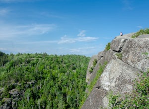
Hike to the Superior Hiking Trail's Section 13
4.02 mi / 450 ft gainGetting there:From Duluth, follow Highway 61 until you reach mile marker 65 -- shortly after this you will turn left on Lake County Road 6. Continue for just over 2 miles and the trailhead parking lot will be on your right. There is a sign with mileage to nearby backpacking campsites if you want ...Read more -
Bessemer, Michigan
Explore Gabbro Falls
Gabbro Falls is located just east of Blackjack Ski Resort in Bessemer, MI. There are two options for seeing the falls. First, you can continue through the resort parking lot, and continue up a service road. On the left, you see a small parking area. From the parking area, you can see a small hand...Read more -
Silver Bay, Minnesota
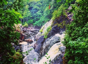
Hike to Caribou Falls
5.01 miCaribou Falls is a true hidden gem located along the Superior Hiking trail on Minnesota's North Shore. To access the falls, begin at the Caribou Falls State Wayside rest, off of Highway 61 just north of Little Marais. The trailhead is marked on the Superior Hiking Trail sign in the parking lot. ...Read more -
Finland, Minnesota
Drive Superior National Forest's Fall Color Route
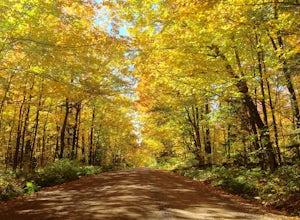
5.0Every Autumn, Superior National Forest in northern Minnesota designates some of it's best roads as official Fall Color Routes. These roads go deep into the forest, far from towns and cell phone reception to show off the best Minnesota has to offer. Peak season is short, only a week or two sometim...Read more -
Ontonagon, Michigan
Backpack the Little Carp River Trail in the Porkies
4.015.3 mi / -720 ft gainThe Little Carp River Trailhead is located in the center of the Porcupine Mountain State Park, about 16 miles west of the park headquarters on S. Boundary Road. At the start of the trailhead, hikers can see Overlooked Falls. About a mile in one the trail, Greenstone Falls can be seen past both th...Read more -
Duluth, Minnesota
Photograph Stoney Point Beach on Lake Superior
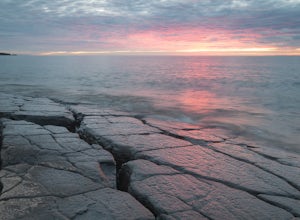
The AdventureThe work is done. According to The Photographer’s Ephemeris (app.photoephemeris.com) the sun will rise at 7:11 AM. You grab your gear, a hot beverage, and set out for the open road. Scenic 61 follows the shore of Lake Superior all the way from Duluth to Two Harbors, MN. The drive up ...Read more -
Silver Bay, Minnesota
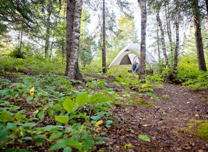
Camp at George H. Manitou Crosby State Park
5.0George H. Crosby Manitou State Park is a lesser known park along Minnesota's North Shore. There are only backcountry sites, and it's not conveniently along the scenic road, so you really have to plan on going here. This makes it quiet, peaceful, and absolutely perfect for someone looking for a li...Read more -
Ontonagon, Michigan
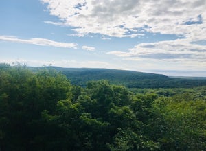
Summit Peak Observation Tower
0.9 mi / 190 ft gainSummit Peak Observation Tower is an out-and-back trail that takes you by a lake located near Ontonagon, Michigan.Read more -
Ontonagon, Michigan
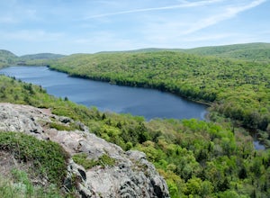
Hike the Escarpment Trail
3.58.6 miUpon arriving at Porcupine Mountains State Park (from Highway 107) in Ontonagon, Michigan, follow signs to the Lake of the Clouds Overlook parking lot. From this overlook you will get a taste of the many views of Lake of the Clouds that are to come. The Escarpment Trail begins here and parallels ...Read more -
Ontonagon, Michigan
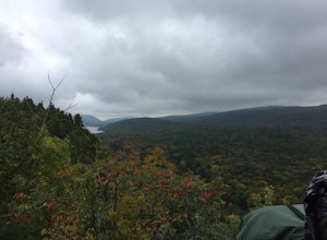
Backpack the Big Carp River and Lake Superior Trails in the Porkies
18.2 miWe started our hiking in the afternoon at the Lake of the Clouds parking lot. Our original plan for the hike was to thru hike the Lake Superior Trail, however, due to muddy conditions and recent rain, we chose the Big Carp River Trail as a dryer route to get to our mid-camp point near the Big Car...Read more -
Ontonagon, Michigan
Mirror Lake Cabins Loop
6.24 mi / 584 ft gainThe trip to Mirror Lake begins at the Summit Peak Scenic Area. To extend your hike, start at the Lily Pond trail-head farther south on Summit Peak Road (5.3 miles to cabin). The initial trail towards the lake is the Beaver Creek trail (1.2 miles). The trail climbs down the peak slope into some lo...Read more

