Peshastin, Washington
Looking for the best photography in Peshastin? We've got you covered with the top trails, trips, hiking, backpacking, camping and more around Peshastin. The detailed guides, photos, and reviews are all submitted by the Outbound community.
Top Photography Spots in and near Peshastin
-
Gold Bar, Washington
Eagle Lake via Barclay Lake Trailhead
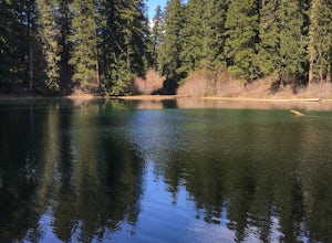
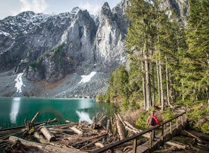
8.5 mi / 2000 ft gainStart off on the same trail as Barclay Lake. After 2.25 miles, you will arrive at Barclay Lake. This lake can be quite busy in the summer months as it is relatively easy to access, and you may see many people camping there with their kids. Continue around the lake until you almost reach the east...Read more -
North Bend, Washington
McClellan Butte
5.010.61 mi / 3629 ft gainStarting at the McClellan's Butte Trailhead, right off of I-90 exit 47, head out on the main (only) trail at the trailhad. The first half mile of the trail is quite easy as it meanders through the forest, but don't be fooled or worried, it will get harder. This first half mile has a crossing of a...Read more -
Enumclaw, Washington
Hike to Kelly Butte
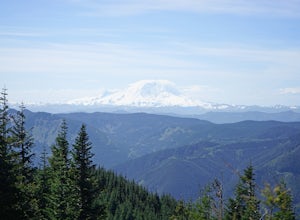
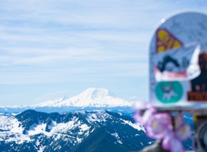
3.4 mi / 1100 ft gainAfter a rough drive to the trailhead you’ll have little time to catch your breath as the trail laces up the mountain side, but with Rainier to distract you, it won’t be long until you’re at the top with a view that is more than enough reward for your efforts. Pay very close attention to the drivi...Read more -
Quincy, Washington
Adventuring in the Frenchman Coulee
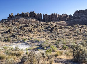
5.0Occupying a cluster of desert canyons and mesas perched atop the cliffs overlooking the eastern bank of the mighty Columbia River, the Frenchman Coulee is a rock climber’s paradise. Featuring dozens of world-class sport and trad routes, both single- and multi-pitch, the climbing around Vantage li...Read more -
Enumclaw, Washington
Backpack Noble Knob via Greenwater Trail
16.9 mi / 3920 ft gainFrom Greenwater heading south: Pass the fire station to FR 70 on the left. Follow FR 70 for about nine miles to FR 7033. Take a right and follow the road to the trailhead. Northwest Forest Pass required. The trail is in good shape and mostly flat to Greenwater Lakes which is great for families a...Read more -
Enumclaw, Washington
Hike to Greenwater Lakes
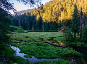
4.5 mi / 900 ft gainFollowing along the Greenwater River, family friendly Greenwater lakes Trail #1176 which has minimal elevation gain, winds through a lush green mossy old growth forest. Along the trail you will cross over several log bridges and pass a couple of beautiful waterfalls. At just under two miles int...Read more -
Gold Bar, Washington
Heybrook Lookout
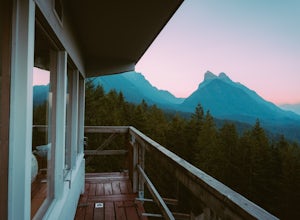
4.72.47 mi / 984 ft gainTo the trailhead, drive east on highway 2 from Everett. Just past milepost 37 you will see a gravel parking area on the left side of the highway. Wander through a mossy forest that reminds me of Olympic National Park and traverse up 1.3 miles of switch backs to ascend heybrook lookout! Dogs ar...Read more -
North Bend, Washington
Hike Mount Washington
4.32.89 mi / 3058 ft gainYou start out at an elevation of about 1200 feet and you gradually make your way up to the top at 4450 feet. You are hiking through forest land the whole time with peaks of a beautiful view to the north every so often. Along the way there are many rock walls which you can climb at, however on our...Read more -
North Bend, Washington
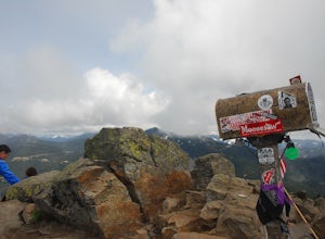
Mailbox Peak Old Trail
4.44.96 mi / 3898 ft gainNote this adventure covers the old route. For the updated route, check out Hike Mailbox Peak New Trail. Take exit 34 from I-90. Head north on 468th Ave SE until the intersection with the SE Middle Fork Road. Turn right onto the Middle Fork Road. Follow SE Middle Fork Road 2.2 miles to the stop ...Read more -
North Bend, Washington
Mailbox Peak New Trail
4.210.53 mi / 4127 ft gain*Disclaimer this article is in regards to the newly built trail.* For the old trail, head to Hike Mailbox Peak. Just off of exit 34, Mailbox Peak offers a birds-eye view of the surrounding area. This hike begins at a mere 800 ft. above sea level and by the time you are done you are nearly touch...Read more -
Gold Bar, Washington
Sunset Falls
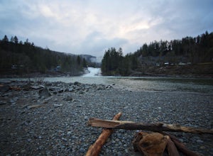
1.0Note: Please be careful when exploring the falls. We recommend not walking on the surfaces directly next to the falls as the water is moving very quickly and can pick you up quickly. The falls are home to several very sad losses. Sunset Falls is the largest and the final of the three major wate...Read more -
Quincy, Washington
Catch the Sunset at Wild Horse Monument
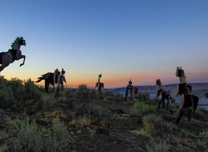
4.00.4 mi / 150 ft gainIf you're traveling along Hwy 90 in the middle of Washington State, the Wild Horse Monument is a fun and rather quick area to explore. Located 30 miles east of Ellensburg and 60 miles northwest of Yakima, the monument is located just across the Columbia River as you head east. As you drive, there...Read more -
Gold Bar, Washington
Lake Serene and Bridal Veil Falls
4.87.74 mi / 2569 ft gainConsider this a must-do if you are in Seattle and feel like knocking out two amazing hikes AND getting to see a hidden lake all along US 2. The trail starts out on an old road with the typical amazing forest surrounding you. After roughly 2 miles the road will end and you can go right (signage i...Read more -
North Bend, Washington
Twin Falls
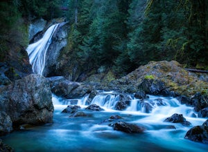
3.32.51 mi / 778 ft gainFor a portion of this 3-mile hike, you'll trek next to the South Fork Snoqualmie River, so take in the peaceful sound of the river running. Along the trail runs a river, where massive boulders create wading pools of icy water for warm summer days. At 1.5 miles, you'll reach a viewpoint bridge, wh...Read more -
King County, Washington
Teneriffe Falls (Kamikaze Falls)
4.55.64 mi / 1732 ft gainThe lesser known Mt Si Rd trail starts off as a relatively flat road. This continues for two miles until you reach the Teneriffe Falls sign. Upon turning right at this junction, the terrain takes a shift and the incline steepens. This is where most of the elevation is gained. The rest of the way...Read more -
North Bend, Washington
Drive Along the Middle Fork Snoqualmie River
5.0Some days you don't need to tackle a grueling summit or long mileage loop, just getting outside the city is enough. Driving forest roads is always an adventure and pays its dividend in seclusion, viewpoints, and peacefulness. The Middle Fork Snoqualmie (FR56) offers a photo enthusiast numerous pi...Read more

