Peshastin, Washington
Looking for the best photography in Peshastin? We've got you covered with the top trails, trips, hiking, backpacking, camping and more around Peshastin. The detailed guides, photos, and reviews are all submitted by the Outbound community.
Top Photography Spots in and near Peshastin
-
Quincy, Washington
Ancient Lakes via Judith Pool
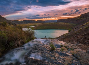
3.64.44 mi / 558 ft gainAll around you, waterfalls pour over cliffs as you gaze upon colorful lakes. If you're lucky, a coyote scampers by through a patch of wildflowers – it's just another beautiful day in the Ancient Lakes basin, a gem tucked along the Columbia River Gorge in Central Washington. From the parking lot,...Read more -
North Bend, Washington
Rainy Lake Trail
4.09 mi / 3205 ft gainThis is an abandoned trail that heads south along Rainy Creek, off of the downstream section of the Middle Fork Snoqualmie Trail, and up to Rainy Lake. The lake is popular among fisherman, since it is home to lots of trout, but be warned -- route-finding skills are a must on this trip. I do my be...Read more -
North Bend, Washington
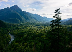
Middle Fork Snoqualmie River Trail
27.57 mi / 3609 ft gainThis beautiful tucked-away trail offers runners, hikers, and backpackers a new view of their favorite neighboring peaks - like Mailbox Peak and Mt. Si - from one of the most scenic river trails in the Seattle area. Often overlooked in favor of more rigorous hikes, the Middle Fork is a gently gra...Read more -
Leavenworth, Washington
Scramble Fortress Mountain
5.022 mi / 6000 ft gainThe Approach Starting at the Trinity trailhead you'll hike the Buck Creek Trail towards Buck Creek Pass. The trail is fairly obvious once the snows have melted but if you are going early season (June-early July) you will definitely want to bring a GPS. The trail works it's way up the valley alon...Read more -
North Bend, Washington
Hike Pratt Balcony
2.2 miThis one can be a bit tricky to find. The trailhead is unmarked and is a bit hidden around a curve of Middle Fork Road so it is easy to miss. At about 9.80 miles from the junction of 468th St. and Middle Fork Road, look for two signs on the right warning of upcoming gravel patches (probably will ...Read more -
North Bend, Washington
Summit Mt. Defiance
5.011 mi / 3300 ft gainThis hike offers some of the best views one can see in the area. On a clear day, you'll get amazing views of Mt. Rainier. The best part is that as you start heading uphill in the first half mile, you'll get great views of McClellan Butte. Once you reach the summit of Defiance at 5584 feet, you'll...Read more -
North Bend, Washington
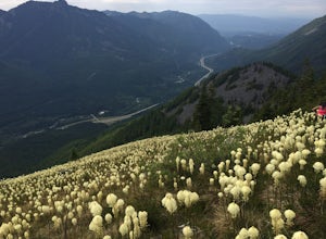
Bandera Mountain
4.47.8 mi / 3176 ft gainThis hike has unreal views of Mount Rainier. On a great clear spring day, the mountain is out. It's right in your face. It's incredible. If you tackle this hike in the spring the bear grass and wildflowers are alive and blooming towards the top and it makes for some fantastic picture-taking. Once...Read more -
Ellensburg, Washington
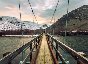
Hike Umtanum Creek Canyon
4.53 mi / 500 ft gainPark your vehicle at the Umtanum Creek Canyon Recreation Area. Be aware that from mid-May to mid-September there is a $5.00 per vehicle, per day parking fee since the land is owned by Bureau of Land Management.Grab your gear and head for the swinging suspension bridge that will lead you over the ...Read more -
Gold Bar, Washington
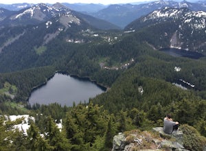
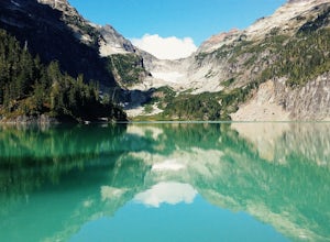
Blanca Lake
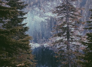
5.07.42 mi / 3540 ft gainAlthough the drive to the trailhead is mostly over gravel roads, Blanca Lake is a very popular hike. The drive is better for cars with clearance and AWD capabilities. The trail gets right down to it gaining almost 3,000 feet in the first 3 miles. But don't worry, the hard work is well worth the...Read more -
Gold Bar, Washington
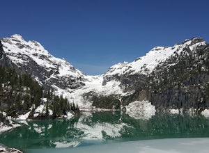
Winter Backpack to Blanca Lake
7.5 mi / 3300 ft gainSince Blanca Lake is a very popular place for folks to explore and with the nice and sunny weekend. I drove out Friday night and slept in my Jeep. Got up at 7:30am when folks first started arriving to the trail head.A couple of things to keep in mind before you start this hike. The 7.5 miles ro...Read more -
Leavenworth, Washington
Hiking the Lyman Lakes
5.021 mi / 2775 ft gainStart out on the Phelps Creek Trail and hike in 6.5 miles to reach the head of Spider Meadows. Continue on up the trail to the the base of the Spider Snowfield around 6200 feet for even better views of the entire Phelps Basin. Follow the trail up the snowfield for .5 miles to the top of Spider Ga...Read more -
Leavenworth, Washington
Carne Mountain
7.4 mi / 3599 ft gainDrive USFS Road 62 for 23 miles from Lake Wenatchee (turn left at Cole's Corner off of Highway 2 towards Lake Wenatchee). Turn right on USFS Road 6211 for ~2.5 miles to the end at the Phelps Creek Trailhead. Begin to hike the Phelps Creek Trail but in 1/4-1/2 a mile, take a right on the Carne Mo...Read more -
Leavenworth, Washington
Backpack to Ice Lakes Basin
20 mi / 7600 ft gainBegin your adventure at the Phelps Creek Trailhead, roughly a 4 hour drive from Seattle. Make sure your car has good clearance and traction because the last section of the forest service road gets a little rough. Only a few minutes after starting down the trail, you will reach a split that head...Read more -
Leavenworth, Washington
Spider Gap to Buck Creek Pass
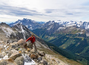
5.034.4 mi / 8317 ft gainBackpacking the Spider Gap to Buck Creek Pass Loop in the Glacier Peak Wilderness is no easy task, but yields some of the most spectacular views found in Washington. Plan for at least four days in order to stay fresh and to allow for extra time to soak in the Cascadian beauty that assaults your ...Read more -
Gold Bar, Washington
Barclay Lake
4.44.4 mi / 607 ft gainWith less than 500 feet of total elevation and 4.4 miles of round trip hiking, the Barclay Lake trail is a perfect hike for beginners, families, or those looking for a quick morning or afternoon jaunt. Yet dont let the simplicity of the hike fool you. The end result of the hike is nothing short o...Read more -
Gold Bar, Washington
Baring Mountain
4.62 mi / 3556 ft gainDon't let the low mileage trick you – this is not an easy climb. Give yourself plenty of time to summit this beast of a mountain. Starting at the Barclay Lake Trailhead, be careful not to jump onto the Barclay Lake Trail. The path to Baring Mountain is hidden down a path leading from the bathroo...Read more

