North Bonneville, Washington
Top Spots in and near North Bonneville
-
Cascade Locks, Oregon
3.7
12.55 mi
/ 5167 ft gain
This hike starts at the Starvation Creek Rest Area. After parking, head west back along the shoulder of the freeway, where you’ll see a wooden sign stating “Mt. Defiance Trail.” Continue heading west along the abandoned Columbia River Highway. Keep going west as you pass the junction with the Sta...
Read more
-
Cascade Locks, Oregon
3.7
2.69 mi
/ 1001 ft gain
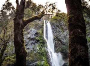
Starvation Creek Falls is an impressive 190 ft. waterfall just a few feet from the parking lot. If you don't know it's there, you'll miss it. Keep walking past the restrooms, away from the trail head to see this beautiful two-tiered waterfall. There are a couple of picnic tables near the creek to...
Read more
-
Cascade Locks, Oregon
The Starvation Creek Falls drops 141ft down into a naturally formed bowl, cascading past a wooded picnic area and onto the Columbia River. The falls are one of the easiest falls to access in the Columbia River Gorge along with Multnomah Falls, but are far less Crowded. The short 300ft walk from t...
Read more
-
Cascade Locks, Oregon
4.5
1.89 mi
/ 571 ft gain
The hike along Mt. Defiance Trail to Warren and Lancaster Falls is great if you want to get away from some of the more crowded destinations in the gorge, or just want to catch some shade during the summer. The trail is fairly easygoing, though the last 1/4th of a mile to Lancaster Falls is a bit ...
Read more
-
Corbett, Oregon
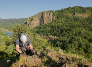
Head to Rooster Rock State Park off exit 25 on I-84 E in the Columbia River Gorge. Park at the west end of the park.There are multiple paths at the west end of the park heading south to I-84. If you go too far west, you will hit water. Pick one of these paths which lead to the edge of the freeway...
Read more
-
Corbett, Oregon
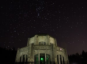
The Vista House located in the Columbia River Gorge offers those looking to photograph the night sky without traveling long distance from Portland the opportunity to do so. Vista House is just far enough away from Portland's light pollution to allow you to capture enough stars on a clear night.T...
Read more
-
Yacolt, Washington
The Grouse Vista Trailhead is located through the town of Washougal off of highway 14 just past Camas. Once you leave the city, the road will turn to gravel and dirt though it is fairly well maintained until snow arrive and accessible by most cars so long as you're willing to get drive over loose...
Read more
-
Yacolt, Washington
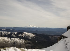
Silver Star is simply a must-do hike for adventure lovers here in the Northwest!From the parking area, take the main trail up to the first open meadow. Eds Trail splits off here, meeting back up just before the summit. Be warned, Eds Trail is much steeper in sections and is more difficult than th...
Read more
-
Hood River, Oregon
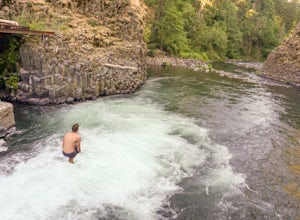
Getting to Punchbowl Falls is a super quick hike to a fun cliff-jumping swimming hole and waterfall. Be careful hiking the steep trail to the falls. Make use of the rope.
Be VERY careful approaching the edge of the cliff higher up and know your limits when it comes to jumping. Always walk down a...
Read more
-
Cook, Washington
NOTE: Access to this hike is currently closed. A Part of this hike goes through private land. At this time, the landowner is not granting access to hikers.
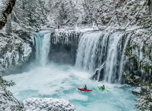
There are no signs or trail head for the falls, but it's a popular spot for kayakers and photographers, so look for a faint boot path direct...
Read more
-
Carson, Washington
4.6
0.64 mi
/ 180 ft gain
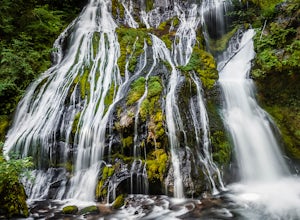
This hidden beauty is just north of Carson, Washington. Watch for Panther Creek campground signs and follow the twisting road about 7 miles to a rock quarry and park there. The trail begins just off the road about 50 yards back - keep an eye out for signs for the trailhead and listen for the fall...
Read more
-
Mount Hood, Oregon
4.9
7.17 mi
/ 2428 ft gain
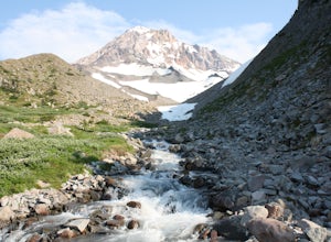
The hike to McNeil Point begins at Top Spur Trailhead, in the Mt. Hood National Wilderness. Follow signs for McNeil Point along the Pacific Crest and Timberline Trails heading north.
Though there are numerous camping opportunities along the way (most of the route follows the PCT), an old stone s...
Read more
-
Mount Hood, Oregon
4.5
12.5 mi
/ 2800 ft gain
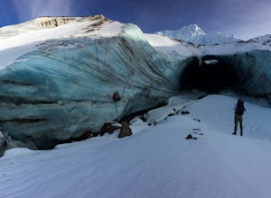
The hike to the caves begins at Top Spur Trailhead. The hike to McNeil Point is 5.4 miles one way, and 2200 feet of elevation gain. The trail starts in the forest, but will eventually open up to views of Mt Hood, as well as St. Helens, Adams and Rainier on a clear day.There is a shortcut up to Mc...
Read more
-
Mount Hood, Oregon
4.0
2.26 mi
/ 627 ft gain
Starting at the parking area, cross the dirt road to start hiking up from the Top Spur Trailhead. In 0.4 miles you will reach the Pacific Crest Trail intersection, take a right onto the Pacific Crest Trail. In a couple hundred feet you will reach a larger intersection of a bunch of different trai...
Read more
-
Carson, Washington
4.8
5.82 mi
/ 1512 ft gain
The trail to Falls Creek Falls is well maintained with a few short moderately steep areas. The trail hugs the creek for the first mile, and takes you through old growth trees for the second mile. Once the falls are in sight, make sure to stop and look up to see the top tier through the trees. It'...
Read more
-
Rhododendron, Oregon
4.7
7.17 mi
/ 1148 ft gain
I'd been wanting to do this hike for quite a while, and when I found work taking me to Portland, I made my return trip through the Mt. Hood wilderness area. I started this Hike from the Ramona Falls trailhead, which is the most popular starting point. The easiest way to find the trailhead, is t...
Read more

