North Bonneville, Washington
Top Spots in and near North Bonneville
-
Portland, Oregon
4.5
1.88 mi
/ 325 ft gain
Mount Tabor City Park is located in the heart of southeast Portland and is situated atop an extinct volcano. It’s comprised of more than 190 acres of beautiful Douglas Fir forest and features several relatively easy routes to the top: the easiest being the road you can drive (but what’s the fun i...
Read more
-
Portland, Oregon
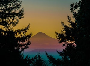
Sitting 400 feet above the city with views of Mt. Hood and Portland doesn't sound to bad right?? Mount Tabor is located in Southeast Portland and is a once active volcano. There are 196 acres of park for you to explore.
In order to photograph the best pictures of Mt. Hood I highly suggest gettin...
Read more
-
Ariel, Washington
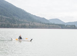
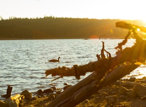
Just 55 miles northeast of Portland lies a body of water so pure you have to see it to believe it...that's right, we're talking about Yale Lake. One of three lakes beneath Washington's ever rumbling Mount St Helens, Yale offers the outdoor lover just about everything they could ask for: calm wat...
Read more
-
Mosier, Oregon
4.0
3.56 mi
/ 1168 ft gain
The trail begins at the Rowena Crest Overlook on the Old Columbia River Highway between Hood River and the Dalles. Park at the Rowena Overlook, and you find the trail on the south side of the area. Follow the trail to the top of McCall Point. The trail is fairly level at first but then climbs ste...
Read more
-
Mosier, Oregon
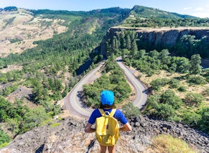
If you're looking for a minimal effort pit stop on the drive through the Columbia River Gorge with huge bang for your buck, this is the spot. Rowena Crest is an iconic viewpoint that creates a horseshoe curve along the road. This unique shape is one of the most photographed roads in Oregon. It's ...
Read more
-
Government Camp, Oregon
Located just 1.5 Hours from Portland and on the east side of clear lake, this campground offers multiple water activities such as Kayaking, SUP, Fishing, and Swimming. What's great about this campground is that the sites are large and are shaded by the old growth trees which makes it feel more s...
Read more
-
Lyle, Washington
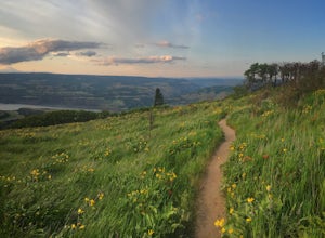
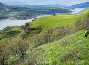
This hike is actually on a nature preserve owned by the Friends of the Columbia Gorge, on the Washington side of the Columbia Gorge. It's fairly unknown and you can enjoy amazing views of the Gorge, wildflowers during the springtime, and a trek through an old oak forest. The hike begins at an unm...
Read more
-
Cougar, Washington
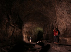
As if erupting volcanoes weren't awesome enough, ancient lava flows also left behind these giant, hollow tubes as they cooled. Spend all day exploring deep underground in this 2.5 mile cave.To get there, head to the SOUTH side of Mount Saint Helens. You must pass through the town of Cougar to get...
Read more
-
Portland, Oregon
Starting at OMSI, walk towards the Hawthorne bridge, and away from the Tillicum bridge. After about a tenth of a mile, you will see a dock and the Hawthorne bridge. Walk down on the dock, or take pictures from above. For added adventure, walk under the Hawthorne bridge and take pictures from the ...
Read more
-
Portland, Oregon
Springwater Corridor is a 40-mile paved trail that stretches from downtown Portland all the way to Boring. This trail is wide, virtually flat, and yes, paved - but there is a clear manmade path on the dirt shoulders that's friendlier to knees. Any given day, you'll see dozens of cyclists and pede...
Read more
-
Portland, Oregon
Looking for a quick run along the water in the heart of Portland? Look no further. This relatively flat 2.6 mile loop runs right along the Willamette and features great views of the city’s bridges, river, the downtown skyline, and all of the fun people enjoying this urban park.
From the Salmon S...
Read more
-
Cougar, Washington
4.8
10.53 mi
/ 5725 ft gain
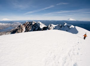
The Worm Flow Route, starting at Marble Mountain Sno Park, is the most direct winter route up to the summit. You'll start at around 2,700 feet and begin a steady walk along the trail for 2 miles. Although the trail is fairly well marked well above the snow, you'll want to pay attention to the arr...
Read more
-
Cougar, Washington
5.0
5.93 mi
/ 1079 ft gain
In the winter you will need to start at Marble Mt. Snowpark and purchase a snow park permit. The hike starts here on the eastern side. Follow the Pine Ski Trail for about 1 mile along NF-83 Road. Then follow the June Lake Trailhead up to June Lake for about 1.5 miles. You will come to June Lake a...
Read more
-
Portland, Oregon
This is a great little adventure for those looking to get on the water, but who don’t have time to escape the city. Paddle the loop around Ross Island for a scenic workout and a relaxing picnic.To begin your loop, put-in at Sellwood Riverfront Park – it features easy parking and sandy beach at al...
Read more
-
Clackamas County, Oregon
Little Crater Lake to Timothy Lake Campground is an out-and-back trail that takes you by a lake located near Government Camp, Oregon.
Read more
-
Cougar, Washington
4.0
32.46 mi
/ 7014 ft gain
This is a very difficult hike. Camp sites are scarce and access to water is very limited. Overexposure is a concern so be sure to pack a hat and apply sunscreen frequently. There are sketchy sections of the trail where you will be forced to navigate steep washed out gullies that are unstable due ...
Read more

