Marblemount, Washington
Top Spots in and near Marblemount
-
Whatcom County, Washington
Yellow Aster Butte and Tomyhoi Peak
4.713.4 mi / 4902 ft gainThe best way to describe the location is due east of Bellingham. After driving through gorgeous roads to reach Twin Lakes Road (fire service road 3065), you are treated to about a 4-mile drive up to the trailhead for Yellow Aster Butte (8.3 miles RT with 2850' of gain) and Tomyhoi Peak. The drive...Read more -
Whatcom County, Washington
Yellow Aster Butte
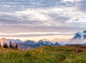
9.08 mi / 3258 ft gainYellow Aster Butte has to be one of the most visually rewarding hikes in the Mt. Baker-Snoqualmie National Forest for the effort required to get there. Abundant with lush, rolling mountain meadows, hikers can be treated to an abundance of wildflowers, heather fields, and berry patches with dreamy...Read more -
Whatcom County, Washington
Winchester Mountain Fire Lookout
4.83.28 mi / 1335 ft gainWinchester Mountain is said to have the greatest reward for least amount of effort in all the North Cascades. One of the last fire-lookouts in the region stands on the summit. Views from the summit of Winchester Mountain are beautiful and dramatic to say the least. Being one of the easiest hikes...Read more -
Whatcom County, Washington
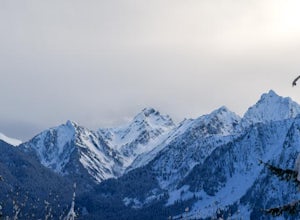
Winter Hike to Winchester Mountain
3.5 mi / 1320 ft gainDespite this trip report being titled "to Winchester Mountain", the fun doesn’t stop there. Even though Winchester Mountain is the most popular summer hike departing from Twin Lakes, this whole area turns into a fun-zone during the winter.Upon reaching higher ground above the lakes, this zone off...Read more -
Deming, Washington
Visit Nooksack Falls
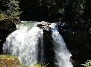
The View. Nooksack Falls is a wonder of a sight, tumbling 88 ft in two segments averaging 50 ft across. A quick stroll from the parking area brings you to the upper or "lower" view, where you can either see the top of the waterfall cascading away from you, or see the whole waterfall. The water...Read more -
Deming, Washington
Hike Skyline Divide
5.09 mi / 2500 ft gainIf driving 13 miles on a forest road, and hiking miles of switchbacks doesn't bother you, your in for one of the most exquisite views that you can get from hiking in Washington state.Just a mile outside of the town of Glacier, turn onto Forest Road 37 and follow it up switchbacks for the majority...Read more -
Granite Falls, Washington
Dispersed Camp near Beaver Creek Group Camp, Mt. Baker Snoqualmie NF
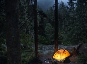
This campsite is located along the Mountain Loop Highway. There are various options for dispersed camping around the area, as well as some you can reserve ahead of time such as the Coal Creek Campground and the Beaver Creek Group Campground. This campsite is located just before Beaver Creek grou...Read more -
Darrington, Washington
Climb Sloan Peak via the Corkscrew Route
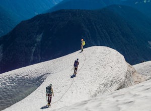
5.014 mi / 6035 ft gainYou'll start the approach to this climb at the Sloan Peak trailhead at 1800ft elevation. Moving south along the trail, you'll begin with a traverse through some marshlands and several water crossings along the Sauk River and its tributaries for the first mile and before gaining any elevation. It ...Read more -
Granite Falls, Washington
Snowshoe to Coal Lake
13 mi / 1600 ft gainhttps://www.theoutbound.com/wa...Starting out at the Deer Creek gate of Mountain Loop Highway the road is flat and uneventful for the first 2 miles or so, though it does offer some great views of the Big Four as well as a few other peaks and the babbling south fork of the Stillaguamish river. The...Read more -
Granite Falls, Washington
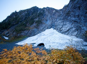
Big Four Ice Caves
4.32.38 mi / 289 ft gainDisclaimer: Hiking into the caves is extremely dangerous as there is potential for the ice to fall. We do not recommend hiking inside of them and if you choose to do so, you're doing it at your own risk. This is a short hike at just 2.3 miles roundtrip with little elevation change. The hike take...Read more -
Deming, Washington
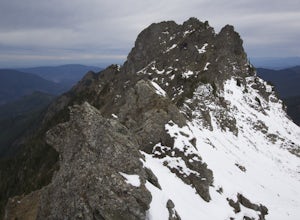
Summit Church Mountain
8.5 mi / 3750 ft gainStart by driving roughly 2.5 miles up Forest Road 3040, conveniently named E Church Mt Road, to the trailhead. The road is bumpy, but lacking the pot-holes that occupy many of the other forest roads. The only issue comes at 2 miles in where a stream runs over the road and has eroded a small ditch...Read more -
Darrington, Washington
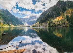
Hike to Goat Lake
4.510.4 mi / 1400 ft gainThe trail starts by lazily winding through beautiful forest. Fairly quickly, you'll reach a fork for the Upper and Lower Elliot Creek Trails. Both will take you to Goat Lake in about the same distance (~3 miles), but each offers a different take on the area. The lower trail winds along as it foll...Read more -
Darrington, Washington
Camp at Goat Lake
4.310.4 mi / 1400 ft gainIf you just loved your day hike to Goat Lake so much that you want to return and spend some more time, you're in luck - the lake offers a camping area that holds at least 15 campsites and even comes with a pit latrine. This is a great overnight option if you aren't looking for a difficult hike in...Read more -
Darrington, Washington
Winter Hike to Goat Lake
4.010.4 mi / 1400 ft gainThis trail is a perfect winter hike for the average outdoorsmen. Be warned that the most difficult part of this hike is getting to the trailhead in winter. The Mountain-loop highway can be a dangerous drive with black ice, snow, and serious potholes along the way. Take proper precautions like cha...Read more -
Winthrop, Washington
Hike Cutthroat Pass from Rainy Pass Trailhead
10 mi / 2000 ft gainThis hike begins at the parking area across from the Rainy Pass Trail Head. It is on the north side of Route 20. There is a larger parking area a little further down Route 20. The Pacific Crest Trail (PCT) is 2600 miles long and links the borders of Canada and Mexico as it travels through some of...Read more -
Winthrop, Washington
Snowshoe Heather Maple Loop Pass
7.2 mi / 2000 ft gainIf you have a whole day, then this trip is for you. Being three hours from Seattle has its perks. You get the views without the crowds. This hike is perfect for snowshoeing while the road remains open. Once closed it becomes extremely hard to get to, so make sure you get there while you can. Bein...Read more

