Marblemount, Washington
Top Spots in and near Marblemount
-
Winthrop, Washington
Heather-Maple Pass Loop
5.07.5 mi / 2185 ft gainNote to any hikers taking on this trail, this is a non-repeating trail meaning it goes in a big loop. The trailhead has 2 trail points of entrance. To the right (the pathway that is not paved) is the counter-clockwise route, a little less steep and more scenic at the start. To the left, the trail...Read more -
Pacific Crest Trail, Washington
Summit Black Peak
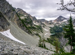
5.010 mi / 4400 ft gainStarting at the Heather-Maple Pass Loop Trailhead, jump onto the trail that will take you counter-clockwise along the loop. After about 1.25 miles, you will come to a split in the trail, take the right path and continue for just under a mile until you reach Heather Pass. Off to the right there ar...Read more -
Rainy Pass, Washington
Black Peak's South Ridge
3.07 mi / 4700 ft gainStarting at Rainy Pass trailhead, you'll proceed to skirt high above Lake Ann on a marvelously maintained trail. Without realizing you're about to arrive at a pass, you'll come to Heather Pass, where you'll need to take a right. Continuing straight is also a popular hike, especially during peak l...Read more -
Chelan County, Washington
Backpack at Wing Lake (North Cascades)
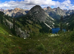
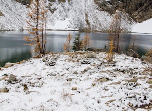
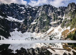
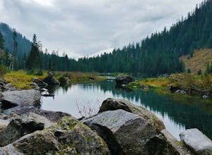
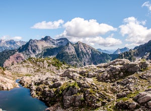
5.012 mi / 2652 ft gainFrom Rainy Pass, take the trail to Ann Lake (pictured with island and wildflowers). About 1 mile into hike, you'll reach a fork. Take the right trail to Heather Pass. From Heather Pass, take boot trail through talus field to Lewis Lake (pictured with green water and drift wood in foreground). Onc...Read more -
Chelan County, Washington
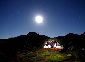
Camp at Snowy Lakes
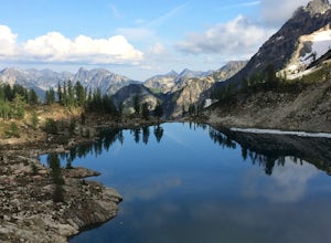
22 mi / 3550 ft gainTake Hwy 20 to Rainy Pass, and park at the trailhead on the east side of the highway. Begin on the Pacific Crest Trail (PCT), heading towards Cutthroat Pass.The trail winds it's way towards the pass at a gentle grade over 5 miles. As the trail ascends, you'll leave the forest behind as you enter ...Read more -
Chelan County, Washington
Backcountry Ski or Snowboard at Ann Lake
1.03 mi / 700 ft gain*Note: The mileage and elevation is only to the lake. It is not taking into account the ascent to reach the pass for runs. Maple Pass is about 1200' higher*Start off at the Rainy Pass Trailhead. Travel south towards Rainy Lake. After about 0.4 miles, you will come across a ravine that contains th...Read more -
Granite Falls, Washington
Hike to Perry Creek Falls & Mount Forgotten Meadows
11.5 mi / 3700 ft gainMost visitors park at this trailhead to hike Dickerman Mountain. Until this spring, so did I. However, don't overlook this stunning valley hike to Perry Creek, Mount Forgotten Meadows, and the scramble up Mount Forgotten!Begin this hike on the Perry Creek trail, which begins on the far left sid...Read more -
Granite Falls, Washington
Mt. Dickerman Summit
7.93 mi / 3675 ft gainIn general, this is a strenuous hike or snowshoe at approximately 8 miles round trip with nearly 4000 elevation gain. Be aware of current snow conditions and avalanche risk if heading up in the winter. Do not attempt a winter trip without proper knowledge, skill, and gear. Some previous winter tr...Read more -
Darrington, Washington
Backpack to Glacier Peak Meadows and White Chuck Glacier
34 mi / 9000 ft gainStarting at the North Fork Sauk Trailhead (NFD 49) off the Mountain Loop Highway, you will travel 5.3 miles and gain a leisurely 1,100 feet of elevation until you reach Mackinaw Shelter. This is where the real work begins. The trail gains a calf-burning 3,000 feet in the next 2.9 miles until you ...Read more -
Deming, Washington
Hike the Horseshoe Bend Trail
4.06 mi / 210 ft gainLocated just outside the town of Glacier, WA and 40 minutes prior to Mount Baker Ski area, sits the Horseshoe Bend Trail. A simple and straightforward 6 mile out and back route. To get here, take Hwy 542 towards the direction of Mount Baker. About 4 miles after you pass through the town of Glacie...Read more -
Granite Falls, Washington
Lake 22
4.65.98 mi / 1434 ft gainIf you're looking for a taste of the Mountain Loop Highway area, but don't have it in you for a longer, steeper journey, look no further than Lake 22. The trail starts out as flat and well-maintained, from the parking lot, before becoming a true mountain rainforest trail. Water and dampness are f...Read more -
Granite Falls, Washington
Heather Lake Trail
4.34.33 mi / 1165 ft gainThe trail takes you on a gradual climb up to Heather Lake with beautiful second growth to admire along the way. The trail can be very wet and muddy with many tree roots to catch your toes, so make sure to wear a sturdy pair of tennis shoes or hiking shoes. Dogs are permitted on this trail on-leas...Read more -
Granite Falls, Washington
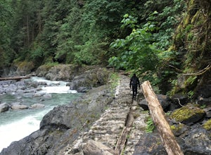
Old Robe Canyon Trail
3.69 mi / 771 ft gainNOTE: The trail is currently closed about 1 mile in due to landslides. This trail starts right off the Mountain Loop Highway outside of Granite Falls. Look out for a brick sign with the trail name, as it's easy to miss otherwise. There's parking next to the highway, but since there is a history...Read more -
Granite Falls, Washington
Climb Del Campo Peak, WA
5.0Begin by parking at Barlow Pass and following the Gothic Basin Trail to Foggy Lake. Most of the trip's mileage is consumed by just getting to Foggy Lake, from here, the summit sits about 3/4 of a mile distant and over a thousand above you.Face the mountain and identify the obvious leftward trendi...Read more -
Granite Falls, Washington
Gothic Basin
4.48.74 mi / 2785 ft gainLooking for a hike that will make you feel like you're in a foreign landscape, but don't have to deal with that far of a drive? Then consider hiking Gothic Basin. This hike is located only 30 miles down the Mountain Loop Highway, which is nearly a hour shorter for people that live in the greater ...Read more -
Granite Falls, Washington
Foggy Lake via Gothic Basin
4.59.78 mi / 3179 ft gainDrive the Mountain Loop Highway to Barlow Pass and park at the pass using your Northwest Forest Pass. (In early or late season, be aware of snow conditions at the pass and, more importantly, along the trail up to Gothic Basin.) From Barlow Pass, start hiking south past the trail gate and in the ...Read more

