Lewis County, Washington
Looking for the best hiking in Lewis County? We've got you covered with the top trails, trips, hiking, backpacking, camping and more around Lewis County. The detailed guides, photos, and reviews are all submitted by the Outbound community.
Top Hiking Spots in and near Lewis County
-
Ashford, Washington
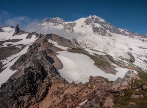
Backpack the Wonderland Trail
4.890 mi / 22000 ft gainPossibly one of the greatest loop hikes in the Lower 48, this trail sees a lot of use. You won't be alone out there, but opportunities for solitude are abundant with a little effort. The crowds show up for good reason - it's incredibly beautiful, relatively wild, and about as close to feeling l...Read more -
Ashford, Washington
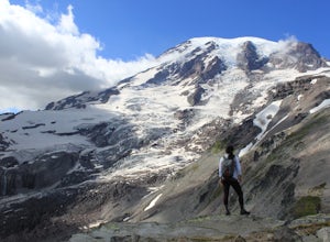
Hike to Camp Muir
4.58 mi / 4640 ft gainPack your sunglasses because this is one snowy hike! Camp Muir is a perfect camping or extended day hike destination for anyone who wants to experience the enchantment of Mount Rainier without committing to the summit. Starting at the Paradise trailhead at almost 4700 feet up, a steep and extreme...Read more -
Ashford, Washington
Mt. Rainier via Disappointment Cleaver
4.314.9 mi / 8993 ft gainMt. Rainier is a technical climb on all routes and is covered with glaciers all four seasons. It is not a mountain to learn mountaineering unless you hire a guide service who will help guide you up the mountain. With good weather and previous mountaineering experience, Mt. Rainier's Disappointmen...Read more -
Cougar, Washington
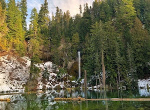
June Lake
2.47 mi / 0 ft gainJune Lake, is a beautiful mountain lake located in Gifford Pinchot National Forest, Washington. The out-and-back trail starts at the June Lake Trailhead and parking area. This hike is family-friendly at just under 2.5 miles to June Lake. Dogs are permitted on the trail on their leash. This park...Read more -
Cougar, Washington
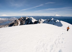
Mount St. Helens Summit via Worm Flows
4.810.53 mi / 5725 ft gainThe Worm Flow Route, starting at Marble Mountain Sno Park, is the most direct winter route up to the summit. You'll start at around 2,700 feet and begin a steady walk along the trail for 2 miles. Although the trail is fairly well marked well above the snow, you'll want to pay attention to the arr...Read more -
Cougar, Washington
June Lake Loop via Pine Martin Trail
5.05.93 mi / 1079 ft gainIn the winter you will need to start at Marble Mt. Snowpark and purchase a snow park permit. The hike starts here on the eastern side. Follow the Pine Ski Trail for about 1 mile along NF-83 Road. Then follow the June Lake Trailhead up to June Lake for about 1.5 miles. You will come to June Lake a...Read more -
Packwood, Washington
Snow Lake Trail
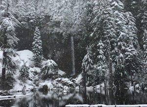
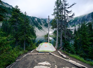
3.82.12 mi / 427 ft gainSnow Lake is a beautiful lake in Mount Rainier National Park in Washington. You can do the 2.6 mile roundtrip hike to the lake as either a day trip or as a backcountry camp. To camp at one of the two sites on the lake you must secure a permit from the permit office at Longmire. The hike to the s...Read more -
Ariel, Washington
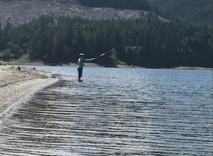
Fly Fish Merrill Lake
1 mi / 100 ft gainSurrounded by old growth forest, Merrill Lake near Cougar, Washington is the perfect little gem to get in some late summer, mid-elevation mountain lake fishing. The morning and evening hatches are known state wide for the size of fish they attract. There are stories of Eagles even stealing trout ...Read more -
Cougar, Washington
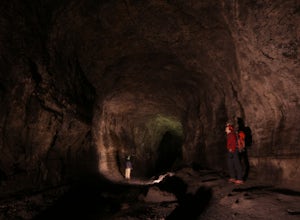
Explore the Ape Caves
4.0As if erupting volcanoes weren't awesome enough, ancient lava flows also left behind these giant, hollow tubes as they cooled. Spend all day exploring deep underground in this 2.5 mile cave.To get there, head to the SOUTH side of Mount Saint Helens. You must pass through the town of Cougar to get...Read more -
Packwood, Washington
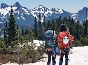
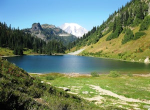
Hike and Fish the Tatoosh Lakes
7 miLocated just south of Mountain Rainier National Park, Tatoosh Lakes and Tatoosh Wilderness area are a great hiking destination to find scenic views, wildflowers, wildlife, and two beautiful alpine lakes.Tatoosh Trail #161 does not waste any time getting down to business as it ascends almost 3000 ...Read more -
Ashford, Washington
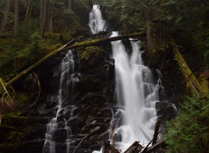
Hike to Rainier NP's Ranger Falls
4.57 miWhen heading to the adventure, stopped at the ranger station in Carbon to get your day pass ($5.00) and then continue on to the trailhead. Park on the road next to the Carbon river around. Start the hike down an old paved road that eventually leads through some trails and then to a gravel road. T...Read more -
Randle, Washington
Hike to Packwood Lake
9.2 mi / 1535 ft gainThis is a relatively tame hike through the beautiful Gifford Pinchot National Forest, winding to the Goat Rocks Wilderness. With only 600 feet of elevation gain over 4.6 miles in, I would recommend it for hiking or trail running. Keep in mind this trail is open to horses and other stock so you ma...Read more -
Lewis County, Washington
Hike Indian Bar - Cowlitz Divide via Box Canyon
14.64 mi / 4235 ft gainThere are multiple ways to access Indian Bar. This one starts at Box Canyon. From the parking area at Box Canyon walk across the road and follow the signs for Wonderland Trail. Head up the Wonderland trail through the trees to the split with the Cowlitz trail. Continue on the Wonderland Trail...Read more -
Carbonado, Washington
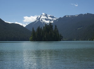
Summit Lake
4.56.13 mi / 1499 ft gainSummit Lake, nestled in a small basin just north of Mt. Rainier National Park in the Clearwater Wilderness, has everything a hiker could want in a day-hike or easy overnight backpack. The views, the well-maintained trail, and a perfect distance make this hike a must-do for anybody in the Pacific ...Read more -
Carbonado, Washington
Hike Bearhead Mountain
5.06 mi / 1800 ft gainFormerly the site of an old fire lookout, Bearhead Mountain located in the Clearwater Wilderness, provides great unobstructed views of the north side of Mount Rainier, Little Tahoma, and many other surrounding Cascade mountain peaks. In the summer months you are likely to encounter great wildflow...Read more -
Skamania County, Washington
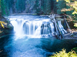
Hike to Lewis River Falls
4.3Distance: 5.4 milesElevation Change: 500ftThis Lewis River hike starts at Lower Falls then follows the Lewis River Trail #31, detours up to Copper Creek, before returning back to the main trail for the magnificent Upper Falls. Enticing views of the crystalline water in the Lewis River will make y...Read more

