Lewis County, Washington
Looking for the best hiking in Lewis County? We've got you covered with the top trails, trips, hiking, backpacking, camping and more around Lewis County. The detailed guides, photos, and reviews are all submitted by the Outbound community.
Top Hiking Spots in and near Lewis County
-
Randle, Washington
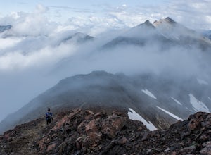
Hike to Elk Pass via "the Knife"
18.2 mi / 4000 ft gainThis is a rather long out and back, however, it can also be done as a backpack, which would give you more time to explore the Goat Rocks Wilderness, which is highlighted in other Adventures. For your trip to Elk Pass, begin your trek in the Snowgrass Flats parking lot. A Northwest Forest Pass is ...Read more -
Ashford, Washington
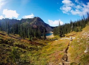
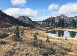
Hike to Upper Palisades Lake
6.6 mi / 1200 ft gainPark at the Sunrise Point parking lot and find the Palisades Trail at the northeast corner of the parking lot. If you bring along a pair of binoculars, you can stop at the first overlook on the left and scan the adjacent mountain slopes for the white dots of mountain goats. Continue down the trai...Read more -
Enumclaw, Washington
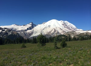
Hike Grand Park and Lake Eleanor
9 mi / 1100 ft gainPrepare in advance to hold your jaw from dropping. Stunning views of Mt. Rainier await visitors of Grand Park. A quick jaunt through the forest via the trailhead leads first to Lake Eleanor. Well groomed campsites are available for overnight stays.Head past Lake Eleanor and you're on the way to G...Read more -
Skamania County, Washington
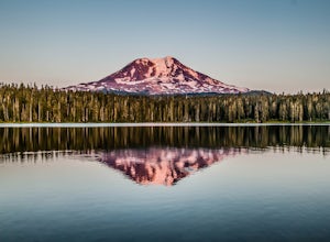
Camp at Takhlakh Lake
5.0Takhlakh Lake is located 7 miles NW of Mt Adams with a 53 site campground on the west side of the lake as well as a day use picnic area.The campground features a boat ramp and a wheelchair-accessible 1.1 mile flat trail, which encircles the lake, and accesses the Meadows Trail that climbs up to t...Read more -
Skamania County, Washington
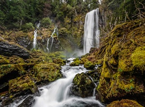
McClellan Falls
1.00.7 mi / 200 ft gainThe trail begins at the parking for McClellan Overlook. Head out of the parking area and cross over the highway before heading onto a faint, unmarked trail. You may have to do a little routefinding, so it's best to download this map before heading out so you can make sure you stay on path. This...Read more -
Naches, Washington
Hike the Naches Peak Loop Trail
5.03.5 mi / 700 ft gainNaches Peak Loop Trail is a great introductory trail to Mount Rainier National Park situated on the Eastern side of Rainier. Half located within Mount Rainier NP and half within Okanogan-Wenatchee National Forest, Naches Peak is a 3.5 mile trail with minimal elevation gain (700ft) yet with views ...Read more -
Gig Harbor, Washington
Run through Point Defiance Park
5.04.3 miPoint Defiance Park is the largest urban park in Pierce County and it provides a variety of amenities. Located at the very northwest tip of Tacoma, the park provides residents with a much needed retreat from the bustle of everyday life. Point Defiance Park is the place to go if you need a quick d...Read more -
Clatskanie, Oregon
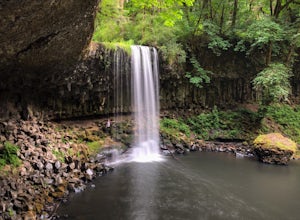
Beaver Falls Trail
3.00.58 mi / 0 ft gain…Beaver Falls is one of those spots where if you’re looking to avoid the crowd of the Columbia River Gorge, this is another good alternative on where you could go. Not only is that a huge plus, but it’s not often you get to experience a scenic waterfall that you don’t have to put in a ton of effo...Read more -
Amboy, Washington
Siouxon Trail to 14 Mile Falls
5.013.03 mi / 2310 ft gainWhen you park at the top of the trail, all you see is layers and layers of emerald trees and ground clear of any underbrush. Once on the trail, you start on a rapid decline that brings you to the first of the many streams along this hike. Cross the bridge made out of logs and head towards the ma...Read more -
Enumclaw, Washington
Crystal Peak Trail
7.49 mi / 2966 ft gainMake sure you are going out on a clear day to catch the best views of the mountains, and bring your camera! From the summit, it’s possible to see six volcanoes spanning two states. Baker, Glacier, Adams, Rainier, St. Helens and Hood wait patiently for you to climb the more-than-moderately steep p...Read more -
Randle, Washington
Hike to Goat Lake, Goat Rocks Wilderness
3.710.5 mi / 1400 ft gainThe trip to Goat Lake starts at the Walupt Lake campground parking lot. You will start on the Walupt Lake Trail (#101) and a short distance from the campground, take Trail #98 (Nannie Ridge) as it branches off and climbs steeply northeast onto an open, scenic ridge top.Continue on to Sheep Lake, ...Read more -
Skamania County, Washington
Climb Mount Adams North Cleaver Route
5.017 mi / 7800 ft gainMt Adams is the second tallest volcano in the Cascades and is one of the easiest to climb. There are two main nontechnical routes up Mt Adams, the well-known and crowded route on the south face, and the lesser traveled north cleaver route. The north cleaver offers solitude, views of Rainier, high...Read more -
Skamania County, Washington
Hike to Adams Glacier Meadows
7.5 mi / 1800 ft gainFor the most of the hike, the mountain is hidden behind the firs that surround the hiker as they gain elevation. Because of the dense forest the trail is remains in for most of the hike, it is nicely shaded and pleasant to wander through. At about 2 miles in, the trail leads the hiker into variou...Read more -
Enumclaw, Washington
Catch the Sunset at Suntop Lookout
5.0Catching a beautiful sunset has never been so easy. This lookout tower is accessible by vehicle. The road is fairly smooth too. No car would have any trouble getting up to the top. The last gate before the lookout tower/peak is about a mile down. The gate does close at 8pm but is ran by voluntee...Read more

