Lewis County, Washington
Looking for the best photography in Lewis County? We've got you covered with the top trails, trips, hiking, backpacking, camping and more around Lewis County. The detailed guides, photos, and reviews are all submitted by the Outbound community.
Top Photography Spots in and near Lewis County
-
Eatonville, Washington
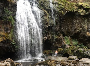
Hike to Little Mashel Falls
4.75.3 mi / 646 ft gainIf you have been trying to get behind a waterfall Eatonville Falls is the place to hike and get a great feeling out of it. Hiking to the waterfall would lead you to a railroad and pass it would lead to a river where you would follow it down to get to the waterfall. The hike itself is pretty sim...Read more -
Glenoma, Washington
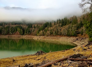
Explore Riffe Lake
I was looking for something a little new. I wasn't quite feeling a hike, and wanted to get some new photos to edit at a new location. After staring at a map of Washington for a little while, Riffe Lake grabbed my attention. This huge lake in the Southern Washington Cascades had been a spot I h...Read more -
Ashford, Washington
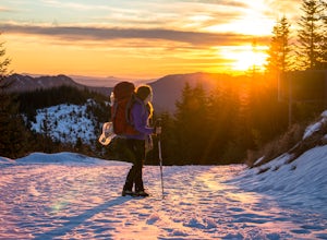
Snowshoe or Ski to Mt. Tahoma High Hut
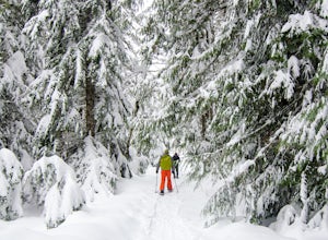
5.04.5 mi / 2400 ft gainMake the 3.2 - 4.5 mile hike up groomed trails to the Mt Tahoma High Hut (4750 feet) for the perfect winter getaway. Spend the day outside sledding, skiing, snowshoeing and playing in the snow with a spectacular view of Mount Rainier, Mount Adams, and Mount St. Helens. Afterwards go inside and en...Read more -
Toutle, Washington
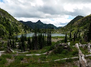
Backpack to Snow Lake by Mt. Whittier
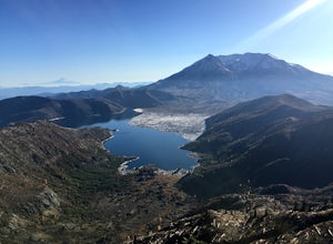
5.016 mi / 2700 ft gainThe Coldwater Lake Recreation Area has restrooms, telephones, and a picnic area. Make sure you have already acquired your permits for camping in the Mt. Margaret back country.Follow trail #211, which runs along the entire 4.5 mile length of Coldwater Lake. It is a beautiful and fairly flat hike w...Read more -
Toutle, Washington
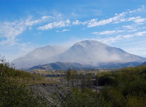
Hike the Hummocks Trail
2.4 mi / 0 ft gainThe trail has a number of ups and downs as you pass the many ponds and ash/rock/mud hills (hummocks) on your way towards the North Fork Toutle River. There is abundant wildlife in the area including birds, beaver and elk.This is also a great place to park and extend your day of hiking on the Boun...Read more -
Toutle, Washington
Mount Margaret's Ridge Camp via Coldwater Trailhead
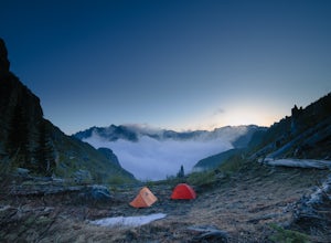
3.57.12 mi / 1634 ft gainThe hike is relatively easy. I'd say intermediate due to the incline at the beginning. Also intermediate due to it being an backpacking camp adventure. A friend of mine and I backpacked in to shoot the sunset and sunrise. We went a little early in the season so it was also to scout for future ad...Read more -
Toutle, Washington
Loowit Viewpoint
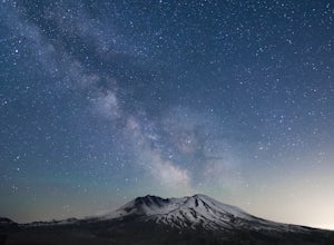
5.0From roughly May to September, both star gazers and photographers alike travel to the darkest locations in order to capture something truly magnificent- the galactic core of the milky way. The Loowit Viewpoint is unlike any around due to the perfect combination of it's remote location, higher ele...Read more -
Toutle, Washington
Hike to Coldwater Peak via Boundary Trail
5.014.8 mi / 2700 ft gainThe Boundary trail is amazing. It's 54 miles long and runs for the most part along a ridge in Gifford Pinchot National Forest. You can climb various peaks and viewpoints right off the trail, but this trip report is for climbing Coldwater Peak and hiking up to Harry's Ridge Viewpoint on the way. H...Read more -
Randle, Washington
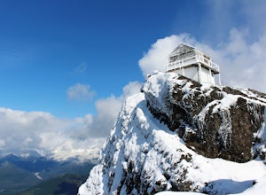
Hike to High Rock Lookout
5.03.2 mi / 1365 ft gainHigh Rock Lookout is aptly named. Perched at 5,685' on a slab of rock, it has sweeping views of the valleys below, Cora Lake, and Mount Rainier. Although it is only a short 1.6 mile hike to the top, it is a steep one. You gain 1,365' to reach the lookout, but the reward is grand.The trail follows...Read more -
Skamania County, Washington
Hike to Norway Pass
4.4 mi / 860 ft gainJust 96 miles south of Seattle, and 50 miles northeast of Portland, Mt. St. Helens and its wild, rugged beauty awaits you.Starting at the Norway Pass Trailhead parking lot, walk a dusty and sometimes ashy trail through recovering forest, low brush, wildflowers and blown down, sun bleached logs. T...Read more -
Eatonville, Washington
Hike to Gobbler's Knob
4.05 mi / 1500 ft gainEntering the Park from the Southwest Entrance, bear left when you approach the forking Westside Rd. This road has been closed a few miles in due to massive rockfall. When you reach the road closure, just park along the side of the road. In Spring and Summer, you should be able to see plenty of ot...Read more -
Ashford, Washington
Hike Kautz Creek to Indian Henry's Hunting Ground
11 mi / 2520 ft gainNamed after the Native American who lived here prior to Mt. Rainier becoming a national park, So-To-Lick's was dubbed "Indian Henry" by the postman who unfortunately did not learn his name. When heading out on this hike, keep an eye on the weather in Mt. Rainier National Park. If hiking this trai...Read more -
Ashford, Washington
Snowshoe to Longmire Lookout
4.1 mi / 800 ft gainStarting at the Longmire Trailhead, cross the road and begin snowshoeing counter-clockwise on the Trail of Shadows. This first 0.5 miles begins the hike as a nice warm up where you can make sure your snowshoes are adjusted properly and stop from time to time to learn some facts from the interpre...Read more -
Packwood, Washington
Carter & Narada Falls
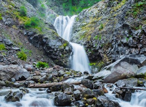
3.05.81 mi / 1434 ft gainThis hike starts off with a bang! The first thing you do is walk out into a rocky riverbed and get an amazing view of Mt. Rainier. From there, you'll cross a long log bridge to get over the river and head into the woods. After 1.1 miles, you'll come across Carter Falls, and about 100 feet down t...Read more -
Ashford, Washington
Hike to Comet Falls
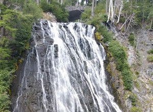
5.0Located on Paradise Road along the south side of Mount Rainier, the Comet Falls Trail follows Van Trump Creek up to the magnificent Comet Falls. The hike is 3.8 miles round trip with 1250' of elevation gain.The trail starts off at 3650' and soon crosses over a bridge above Christine Falls. It qui...Read more -
Ashford, Washington
Explore Rainier's Christine and Narada Falls
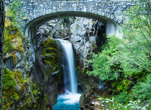
3.7Driving along Paradise Road on the south side of Mount Rainier, provides a couple of opportunities to view gorgeous waterfalls with a short hike. From the West, the first stop is Christine Falls. There is parking on either side side of the bridge, but the east side is closest to the trail. Desce...Read more

