Glenwood, Washington
Top Spots in and near Glenwood
-
Cook, Washington
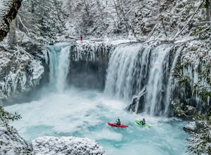
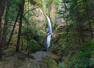
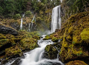
Spirit Falls
4.01.5 mi / 516 ft gainNOTE: Access to this hike is currently closed. A Part of this hike goes through private land. At this time, the landowner is not granting access to hikers. There are no signs or trail head for the falls, but it's a popular spot for kayakers and photographers, so look for a faint boot path direct...Read more -
Skamania County, Washington
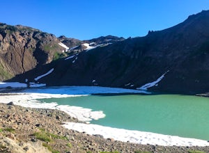
Indian Heaven to Blue Lake
4.56.71 mi / 997 ft gainCrowds and mosquitoes were nonexistent as we went a bit early in the season. The trails were all covered in snow, but we were able to do some way finding with a GPS and topo map. 3.5 miles in we found a dry spot next to Blue Lake and set up shop. After dropping off our gear we climbed up Gifford...Read more -
Lyle, Washington
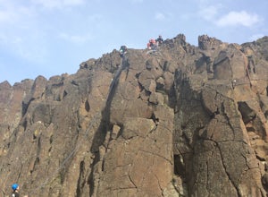
Rock Climb Horsethief Butte
Located on the Washington side of the Columbia River Gorge heading east on highway 14 at milepost 85. Pull into the parking lot on the right hand side of the road and the trailhead is located by the restrooms. Be cautious on warm days because this is rattlesnake country. There are signs poste...Read more -
Randle, Washington
Backpack the Snowgrass Flats, Cispus Basin, Nannie Ridge Loop
4.819.6 mi / 3000 ft gainTake three or four nights and check out some of the most epic views in the Pacific Northwest. Though you can do a shorter or faster route, I highly recommend you consider the 19-mile loop from the Snowgrass trailhead through Cispus Basin and Cispus Pass (6400'), and then back down Nannie Ridge. D...Read more -
Carson, Washington
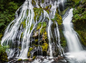
Panther Creek Falls
4.60.64 mi / 180 ft gainThis hidden beauty is just north of Carson, Washington. Watch for Panther Creek campground signs and follow the twisting road about 7 miles to a rock quarry and park there. The trail begins just off the road about 50 yards back - keep an eye out for signs for the trailhead and listen for the fall...Read more -
Randle, Washington
Hike to Goat Lake, Goat Rocks Wilderness
3.710.5 mi / 1400 ft gainThe trip to Goat Lake starts at the Walupt Lake campground parking lot. You will start on the Walupt Lake Trail (#101) and a short distance from the campground, take Trail #98 (Nannie Ridge) as it branches off and climbs steeply northeast onto an open, scenic ridge top.Continue on to Sheep Lake, ...Read more -
Skamania County, Washington
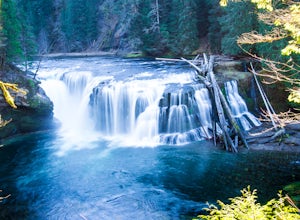
Hike to Lewis River Falls
4.3Distance: 5.4 milesElevation Change: 500ftThis Lewis River hike starts at Lower Falls then follows the Lewis River Trail #31, detours up to Copper Creek, before returning back to the main trail for the magnificent Upper Falls. Enticing views of the crystalline water in the Lewis River will make y...Read more -
Cascade Locks, Oregon
Warren and Lancaster Falls
4.51.89 mi / 571 ft gainThe hike along Mt. Defiance Trail to Warren and Lancaster Falls is great if you want to get away from some of the more crowded destinations in the gorge, or just want to catch some shade during the summer. The trail is fairly easygoing, though the last 1/4th of a mile to Lancaster Falls is a bit ...Read more -
Cascade Locks, Oregon
Mount Defiance
3.712.55 mi / 5167 ft gainThis hike starts at the Starvation Creek Rest Area. After parking, head west back along the shoulder of the freeway, where you’ll see a wooden sign stating “Mt. Defiance Trail.” Continue heading west along the abandoned Columbia River Highway. Keep going west as you pass the junction with the Sta...Read more -
Cascade Locks, Oregon
Lower Starvation Ridge Loop
3.72.69 mi / 1001 ft gainStarvation Creek Falls is an impressive 190 ft. waterfall just a few feet from the parking lot. If you don't know it's there, you'll miss it. Keep walking past the restrooms, away from the trail head to see this beautiful two-tiered waterfall. There are a couple of picnic tables near the creek to...Read more -
Cascade Locks, Oregon
Starvation Creek Falls
3.5The Starvation Creek Falls drops 141ft down into a naturally formed bowl, cascading past a wooded picnic area and onto the Columbia River. The falls are one of the easiest falls to access in the Columbia River Gorge along with Multnomah Falls, but are far less Crowded. The short 300ft walk from t...Read more -
Stevenson, Washington
Dog Mountain via Dog Mountain Trail
4.56.53 mi / 2858 ft gainThe Dog Mountain trailhead is located halfway between Stevenson and Bingen. Look for the big signed parking area just after milepost 53 (Eastbound). The parking lot fills up quickly, especially during peak wildflower season, so if you can go on a weekday that would be better. There are 3 trails ...Read more -
Stevenson, Washington
Dog Mountain: The Steeper Route
4.55.55 mi / 2858 ft gainIf you know the Columbia Gorge, you know Dog Mountain. It's the ever-rewarding, incredibly challenging, insanely popular, calf-burning 6.5-mile hike that attracts hundreds of people every weekend, especially during May and June when the wildflowers are in full bloom. If you're like me and you h...Read more -
Skamania County, Washington
McClellan Falls
1.00.7 mi / 200 ft gainThe trail begins at the parking for McClellan Overlook. Head out of the parking area and cross over the highway before heading onto a faint, unmarked trail. You may have to do a little routefinding, so it's best to download this map before heading out so you can make sure you stay on path. This...Read more -
Stevenson, Washington
Wind Mountain
5.02.5 mi / 1037 ft gainOnce you reach the parking lot, walk down the hill and find the trail head, which is easily seen as it is marked. Begin your trek up the trail. The way up is pretty much all uphill, and is a great workout for the legs. You will walk through forests and over many rocks on the way up. As soon as y...Read more -
Carson, Washington
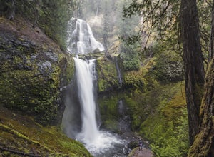
Falls Creek Falls
4.85.82 mi / 1512 ft gainThe trail to Falls Creek Falls is well maintained with a few short moderately steep areas. The trail hugs the creek for the first mile, and takes you through old growth trees for the second mile. Once the falls are in sight, make sure to stop and look up to see the top tier through the trees. It'...Read more

