Glenwood, Washington
Top Spots in and near Glenwood
-
Wasco, Oregon
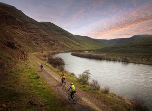
Mountain Biking the Deschutes River Trail
4.0The Deschutes River Trail—an old smooth road really, with a mix of dirt, sand and gravel—is a great mountain bike ride or hike for beginners and experts alike. While the trail is very easy, the scenery all along the route is breathtaking.Park at the well-marked trailhead just to the left as you e...Read more -
Cascade Locks, Oregon
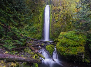
Gorton Creek Falls
4.71.01 mi / 361 ft gainThe Gorton Creek Falls hike provides an excellent challenge for those who are searching for a bit of adventure. The trailhead starts at the Wyeth Campground day use area, and continues straight at the intersection. The first 2/3rds of the trail are relatively easy to traverse (depsite being rough...Read more -
Cascade Locks, Oregon
North Lake via Wyeth Trail
1.012.36 mi / 4505 ft gainPark at the Wyeth Trailhead parking lot and start hiking south along the old road bed. At the junction with the Gorge-Wyeth Trail, bear left and follow the Wyeth Trail as it goes beneath several power lines. Follow the trail as it goes back into the woods and crosses Harphan Creek. Continue on an...Read more -
Cascade Locks, Oregon
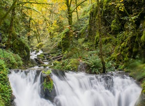
Emerald Falls
2.00.65 mi / 308 ft gainStart at the Wyreth Campground day-use area. If it's closed, park on the side of the road and walk in from the roadway. You'll see an intersection with a wooden bridge crossing the river. Take a few pictures and continue straight on the trail. You'll go about 1/2 mile on the trail until you rea...Read more -
Randle, Washington
Hike to Elk Pass via "the Knife"
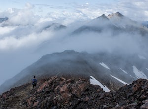
18.2 mi / 4000 ft gainThis is a rather long out and back, however, it can also be done as a backpack, which would give you more time to explore the Goat Rocks Wilderness, which is highlighted in other Adventures. For your trip to Elk Pass, begin your trek in the Snowgrass Flats parking lot. A Northwest Forest Pass is ...Read more -
Randle, Washington
Goat Lake-Jordan Basin Loop
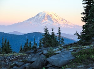
5.012.58 mi / 2703 ft gainThis is one of my favorite hikes for Washington State. Aside from the massive volcanoes hanging out down here, the southern region of the cascades is much more tame compared to areas further north. As I mentioned in my Old Snowy report, a jaw dropping side trip from the loop trail, the Goat Rocks...Read more -
Randle, Washington
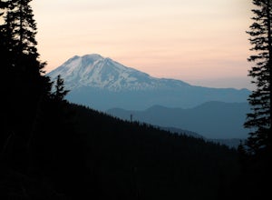
Summit Old Snowy Mountain
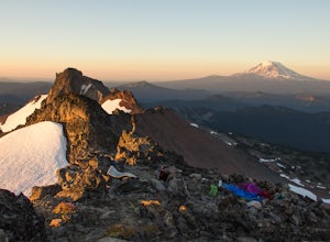
5.017 mi / 3800 ft gainThe hike begins just outside of Packwood, Wa at the Berry Patch Trailhead Trail #96, sitting pretty at about 4200ft. The Goat Lake/Jordan Basin loop trail starts here, leading to Old Snowy. The magical Goat Rocks Wilderness area is just southeast of Mt. Rainier. It also lies right in the crosshai...Read more -
Hood River, Oregon
Punchbowl Falls
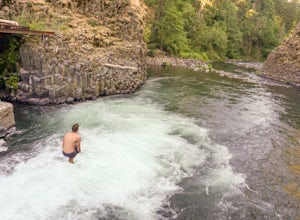
4.50.42 mi / 92 ft gainGetting to Punchbowl Falls is a super quick hike to a fun cliff-jumping swimming hole and waterfall. Be careful hiking the steep trail to the falls. Make use of the rope. Be VERY careful approaching the edge of the cliff higher up and know your limits when it comes to jumping. Always walk down a...Read more -
Yakima, Washington
Surprise Lake via South Fork Tieton Trail
13 mi / 1549 ft gainGetting There Take Road 1000 to start your hike at Conrad Meadows, which is also where you will park your car, be sure to leave your Northwest Forest Pass properly displayed on the dash of your car before you leave. Surprise Lake trailhead is one of the very few trailheads that starts out on th...Read more -
Skamania County, Washington
Fly Fish Lewis River, Cougar, WA
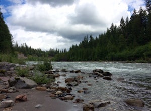
2.0An 1.5 hour drive NE from Vancouver, WA this section of the Lewis River makes for a perfect day fishing trip. Heading North on I-5 for approximately 20 miles take the Woodland / HWY 503 exit East and head towards Mt St. Helens. You'll follow the Lewis River along Hwy 503 (Lewis River Road) the ...Read more -
Mount Hood, Oregon
Explore Lavender Valley
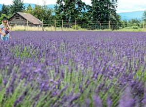
4.0Lavender Valley is a beautiful 6 acre hidden gem just 30 minutes south of Hood River, Oregon. Drive south on Hwy 35 for 12.6 miles to Woodworth Rd. Turn right/west onto Woodworth Rd. Take Woodworth Rd for 1.5 miles to Alexander Rd. Turn right/north onto Alexander Rd. Take Alexander Rd for 1 mile ...Read more -
Cascade Locks, Oregon
Explore Government Cove
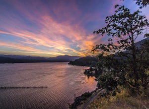
4.7From downtown Portland follow I-84 East for about 50 miles until you reach mile marker 51. Get back on the highway but Westbound until you reach mile marker 47 pull off and take a right over the train tracks and you're there.Beautiful scenery all around and if you get there early enough, you can...Read more -
Cascade Locks, Oregon
Indian Point via Herman Creek Trailhead
5.08.08 mi / 3658 ft gainPark at the Herman Creek Trailhead in Cascade Locks 2 miles from the exit. Remember to bring your Northwest Forest pass or a $5 payment to park. Start ascending on the Herman Creek trail a little over a mile until you hit a three-way junction for Gorton Creek Trail #408, Trail #400, and Herman ...Read more -
Carson, Washington
Steep Creek Falls
5.0Steep Creek Falls is located about 5 miles from the small town of Stevenson. Take Highway 14 one mile west of Stevenson to Rock Creek Drive and turn north, passing the Skamania Lodge and Resort. Turn left onto Ryan Allen Road and follow it for about a mile, then turn left onto Red Bluff Road. Fo...Read more -
Cascade Locks, Oregon
Dry Creek Falls via PCT
4.34.44 mi / 1191 ft gainThis is a 4.4 mile out and back hike with only 710 feet in elevation gain. From the parking area at the Bridge of The Gods Trailhead, make your way across the road to the Pacific Crest Trail, which runs parallel with I-84. Shortly you'll run into a street that goes under I-84. Make your way up...Read more -
Cascade Locks, Oregon
Tomlike Mountain
4.57.65 mi / 1198 ft gainBeginning at the Wahtum Lake trailhead, follow the Wahtum Lake Express trail down to the shore and head east (right) around the lake. At the junction with the Pacific Crest Trail, follow the Herman Creek Trail to the east (right, again). You'll begin your ascent out of the Wahtum Lake bowl and to...Read more

