Castle Rock, Washington
Looking for the best photography in Castle Rock? We've got you covered with the top trails, trips, hiking, backpacking, camping and more around Castle Rock. The detailed guides, photos, and reviews are all submitted by the Outbound community.
Top Photography Spots in and near Castle Rock
-
Amboy, Washington
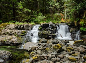
Siouxon Trail to 14 Mile Falls
5.013.03 mi / 2310 ft gainWhen you park at the top of the trail, all you see is layers and layers of emerald trees and ground clear of any underbrush. Once on the trail, you start on a rapid decline that brings you to the first of the many streams along this hike. Cross the bridge made out of logs and head towards the ma...Read more -
Cougar, Washington
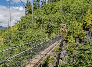
Hike the Lava Canyon
3.06.5 miStarting at the Lava Canyon Trailhead, you will walk on a paved trail down a few switchbacks until you reach the river, where you can go right or left. Either way takes you to the suspension bridge, but I recommend going right if you are following this guide. It will make more sense in a moment.A...Read more -
Seaside, Oregon
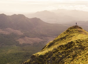
Saddle Mountain Trail
4.74.59 mi / 1644 ft gainSaddle Mountain is a pretty stellar spot if you are looking for a beginner/intermediate hike with incredible views close to Portland. The trail is a 5.2 mile round trip trail with an elevation gain of 1600 ft that starts at the Saddle Mountain Trailhead. You can actually camp right at the trail...Read more -
Astoria, Oregon
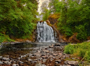
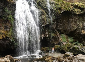
Youngs River Falls
4.50.33 mi / 59 ft gainYoungs River Falls is a scenic 50-foot waterfall on Youngs River, about 15 minutes outside of Astoria. The falls are somewhat unique in that the base is located only about 10 feet above sea level From Astoria. The falls have been featured in several movies, most notably Free Willy 2 and Teenage M...Read more -
Timber, Oregon
Hike the Upper Salmonberry River Trail
4.112.5 mi / 1600 ft gainIf you are craving adventure and exploration in a unique hiking setting, then you have come to the right place! This is a hike where every time you turn a corner your eyes light up with excitement and your imagination runs wild. Be forewarned though…if you fear cold, dark, and creepy abandoned tr...Read more -
Astoria, Oregon
Airport Dike Trail
3.04.11 mi / 79 ft gainParking for this hike can be found at either end of the trail. It starts at the west end of the Lewis & Clark Bridge from a small access road that is used as a parking lot. From here it is a flat walk along an old grassy road that is well maintained. If you forgot to bring along bags to pi...Read more -
Yacolt, Washington
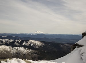
Hike Silver Star Mountain
4.6Silver Star is simply a must-do hike for adventure lovers here in the Northwest!From the parking area, take the main trail up to the first open meadow. Eds Trail splits off here, meeting back up just before the summit. Be warned, Eds Trail is much steeper in sections and is more difficult than th...Read more -
Warrenton, Oregon
Fort Clatsop
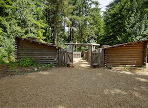
4.0Tucked in a forest within a few minutes drive of Astoria and along the Columbia River, Lewis and Clark National Historic Park is small in size but rich in history. If you're a wanderluster who appreciates learning about the early explorers that came before you this is a can't miss spot. My own...Read more -
Portland, Oregon
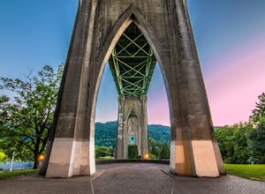
Explore Cathedral Park
4.5Located right underneath the St Johns Bridge, Cathedral Park is hard to miss. It was given its name due to the Gothic looking arches that sit above the park.This is one of my personal favorite places to photograph especially if you enjoy photographing bridges. This park can be crowded or have eve...Read more -
Portland, Oregon
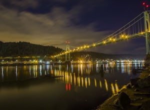
Photograph the St. John's Bridge
4.5To begin, park on North Pittsburg Ave and walk down to the river. Then, turn left and walk down the short less than a quarter mile until you see a spot where the beach is bigger than in other areas. This is an extremely good place to take photographs of the bridge, especially at night. Feel free ...Read more -
Eatonville, Washington
Hike to Little Mashel Falls
4.75.3 mi / 646 ft gainIf you have been trying to get behind a waterfall Eatonville Falls is the place to hike and get a great feeling out of it. Hiking to the waterfall would lead you to a railroad and pass it would lead to a river where you would follow it down to get to the waterfall. The hike itself is pretty sim...Read more -
Yacolt, Washington
Hike Silver Star Mountain via Grouse Vista
4.56 mi / 2000 ft gainThe Grouse Vista Trailhead is located through the town of Washougal off of highway 14 just past Camas. Once you leave the city, the road will turn to gravel and dirt though it is fairly well maintained until snow arrive and accessible by most cars so long as you're willing to get drive over loose...Read more -
Skamania County, Washington
Hike to Lewis River Falls
4.3Distance: 5.4 milesElevation Change: 500ftThis Lewis River hike starts at Lower Falls then follows the Lewis River Trail #31, detours up to Copper Creek, before returning back to the main trail for the magnificent Upper Falls. Enticing views of the crystalline water in the Lewis River will make y...Read more

