Carson, Washington
Looking for the best hiking in Carson? We've got you covered with the top trails, trips, hiking, backpacking, camping and more around Carson. The detailed guides, photos, and reviews are all submitted by the Outbound community.
Top Hiking Spots in and near Carson
-
Government Camp, Oregon
Mirror Lake Trail
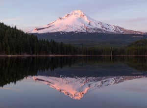
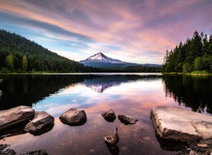
4.54.09 mi / 810 ft gainI was out doing the Ramona Falls hike, and I decided that I needed to find a lake that provided me with a great view of Mt Hood. My first stop was Trillium Lake, but with that being a “drive up” lake, there were tons of people. Tons of people only means one thing…turbulent waters! As I was dr...Read more -
Government Camp, Oregon
Tom Dick and Harry Mountain
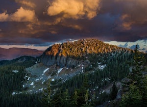
5.08.28 mi / 1726 ft gainLooking to score those iconic photos of Mt. Hood? Climb the well-graded trail to Tom Dick and Harry Mountain, one of the most accessible summit hikes to Portlanders, and see where they were all taken. Starting from the busy Mirror Lake Trailhead, climb roughly 900 feet and 1.5 miles to Mirror La...Read more -
High Prairie Trailhead, Oregon
Lookout Mountain via High Prairie Trailhead
2.69 mi / 531 ft gainLookout Mountain should be the most popular destination in Oregon given its views to effort ratio. Mount Hood seems close enough to reach out and touch from the open, rocky summit, and views extend from the Three Sisters in the south to Mount Rainier to the north. While the hike is popular in the...Read more -
Camas, Washington
Explore Camas Pothole Falls
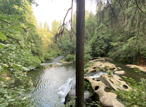
4.00.5 mi / 0 ft gainThis is on the Round Lake Loop trail and there’s a free parking area. It’s a relatively in and out hike that is family friendly but does have some downhill scrambles. Be careful when jumping as there has been fatalities in the past but as long as you’re practicing safe swimming you’ll be okay.Read more -
Camas, Washington
Hike Lacamas Heritage Trail
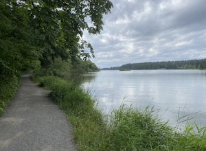
5.03.5 mi / 139 ft gainUsed often for cross country practice, the Lacamas Heritage Trail is a popular gem in Camas, Washington for all citizens. It is family and dog friendly and comes with endless scenic views of the beautiful Lacamas Lake. Parking is free and there are bathrooms at the entrance.Read more -
Skamania County, Washington
Hike to Lewis River Falls
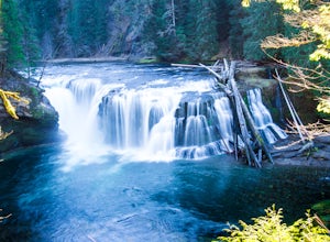
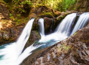
4.3Distance: 5.4 milesElevation Change: 500ftThis Lewis River hike starts at Lower Falls then follows the Lewis River Trail #31, detours up to Copper Creek, before returning back to the main trail for the magnificent Upper Falls. Enticing views of the crystalline water in the Lewis River will make y...Read more -
White River West Sno-Park, Oregon
Snowshoe Pacific Crest Trail at White River West
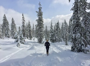
3.4 mi / 800 ft gainPark at White River West Sno-Park. Walk to the north end of the parking lot. Start a very brief way up the White River Trail. After 100-200 feet, step off the main trail, to your left, and head into the woods for some solitude. To get to the Pacific Crest Trail, look for the blue diamond trail ma...Read more -
Government Camp, Oregon
Camp at Trillium Lake
4.5The reflection of Mt. Hood on the lake makes this trip definitely worth the visit.Try to arrive during the day so you can watch the sunset. For photographers, the south side of the lake is an amazing spot to take photos, especially on a windless day. For those looking to kayak or fish, there is a...Read more -
Rhododendron, Oregon
Frustration Falls
3.08.26 mi / 1854 ft gainThe hike and possible rappel to Frustration Falls begins at the Salmon River trailhead right outside of Welches, Oregon. From the trailhead you follow the trail for about 4 miles at which point you reach Canyon View (Shown in pictures 5-6 above). From the main trail this is the only view of Frust...Read more -
Clackamas County, Oregon
Salmon River Trail
4.54.4 mi / 50 ft gainLargely Flat Trail4.4 Miles roundtripOld Growth ForestRiver Scouting Opportunities There are seven trailheads all off to the right of E. Salmon River Road. All are easily accessible under normal conditions. The hike meanders alongside the river, providing ample opportunities to scout the river's...Read more -
Government Camp, Oregon
Trillium Lake
4.91.89 mi / 108 ft gainTrillium Lake is a popular camp spot at the base of Mount Hood. It's known for it's scenery, abundant recreational activities, and is family friendly. Boating, swimming and fishing are quite popular on the 63 acre lake. There is a small boat ramp within the campground and a larger ramp available ...Read more -
Yakima County, Washington
Mount Adams Circumambulation
35.1 mi / 8881 ft gain***Before you go on this trek, give the Yakama Nation a call and talk to a Ranger to make sure the trail is open to backpackers or hikers.*** 1-509-865-5121 or 1-509-395-3402 There are a few places you can start this adventure, but starting from the South Climb Trail Head and Cold Spring Campgrou...Read more -
Cougar, Washington
Explore the Ape Caves
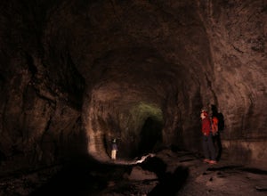
4.0As if erupting volcanoes weren't awesome enough, ancient lava flows also left behind these giant, hollow tubes as they cooled. Spend all day exploring deep underground in this 2.5 mile cave.To get there, head to the SOUTH side of Mount Saint Helens. You must pass through the town of Cougar to get...Read more -
Rhododendron, Oregon
Devil's Peak Lookout
3.02.62 mi / 600 ft gainThe Trail: This hike is one of the 2 routes that lead to the lookout, and the shorter of the two. It requires more driving to get to the trailhead than the other, but less walking, so if that sounds appealing to you, you have come to the right place! First, you'll be greeted by a dense forest w...Read more -
Cougar, Washington
Mount St. Helens Summit via Worm Flows
4.810.53 mi / 5725 ft gainThe Worm Flow Route, starting at Marble Mountain Sno Park, is the most direct winter route up to the summit. You'll start at around 2,700 feet and begin a steady walk along the trail for 2 miles. Although the trail is fairly well marked well above the snow, you'll want to pay attention to the arr...Read more -
Cougar, Washington
June Lake Loop via Pine Martin Trail
5.05.93 mi / 1079 ft gainIn the winter you will need to start at Marble Mt. Snowpark and purchase a snow park permit. The hike starts here on the eastern side. Follow the Pine Ski Trail for about 1 mile along NF-83 Road. Then follow the June Lake Trailhead up to June Lake for about 1.5 miles. You will come to June Lake a...Read more

