Carson, Washington
Looking for the best hiking in Carson? We've got you covered with the top trails, trips, hiking, backpacking, camping and more around Carson. The detailed guides, photos, and reviews are all submitted by the Outbound community.
Top Hiking Spots in and near Carson
-
Cougar, Washington
June Lake
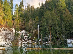
2.47 mi / 0 ft gainJune Lake, is a beautiful mountain lake located in Gifford Pinchot National Forest, Washington. The out-and-back trail starts at the June Lake Trailhead and parking area. This hike is family-friendly at just under 2.5 miles to June Lake. Dogs are permitted on the trail on their leash. This park...Read more -
Skamania County, Washington
Hike to the Summit of Mount Adams via South Climb
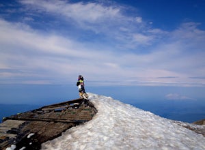
5.012 mi / 6700 ft gainStart by checking in at the Trout Lake Ranger station to pick up a Cascade Volcanoes pass for $10-$15. Continue the South Climb trailhead at the Cloud Cap Campground. Some hikers overnight here for an early start the next day.Sign out a wilderness permit at the trailhead and follow the South Clim...Read more -
Government Camp, Oregon
Veda Lake Trail
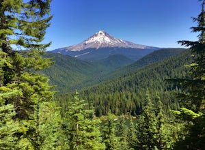
4.02.5 mi / 748 ft gainThis hike starts at the Fir Tree Trailhead and is an out and back 2.8 mile round trip. It's short, but there's 660 feet of elevation gain. To start, you climb steeply then it's an easy hike to a beautiful viewpoint overlooking the lake. The trail descends via switchbacks down to the lake for the ...Read more -
Cougar, Washington
Hike the Lava Canyon
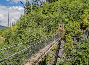
3.06.5 miStarting at the Lava Canyon Trailhead, you will walk on a paved trail down a few switchbacks until you reach the river, where you can go right or left. Either way takes you to the suspension bridge, but I recommend going right if you are following this guide. It will make more sense in a moment.A...Read more -
Cougar, Washington
Hike to Ape Canyon
9.6 mi / 1650 ft gainNot to be confused with the ever so popular Ape Caves, the Ape Canyon is a moderately challenging hike that remains above ground, climbing a total of 1650 feet in elevation parallel to the Muddy River. Although originally designed as a hiking trail, this route has become increasingly popular wit...Read more -
Cougar, Washington
Mount St. Helens Summit via Monitor Ridge
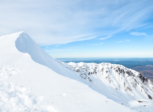
4.48.64 mi / 4652 ft gainMonitor Ridge is the "easiest" of the routes one can take in order to claim that they have stood on top of the sleeping giant better known as Mount St. Helens. This route is heavily favored over Worm Flows as the starting elevation is not only an additional 1,000 feet higher but the overall asce...Read more -
Ariel, Washington
Fly Fish Merrill Lake
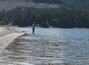
1 mi / 100 ft gainSurrounded by old growth forest, Merrill Lake near Cougar, Washington is the perfect little gem to get in some late summer, mid-elevation mountain lake fishing. The morning and evening hatches are known state wide for the size of fish they attract. There are stories of Eagles even stealing trout ...Read more -
Clackamas County, Oregon
Tumala (Squaw) Mountain
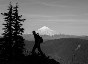
4.74.51 mi / 1099 ft gainOn a clear day, this short, secluded hike offers breath-taking views of Mt. St. Helens, Mt. Rainier, Mt. Adams, Mt. Hood, and Mt. Jefferson, as well as of downtown Portland, Coast Range, and the Roaring River Wilderness. Begin the hike from the Twin Springs Trailhead and immediately take your fi...Read more -
Centerville, Washington
Hike through Dalles Mountain Ranch
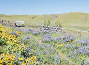
4.55 mi / 480 ft gainJust north of The Dalles lies a park most have never heard of despite it's astounding 3,338 acres in size... Columbia Hills Historical State Park. A large park comprised of many smaller ones, the outdoor lover may come here to enjoy kayaking or fishing on the 90 acre lake, rock climb the ragged o...Read more -
Portland, Oregon
Powell Butte Nature Park Loop
6.22 mi / 1004 ft gainBefore officially becoming a nature park in 1987, Powell Butte was primarily known for being home to four 50-million gallon underground reservoirs. Today, the wide expanse of land is packed with miles of trails-- the perfect place for hikers, mountain bikers, and even horseback riders to get thei...Read more -
Skamania County, Washington
Camp at Takhlakh Lake
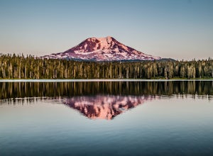
5.0Takhlakh Lake is located 7 miles NW of Mt Adams with a 53 site campground on the west side of the lake as well as a day use picnic area.The campground features a boat ramp and a wheelchair-accessible 1.1 mile flat trail, which encircles the lake, and accesses the Meadows Trail that climbs up to t...Read more -
Clackamas County, Oregon
Little Crater Lake to Timothy Lake Campground
3.42 mi / 338 ft gainLittle Crater Lake to Timothy Lake Campground is an out-and-back trail that takes you by a lake located near Government Camp, Oregon.Read more -
Portland, Oregon
Mount Tabor Loop
4.51.88 mi / 325 ft gainMount Tabor City Park is located in the heart of southeast Portland and is situated atop an extinct volcano. It’s comprised of more than 190 acres of beautiful Douglas Fir forest and features several relatively easy routes to the top: the easiest being the road you can drive (but what’s the fun i...Read more -
Skamania County, Washington
Climb Mount Adams North Cleaver Route
5.017 mi / 7800 ft gainMt Adams is the second tallest volcano in the Cascades and is one of the easiest to climb. There are two main nontechnical routes up Mt Adams, the well-known and crowded route on the south face, and the lesser traveled north cleaver route. The north cleaver offers solitude, views of Rainier, high...Read more -
Skamania County, Washington
Hike to Adams Glacier Meadows
7.5 mi / 1800 ft gainFor the most of the hike, the mountain is hidden behind the firs that surround the hiker as they gain elevation. Because of the dense forest the trail is remains in for most of the hike, it is nicely shaded and pleasant to wander through. At about 2 miles in, the trail leads the hiker into variou...Read more -
Skamania County, Washington
Hike to Norway Pass
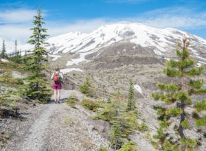
4.4 mi / 860 ft gainJust 96 miles south of Seattle, and 50 miles northeast of Portland, Mt. St. Helens and its wild, rugged beauty awaits you.Starting at the Norway Pass Trailhead parking lot, walk a dusty and sometimes ashy trail through recovering forest, low brush, wildflowers and blown down, sun bleached logs. T...Read more

