Baring, Washington
Top Spots in and near Baring
-
North Bend, Washington
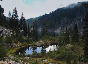
Gem Lake and Wright Mountain
4.710.62 mi / 3107 ft gainThe trail to Gem Lake lies along the same trail that passes by the incredibly popular Snow Lake. While the masses typically stop the first place they can along the shores of Snow Lake, fewer make the short trek from there up to Gem Lake. Park at the giant lots at the end of the road to Alpental (...Read more -
North Bend, Washington
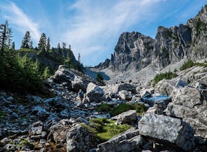
Climb the South Face of The Tooth
5.0The Tooth is a relatively easy multi-pitch trad route within spitting distance of Seattle. It is rated 5.5, although 3 of the 4 pitches are rated 5.2-5.3. It is a great day trip into the Cascades. The rock quality is fantastic.Despite the exposure inherent in any multi-pitch, The Tooth has rappel...Read more -
North Bend, Washington
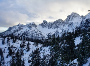
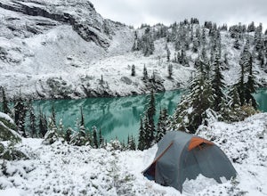
Winter Camping at Snow Lake
7.2 mi / 1800 ft gainStarting at the Snow Lake Trail Head you climb up the boot pack or ski track of those before you (hopefully) from ~3120 ft. to ~4400 ft. at the ridge line where Snow Lake becomes visible. If there are no tracks, follow the South Fork Snoqualmie River NE and aim just east of the lowest point of t...Read more -
North Bend, Washington
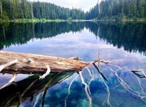
Upper Wildcat Lake
1.014.43 mi / 4370 ft gainAlthough this hike is possible if you’re looking for an all-day training hike, it’s much more enjoyable if it’s an overnight backpacking trip. Head up the trail past Snow Lake toward Gem Lake. En route to Snow Lake will be a little crowded, but should lighten significantly as you continue hiking...Read more -
North Bend, Washington
Mailbox Peak New Trail
4.210.53 mi / 4127 ft gain*Disclaimer this article is in regards to the newly built trail.* For the old trail, head to Hike Mailbox Peak. Just off of exit 34, Mailbox Peak offers a birds-eye view of the surrounding area. This hike begins at a mere 800 ft. above sea level and by the time you are done you are nearly touch...Read more -
North Bend, Washington
Mailbox Peak Old Trail
4.44.96 mi / 3898 ft gainNote this adventure covers the old route. For the updated route, check out Hike Mailbox Peak New Trail. Take exit 34 from I-90. Head north on 468th Ave SE until the intersection with the SE Middle Fork Road. Turn right onto the Middle Fork Road. Follow SE Middle Fork Road 2.2 miles to the stop ...Read more -
Darrington, Washington
Climb Sloan Peak via the Corkscrew Route
5.014 mi / 6035 ft gainYou'll start the approach to this climb at the Sloan Peak trailhead at 1800ft elevation. Moving south along the trail, you'll begin with a traverse through some marshlands and several water crossings along the Sauk River and its tributaries for the first mile and before gaining any elevation. It ...Read more -
North Bend, Washington
Little Si
3.64.01 mi / 1250 ft gainLittle Si, neighbor to the bigger Mount Si is a decent hike for beginners and families with younger children. It is 4.7 miles round trip (including Boulder Garden Loop - 1.5 miles) gaining 1300ft in elevation - Discover Pass required. This trail is very popular, so if you want seclusion avoid thi...Read more -
North Bend, Washington
Drive Along the Middle Fork Snoqualmie River
5.0Some days you don't need to tackle a grueling summit or long mileage loop, just getting outside the city is enough. Driving forest roads is always an adventure and pays its dividend in seclusion, viewpoints, and peacefulness. The Middle Fork Snoqualmie (FR56) offers a photo enthusiast numerous pi...Read more -
Granite Falls, Washington
North Lake via Independence Lake
5.56 mi / 2431 ft gainNorth Lake is everything you could want in a subalpine lake: emerald green hues, cold, clear water, lots of brook trout and far from cell-phone reception. This backpack is perfect when the weather gets hot and sunny, though it does reside in what is known as “the wettest section of the Cascades,...Read more -
Ronald, Washington
Winter Backpack to Jade Lake
4.022 mi / 4000 ft gainStarting at the Hyas Lake trailhead north of Cle Elum, it's a meandering easy hike through the woods for about 5.0 miles up to Deception Pass. You gain 1100 feet through this first five miles to the junction with the PCT. From here take a left to continue on the Lake Clarice Trail towards Marmot...Read more -
Ronald, Washington
Hike to Dip Top Gap
25 mi / 5000 ft gainThis is a great side trip from Backpacking to Marmot & Jade Lakes. Check out the Adventure linked above for directions on how to get as far as Jade Lake. I would recommend 2 nights at either Marmot or Jade to allow for a full day of exploration from your camp. From Jade what is described be...Read more -
Ronald, Washington
Trail Run to Robin Lakes
17 mi / 4100 ft gainStarting Elevation: 3400 Feet Ending Elevation: 6178 Feet Round Trip Run: 17 Miles Total Elevation Gained for the Day: 4100 FeetIt's best to drive to the trailhead the night before and camp out (I slept in my Jeep to get an early start on the next morning). The parking lots are jammed full on the...Read more -
Ronald, Washington
Backpack to Circle Lake, Alpine Lakes Wilderness
16 mi / 2800 ft gainStart at the Cathedral Rock Trailhead and start to head up the long switchbacks. After running into the Trail Creek trail, keep right heading towards Cathedral Rock and Squaw Lake. There are a couple nice spots around Squaw Lake, about 2.5 miles in, to stop and have a snack. Now head around the l...Read more -
Ronald, Washington
Climb Mt. Daniel via the Southeast Ridge
5.016 mi / 6000 ft gainFar from the iconic skyline of Seattle, on King County's Eastern boundary, is a lesser known natural skyscraper named Mt. Daniel. At 7960 feet plus, Mt. Daniel's true summit effortlessly juts into the sky as King County's tallest point.From Roslyn, head North for roughly 15 miles on Salmon La Sac...Read more -
Ronald, Washington
Marmot and Jade Lakes via Deception Pass Trail
5.020.29 mi / 4370 ft gainThe road in is passable with basically any vehicle, though there are some potholes to be avoided. Start at the Deception Pass Trailhead near the parking lot. There is a quick and easy 4.5 miles as you pass Hyas Lake, then you start climbing up to the trail junction for Tuck and Robin Lakes and th...Read more

