West Point, Virginia
Looking for the best hiking in West Point? We've got you covered with the top trails, trips, hiking, backpacking, camping and more around West Point. The detailed guides, photos, and reviews are all submitted by the Outbound community.
Top Hiking Spots in and near West Point
-
Williamsburg, Virginia
Hike the Riverview Trail
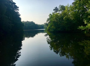
4.07.5 mi / 150 ft gainFrom the parking area at the visitor center, pick up the Backbone Trail marked with gold blazes. The trails are well marked with signage and arrows. Follow the Backbone Trail for 2 miles under you reach the trail junction of Powhatan Forks Trail. After a half mile the this trail splits with th...Read more -
Williamsburg, Virginia
Waller Mill Reservoir & Tower Trail
4.02.64 mi / 213 ft gainWaller Mill Reservoir & Tower Trail is a loop trail that takes you by a lake located near Williamsburg, Virginia.Read more -
Williamsburg, Virginia
Bike Jamestown Island
5.1 mi / 45 ft gainThe trail is open to cyclists and pedestrians, but does share the road with some vehicle traffic. The speed limit is slow and often there is little traffic. There also is no parking at the actual trail head, so one must begin at the Visitor Center Parking lot. The trail will show off the natural ...Read more -
Yorktown, Virginia
Hike through Historic Yorktown
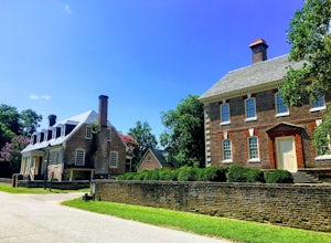
5.02.5 mi / 59 ft gainThis is a fantastic hike through the history of the early United States. And one with many interactive exhibits and recreation opportunities. From the Visitor Center, head onto the path towards the Yorktown Historic District. The historic district begins at the Dudley Digges House. Buildings that...Read more -
Newport News, Virginia
Hike Noland Loop Trail
4.84.8 mi / 154 ft gainGreat hike right in the city of Newport News. It is a loop trail that is 4.8 miles and has a moderate level of traffic. Easy, good for all skill levels Pet friendly Water and wooded views with lots of shade throughoutClearly marked trail No bikesParking at Mariners Museum and at Lions Bridge; ...Read more -
Richmond, Virginia
Walk the Bryan Park Azalea Gardens
3.01 mi / 0 ft gainA short distance from downtown Richmond, this park contains over 450,000 azalea plants in 76 different beds that are usually in peak bloom around mid-April every year. When the plants are in full bloom, you can drive (or walk) the 1 mile loop and there are various places to park and get out and w...Read more -
Chesterfield, Virginia
Co-op Trail
4.04.03 mi / 574 ft gainCo-op Trail is a loop trail that takes you by a lake located near Chesterfield County, Virginia.Read more -
Chesterfield, Virginia
Walk around Beaver Lake, Pocahontas SP
5.02.47 mi / 175 ft gainThe trail passes by an old furnace and then descends until you reach the lake. At the lake there is a nice pier to view the water and do some bird watching. Continue on the trail around the lake. If you head clockwise, the lake will be in view during most of the beginning of the trail.As you make...Read more -
Scotland, Maryland
Explore Point Lookout State Park
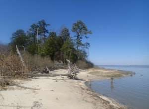
4.50.5 miPoint Lookout State Park is at the southern most tip of the joining of the Chesapeake Bay and the Potomac River in St. Mary's County, Maryland. The park offers many activities such as fishing, canoeing, boat launch, camping and lounging at the beach. When you arrive, there are multiple places t...Read more

