Stanardsville, Virginia
Top Spots in and near Stanardsville
-
Front Royal, Virginia
Explore Skyline Drive In Winter
4.5Skyline Drive is a winding highway that cuts straight through Shenandoah National Park. Being that we are in the south, you will find that the road is closed for the majority of the winter, and usually at the very mention of snow. The first few years of living here it was incredibly frustrating...Read more -
Hinton, Virginia
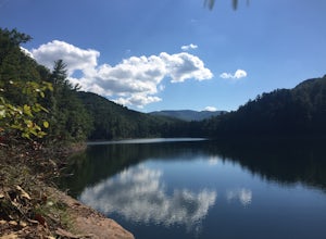
Camp at Switzer Lake
3.92 miDirectly off of Interstate 81, headed toward West Virginia on Rt 33 is a beautiful lake only known by the locals. Switzer Lake, named because Switzer Dam was placed on the Dry River years ago to aid Harrisonburg and the surrounding area with its increased need for drinking water. The lake is seld...Read more -
Hinton, Virginia
Fly Fish at Switzer Lake
Switzer Lake is a great spot outside of Harrisonburg, Virginia for fly fishing during the spring, summer, and fall. The lake is pretty decently sized, so you shouldn't have any problems finding a place along the shores to wade out and cast. Small boats are also allowed on the lake as well. Make s...Read more -
Vesuvius, Virginia
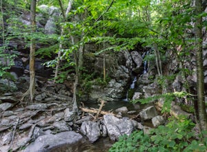
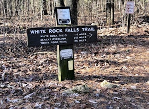
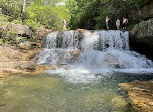
Hike to White Rock Falls
3.52.4 miPark in The Slacks Overlook parking lot on the Blue Ridge Parkway, around milepost 20. From there exit the parking lot back onto the road and head left. About 300 feet from the parking lot there is the trail entrance. It isn't too hard to find if you are looking for it, but there aren't any marki...Read more -
37.8962002590409,-79.0456008911133, Virginia
White Rock Falls Trail
4.02.82 mi / 558 ft gainWhite Rock Falls Trail is an out-and-back trail that takes you by a waterfall located near Montebello, Virginia.Read more -
Vesuvius, Virginia
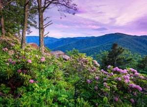
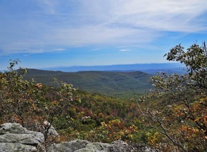
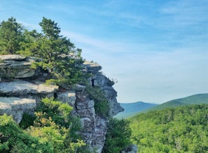
Photograph 20 Minute Cliff Overlook
4.5Located at mile marker 19 along the Blue Ridge Parkway, 20 Minute Cliff Overlook is super easy to access and has an amazing 180 degree panoramic view. Looking West over the Blue Ridge Mountains, this 2,715 foot overlook has a great view of the Priest to the South, Maintop Mountain and Fork Mounta...Read more -
Front Royal, Virginia
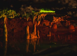
Explore Skyline Caverns
Skyline Caverns is located right off Stonewall Jackson Highway with plenty of parking. The cave tour is about 60 minutes with little walking and minimal elevation gain. If you time it right you and your friends can get the whole tour to yourselves. The backstory the tour guide gives you, is inte...Read more -
Lovingston, Virginia
Fortune's Cove Via Yellow Trail
3.05.02 mi / 1486 ft gainFortune's Cove via Yellow Trail is a loop trail where you may see beautiful wildflowers located near Lovingston, Virginia.Read more -
Orkney Springs, Virginia
Hike Laurel Run
6.6 mi / 2100 ft gainThere are two parking spots for this trail. Park at the lower lot if the gate is closed, if the gate is open, continue up the road for another mile until you reach another closed gate. Park here. If the gate is closed you will need to hike a mile up the road to get to the trail head.From the seco...Read more -
Brandywine, West Virginia
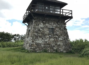
High Knob Tower Trail
4.52.46 mi / 630 ft gainHigh Knob Tower Trail is an out-and-back trail that takes you through a nice forest located near Brandywine, West Virginia.Read more -
Wardensville, West Virginia
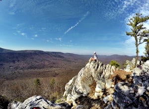
Hike Big Schloss
5.04.2 mi / 1000 ft gainBig Schloss (the German word for “palace”) is a popular hike in the George Washington National Forest. The trailhead is conveniently located at the Wolf Gap Campground. To begin, follow the path behind the restrooms at the parking lot. Cross the paved road where you will find a trail map with ...Read more -
Wardensville, West Virginia
Tibbet Knob via Wolf Gap
5.03.17 mi / 702 ft gainPark for free at Wolf Gap Campground and cross the road where you will pass some picnic tables and campsites. Follow the signs to the yellow-blazed Tibbet Knob trail. In half a mile, there is a little path to a summit on your left where you can catch a glimpse of Mill Mountain and Big Schloss. ...Read more -
Wardensville, West Virginia
Camp at Wolf Gap
5.0Wolf Gap is a FREE year round campground located just outside of Woodstock, VA. It is a great base camp for several scenic hikes like the Tibbet Knob trail (trailhead is just across the road) and the popular Big Schloss trail (trailhead begins at campsite number 9) -- super convenient if you hav...Read more -
Wardensville, West Virginia
Big Schloss via Wolf Gap Trail
5.04.27 mi / 997 ft gainBig Schloss via Wolf Gap Trail is an out-and-back trail that takes you by a river located near Lost City, West Virginia.Read more -
Raphine, Virginia
Saint Mary's Wilderness
4.56.03 mi / 538 ft gainSaint Mary's Wilderness is an out-and-back trail that takes you by a waterfall located near Vesuvius, Virginia.Read more -
Raphine, Virginia
Hike to Saint Mary's Falls
4.84.4 mi / 300 ft gainSaint Mary's Wilderness is one of Virginia's largest designated wilderness areas and is an old iron ore mining area. There are two ways to get to Saint Mary's Falls and this Blue Ridge adventure will start you off at the parking area off Saint Mary's Road. Once on Saint Mary's Road, you will dr...Read more


