Natural Bridge Station, Virginia
Looking for the best hiking in Natural Bridge Station? We've got you covered with the top trails, trips, hiking, backpacking, camping and more around Natural Bridge Station. The detailed guides, photos, and reviews are all submitted by the Outbound community.
Top Hiking Spots in and near Natural Bridge Station
-
Lovingston, Virginia
Fortune's Cove Via Yellow Trail
3.05.02 mi / 1486 ft gainFortune's Cove via Yellow Trail is a loop trail where you may see beautiful wildflowers located near Lovingston, Virginia.Read more -
Roanoke, Virginia
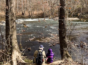
Hike along the River Walk Trail in Roanoke's Explore Park
3.01.5 miStarting at a great spot to picnic, fish, or put in a kayak, this casual hike meanders along the Roanoke River. Along the trail you can enjoy views of some small river rapids and the beautiful trees surrounding along the river.The trail begins at a parking lot at the end of Rutrough Road. There ...Read more -
Lyndhurst, Virginia
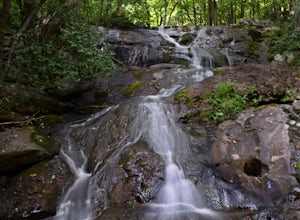
Hike to Shamokin Falls
4.42.2 mi / 950 ft gainStarting from the Dripping Rock Parking area at MP 10 on the Blue Ridge Parkway, head north on the white blazed Appalachian Trail (trail leading into woods from parking lot- don't cross the road). In about 20 steps the trail splits- go right. In another 20 steps or so the trail splits again but t...Read more -
Hot Springs, Virginia
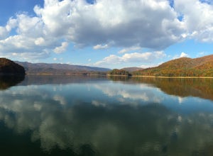
Backpack around Lake Moomaw
5.06.6 mi / 1200 ft gainOn your way to the trailhead don't forget to pull off the road at the scenic outlook to take in the vast expanse of Lake Moomaw (you won't miss it!).Start off your adventure by parking at the end of Twin Ridge Drive (37.976545, -79.985582). From this point, hike down the little paved driveway int...Read more -
Salem, Virginia
McAfee Knob
4.77.79 mi / 1296 ft gainIntro McAfee Knob is one of the most photographed and picturesque locations along the Appalachian Trail. Once you reach McAfee Knob, you'll have almost 270 degree views of the the Roanoke Valley to the East, Catawba Valley and North Mountain to the West, and Tinker Cliffs to the North. Due to t...Read more -
Afton, Virginia
Humpback Rocks
4.61.73 mi / 833 ft gainThis little hike is one of the most popular in the area, and for good reason! It's a short and steep one mile to the top, but the views of the Blue Ridge Mountains and Shenandoah National Park to the east, are some of the best around. It's somewhat of a tradition for students from the Universit...Read more -
Catawba, Virginia
Virginia Triple Crown
5.029.24 mi / 5531 ft gainThe Virginia Triple Crown is a combination of three of the most spectacular and popular hikes in the region. It combines the Dragon’s Tooth, McAfee’s Knob, and Tinker Cliffs hikes into one long multi-day hike along the Appalachian Trail. It makes for an excellent 2 day backpacking trip, with many...Read more -
Catawba, Virginia
Dragon's Tooth Trail
4.94.44 mi / 1394 ft gainFrom I-81: Exit 140 and take Highway 311 north for 11 miles towards New Castle. Dragon’s Tooth parking lot is on the left, just past Catawba Grocery. LAT 37.3787 LONG -80.1563 Ready to tackle the Dragon? This 4.6 mile, out and back, trail provides one with a true hiking experience. The hike wil...Read more

