Millboro, Virginia
Looking for the best photography in Millboro? We've got you covered with the top trails, trips, hiking, backpacking, camping and more around Millboro. The detailed guides, photos, and reviews are all submitted by the Outbound community.
Top Photography Spots in and near Millboro
-
Buchanan, Virginia
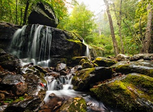
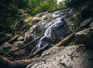
Hike to Apple Orchard Falls
4.05.6 mi / 1000 ft gainThere are a few different ways that you can do this hike. One way is to start at the North Creek campground (37.54244, -79.58531) and do a loop hike that's about 6 miles, which will take you to the falls up along a stream with some swimming holes and nice campsites. I did it the other way, which ...Read more -
Lyndhurst, Virginia
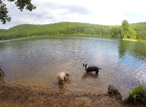
Camp at Sherando Lake
4.0Sherando Lake is a beautifully maintained dog/family friendly campground situated between two lakes. Upper Sherando Lake is available for fishing only but the larger, 25 acre, Lower Sherando Lake offers swimming, fishing, kayaking, and relaxing on the beach. The campground is divided into three ...Read more -
Roseland, Virginia
Backpack Reeds Gap to Rockfish Gap
5.020 miNote: We usually get a chance to take this trip in the summer, so please pay attention to the weather and pack accordingly. This description is for a July/August hike and the temperatures were in the 80s during the day and 60s at night. During this time of year rain showers are always a possibili...Read more -
Lyndhurst, Virginia
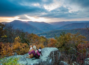
Backpack Three Ridges Loop
4.614.2 mi / 3960 ft gainFrom the parking area at Reids Gap, start off on the white-blazed A.T heading south as the trail begins on the left side of a clearing. You will begin climbing Meadow Mountain shortly and in .8 miles arrive at the top of the ridge, where you will continue on downhill for another .8 miles until y...Read more -
Buchanan, Virginia
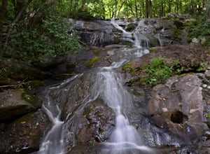
Hike to Fallingwater Cascades
4.5The trailhead for this hike is at the same parking area for the Flat Top Trail. From the Peaks of Otter Visitor Center, travel north up the Blue Ridge Parkway for about 3 miles, where you will come to small parking area. It is quite tiny, and probably holds around 10 vehicles, but there was only ...Read more -
Buchanan, Virginia
Hike Flat Top Mountain
4.5From the Peaks of Otter Visitor Center, travel north up the Blue Ridge Parkway for about 3 miles, where you will come to small parking area for the Flat Top Trailhead. The parking area is quite tiny, and probably holds around 10 vehicles, but there was only one other car there when I went. It's p...Read more -
Roseland, Virginia
Photograph Devils Knob Overlook
4.5Located next to Wintergreen Resort, Devils Knob is super easy to get to and has an amazing 180 degree panoramic view. Looking Southwest over the Blue Ridge Mountains and the Blue Ridge Parkway, this 3,800 foot overlook had a great view of Three Ridge Mountain and the Priest. Located on Devils Kno...Read more -
Lyndhurst, Virginia
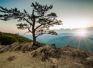
Explore Ravens Roost Overlook
4.5This cozy little overlook is very simple to get to. If you are coming from I 64, after taking exit 99 towards Shenandoah National Park, turn right onto the Blue Ridge Parkway when the exit comes to a "T-stop". From there, it's 10 miles down the Parkway on your right. You will see a clearly marke...Read more -
Lyndhurst, Virginia
Hike to Shamokin Falls
4.42.2 mi / 950 ft gainStarting from the Dripping Rock Parking area at MP 10 on the Blue Ridge Parkway, head north on the white blazed Appalachian Trail (trail leading into woods from parking lot- don't cross the road). In about 20 steps the trail splits- go right. In another 20 steps or so the trail splits again but t...Read more -
Bedford, Virginia
Sharp Top Trail
4.72.91 mi / 1296 ft gainOnce thought to be the highest peak in Virginia, this 2.5 hour hike is one that will leave you speechless at the top. Park at the Peaks of Otter Nature Center (which is now closed). The trailhead is located to the right of the building. You will cross over a paved bus road soon after beginning th...Read more -
Renick, West Virginia
Explore Beartown State Park
4.30.6 mi / 50 ft gainFrom Rt. 219 about 7 miles south of Hillsboro, West Virginia, there are well-marked signs for Beartown State Park. This narrow road winds about a mile until the small parking area for the state park. The boardwalk trail starts to the left of the bathrooms, and it is encouraged to walk the trail...Read more -
Hillsboro, West Virginia
Hike High Rocks
5.03.1 mi / 376 ft gainTo reach High Rocks trailhead, drive about 3.3 miles along West Virginia’s Highland Scenic Highway (HW150) from Cranberry Mountain Nature Center. The parking lot and trailhead will be on the right side of the road. The High Rocks trail is 3.1 miles out and back and is fairly flat as it follows a ...Read more -
Roseland, Virginia
Camp at Devil’s Backbone Basecamp
5.0This place has it all : a bomb fire pit, live music, distillery, restaurant, 48 taps, mountain views, and more! Not to mention, it’s in a great location for exploring. It’s close to tons of breweries, wineries, and cideries, it’s just a few miles from the Appalachian trail, and close to Shenando...Read more -
Afton, Virginia
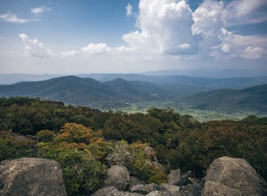
Humpback Rocks
4.61.73 mi / 833 ft gainThis little hike is one of the most popular in the area, and for good reason! It's a short and steep one mile to the top, but the views of the Blue Ridge Mountains and Shenandoah National Park to the east, are some of the best around. It's somewhat of a tradition for students from the Universit...Read more -
Hillsboro, West Virginia
Williams River Overlook
This scenic overlook is along the Highland Scenic Highway. The highway runs through the Monongahela National Forest. The overlook has an amazing view and is a great area to explore. There are two trails that lead off from the overlook and they have a gorgeous spruce forests.Read more -
Hillsboro, West Virginia
Walk Around the Cranberry Glades, Monongahela NF
4.80.6 mi / 0 ft gainFrom the parking lot, the boardwalk trail breaks off of the right side of the lot. The boardwalk loop should be done in a clockwise direction and there are signs to direct you. The 1/2 mile boardwalk offers great views of the surrounding bog and mountains. The boardwalk itself is skirted by fe...Read more

