Millboro, Virginia
Looking for the best photography in Millboro? We've got you covered with the top trails, trips, hiking, backpacking, camping and more around Millboro. The detailed guides, photos, and reviews are all submitted by the Outbound community.
Top Photography Spots in and near Millboro
-
Marlinton, West Virginia
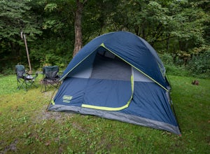
Camp at Day Run Campground
5.0Located in West Virginia’s Monongahela National Forest about half way between Snowshoe and the Cranberry Glades makes this campground an ideal place to set up a base camp while you explore the surrounding area. It is located about five miles from Highland Scenic Highway (HW150), which makes it ju...Read more -
Marlinton, West Virginia
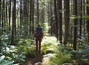
Cranberry Wilderness North South Loop Trail
17.1 mi / 1617 ft gainThe Cranberry Wilderness is lesser known, but if you're looking for a rugged escape, this is it. Be mindful of your water intake, as there are a few stretches upwards of 6-8 miles where there is no access to fresh water. Those areas are well-known in most of the hiking blogs/guides (I'd recommend...Read more -
Troutville, Virginia
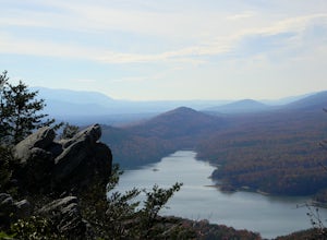
Tinker Cliffs via Andy Lane Trail
4.87.15 mi / 1844 ft gainLooking for a day trip? Look no further than Tinker Cliffs, tucked away in Virginia. This trail provides a workout that is loaded with flowers, bridges, rocks, and views that will leave you inspired to explore more! The Trail There are no restrooms located at the parking lot or along the trail....Read more -
Hillsboro, West Virginia
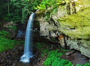
Hike the Falls of Hills Creek, Monongahela NF
5.01.8 mi / 300 ft gainFrom the parking lot, the paved handicap-accessible trail switchbacks to a view of the upper falls (20'). The falls are a bit hard to see from the viewpoint, so it's best to continue down the trail. At the upper falls the trail changes to wooden stairs that descend gradually down. You will cross...Read more -
Daleville, Virginia
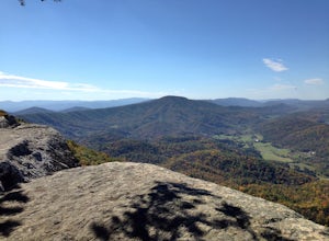
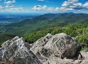
Hay Rock
4.67.48 mi / 1276 ft gainIf you're looking for a hike in the Roanoke area without the crowds that McAfee Knob draws, but still want a challenging hike with great views, try hiking to Hay Rock. This 7.5 mile round trip hike begins at the Park and Ride just off I-81 at the US-220 Troutville/Fincastle exit (150B). The gra...Read more -
Blue Ridge, Virginia
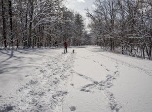
Snowshoe the Blue Ridge Parkway
3.3We don't get a ton of snow here in Virginia, but when we do, the Blue Ridge Parkway can be a great place to get out and enjoy a day of snowshoeing or cross country skiing. It's also a great opportunity to get your pup out and let him work out some energy as the chances of running into anyone are ...Read more -
Roanoke, Virginia
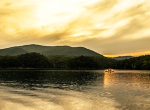
Canoe or Kayak at Carvins Cove
5.0Part of the attraction to the Cove is that you can literally leave work at 5pm and be in the water paddling in plenty of time to catch the sunset. Catching a sunrise is slightly more difficult just because the boat landing doesn't open until 6:30am. However, it's still possible to paddle out and ...Read more -
Crozet, Virginia
Hike Turk Mountain
4.02.2 mi / 700 ft gainFrom the parking area at Turk Gap (MP 94.1), cross over the Skyline Drive. The Appalachian Trail (AT) intersects right here, and take the AT south by taking the trail on the left. After 0.2 miles you will turn right off of the AT onto the blue-blazed Turk Mountain Trail. The trail junctions me...Read more -
Grottoes, Virginia
Photograph Moormans River Overlook
5.0Moormans River Overlook is one of the few eastern facing overlooks in Shenandoah National Park’s Southern District, which makes this a prime location for watching the sun rise when in this part of the park. At mile post 92 off of Skyline Drive, Moormans River Overlook offers photographers a 180 ...Read more -
Hinton, Virginia
Camp at Switzer Lake
3.92 miDirectly off of Interstate 81, headed toward West Virginia on Rt 33 is a beautiful lake only known by the locals. Switzer Lake, named because Switzer Dam was placed on the Dry River years ago to aid Harrisonburg and the surrounding area with its increased need for drinking water. The lake is seld...Read more -
Crozet, Virginia
Hike Moorman's River
4.52.5 miAlong the hike, there are four "official" swimming holes to jump in, but you can make your own at any time. Go in the springtime for a great waterfall at the end the feeds into a swimming hole, and in the fall for a wonderland of foliage. The official name of this hike is Moorman's River, but an...Read more -
Crozet, Virginia
Photograph Charlottesville Reservoir
4.7The reservoir is located in the Piedmont Hills just outside the city of Charlottesville, Virginia. So technically Charlottesville Reservoir is not in Shenandoah National Park, but it is only a few feet outside of the park, and it has an outstanding view of the Blue Ridge Mountains that make up th...Read more -
Salem, Virginia
McAfee Knob
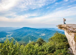
4.77.79 mi / 1296 ft gainIntro McAfee Knob is one of the most photographed and picturesque locations along the Appalachian Trail. Once you reach McAfee Knob, you'll have almost 270 degree views of the the Roanoke Valley to the East, Catawba Valley and North Mountain to the West, and Tinker Cliffs to the North. Due to t...Read more

