Draper, Virginia
Looking for the best hiking in Draper? We've got you covered with the top trails, trips, hiking, backpacking, camping and more around Draper. The detailed guides, photos, and reviews are all submitted by the Outbound community.
Top Hiking Spots in and near Draper
-
Pembroke, Virginia
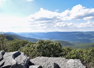
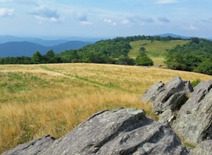
Hike to Wind Rock
4.70.5 mi / 400 ft gainAt the parking lot cross the gravel road to the trail head that starts at a map posted on the edge of the road. Hike a quick quarter-mile where you'll turn left to a large rocky outcrop with views of the blueridge. You'll pass a campsite with fire ring before the rocky outcrop and overlook. I've ...Read more -
Newport, Virginia
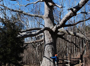
Hike to the Keffer Oak on the Appalachian Trail
4.32.6 mi / 600 ft gainYou can park your car at the small gravel lot where VA-42 and Rt. 629 intersect. Starting from the Appalachian Trail crossing at VA-42, head north on the AT, which winds through some grass meadows. After about 0.8 miles into the hike you will cross Rt. 630 (Northside Road) on a bridge over Sinki...Read more -
Princeton, West Virginia
White Oak Falls via Brush Creek Falls Trail
3.69 mi / 574 ft gainThis is a wonderfully easy hike to White Oak Falls. After visiting Bush Creek Falls, keep walking down the trail. You'll enter the Bush Creek Nature Preserve area. If you visit after heavy rains, please note that your feet will get wet. There are numerous cascades that come down and cross over t...Read more -
Princeton, West Virginia
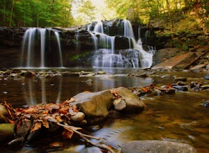
Brush Creek Falls
4.50.5 mi / 75 ft gainBrush Creek Falls is a beautiful 25' waterfall that spans across Brush Creek. It is accessed via a short 0.5 mile hike with minimal elevation gain. From the parking area on Brush Creek Falls Road, take the trail to the right of the picnic shelter. This easy and relatively-flat trail through rhod...Read more -
Marion, Virginia
Hike the Lake Trail Loop at Hungry Mother SP
6 mi / 800 ft gainHungry Mother State Park is located in the picturesque Blue Ridge Mountains in Southern Virginia. Located inside the state park is the Lake Trail Loop that winds itself around the man-made reservoir and the park. Hikers can access the trail in numerous locations throughout the park but the easies...Read more -
Marion, Virginia
Hike Molly's Knob
5.03.4 mi / 1100 ft gainThe parking lot is located on the east side of the lake, just before the group lodge on Lake Drive. The Molly’s Knob trail begins just uphill on the right and is marked by white blazes. You can also take an alternate route and follow the Lake Loop Trail (located to the left of the parking area)...Read more -
Traphill, North Carolina
Hike the Stone Mountain Loop
4.5This is a strenuous 4.5 mile hike beginning from the Lower Parking Lot in Stone Mountain State Park (for a 5.2 mile hike, begin at the Upper Parking Lot). From the lot, take the trail by the bathroom. Keep right at the first trail intersection, then left at the second trail intersection to stay ...Read more -
Traphill, North Carolina
Hike to Wolf Rock and Cedar Rock
5.0This easy 3.0 mile hike begins at the Lower Trailhead Parking Lot at Stone Mountain State Park and includes a 400' ascent to two granite outcrops with nice views. This hike can be combined with the Stone Mountain Loop hike for a 6.5 mile strenuous hike.From the parking lot, walk towards the strea...Read more -
Sparta, North Carolina
Hike the Bluff Mountain Trail
1.8 mi / 270 ft gainBefore you head out, check the status of the Blue Ridge Parkway (it periodically closes during the winter). The entire Bluff Mountain Trail is a 7.1 mile trail that traverses the Doughton Park Area along the Blue Ridge Parkway. To do this particular hike, park at the bathrooms in the Doughton P...Read more -
Waiteville, West Virginia
Hanging Rock Raptor Observatory
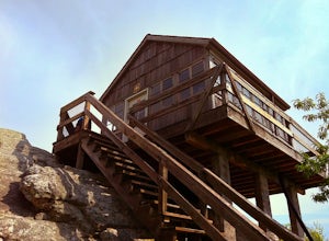
4.81.93 mi / 381 ft gainLocated on Limestone Hill Road north of Waiteville, WV at about 3800 feet above sea level is an old Fire watch tower. The tower, built in 1956 was abandoned in 1972. In 1983 the US Forest Department acquired this area as part of the Jefferson National Forest. Since then the Tower has become know...Read more -
Mouth of Wilson, Virginia
Stamper's Branch Trail
3.37 mi / 781 ft gainStamper's Branch Trail is an out-and-back trail that provides a good opportunity to view wildlife located near Mouth of Wilson, Virginia.Read more -
Hays, North Carolina
Hike along Basin Creek in Doughton Park
5.011 mi / 1800 ft gainA treasure in North Carolina that doesn't get as much attention as it should, Doughton Park has some of the best trails around. It is the largest park operated by the Blue Ridge Parkway and has over 30 miles of trails available. The parking area for the Basin Creek Trail is small, but rarely cro...Read more -
Mouth of Wilson, Virginia
Mount Rogers via Appalachian Trail
5.09.1 mi / 1549 ft gainFirst of all, who doesn't love wild ponies! There are tons of ponies here, and although they are wild, they are not afraid of people and you can get pretty close (just don't feed them!). Once you enter Grayson Highlands State Park, you will see a parking lot for Massie Gap a few miles in, par...Read more -
Mouth of Wilson, Virginia
Backpack the Grayson Highlands
4.89.1 mi / 1549 ft gainSpanning roughly 4500 acres, located in a portion of Jefferson National Forest, looming under the highest peak in Virginia lies the Grayson Highlands. A part of Virginia’s State Parks system and a United States National Landmark, located in Mouth of Wilson, Virginia, the Highlands are home to wil...Read more -
Mouth of Wilson, Virginia
Twin Pinnacles Loop
5.01.35 mi / 157 ft gainPark at the Visitor Center; don't stress when you get to the parking lot and can't see it, it's up the hill. From the parking lot hike across the road and find the staircase. Follow this up to the Visitor Center. If you're standing in front of the Visitor Center, the trailhead will be to the left...Read more -
Mouth of Wilson, Virginia
Photograph Wild Horses at Grayson Highlands State Park
4.61.8 mi / 306 ft gainThe wild horses gather on top of the bald at the end of Horse Trail North located in Grayson Highlands State Park. Because they are wild, it is important to remember not to touch or feed the horses. The horses are accustomed to hikers and will allow you in their near proximity, but bring a zoom l...Read more

