Buchanan, Virginia
Looking for the best hiking in Buchanan? We've got you covered with the top trails, trips, hiking, backpacking, camping and more around Buchanan. The detailed guides, photos, and reviews are all submitted by the Outbound community.
Top Hiking Spots in and near Buchanan
-
Newport, Virginia
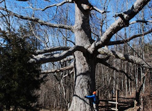
Hike to the Keffer Oak on the Appalachian Trail
4.32.6 mi / 600 ft gainYou can park your car at the small gravel lot where VA-42 and Rt. 629 intersect. Starting from the Appalachian Trail crossing at VA-42, head north on the AT, which winds through some grass meadows. After about 0.8 miles into the hike you will cross Rt. 630 (Northside Road) on a bridge over Sinki...Read more -
Waiteville, West Virginia
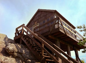
Hanging Rock Raptor Observatory
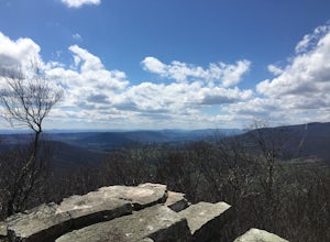
4.81.93 mi / 381 ft gainLocated on Limestone Hill Road north of Waiteville, WV at about 3800 feet above sea level is an old Fire watch tower. The tower, built in 1956 was abandoned in 1972. In 1983 the US Forest Department acquired this area as part of the Jefferson National Forest. Since then the Tower has become know...Read more -
37.8962002590409,-79.0456008911133, Virginia
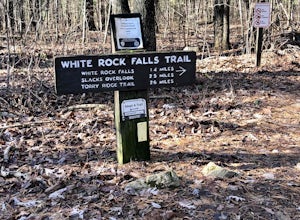
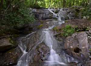
White Rock Falls Trail
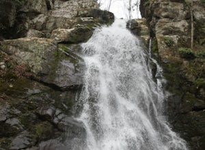
4.02.82 mi / 558 ft gainWhite Rock Falls Trail is an out-and-back trail that takes you by a waterfall located near Montebello, Virginia.Read more -
Vesuvius, Virginia
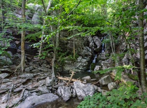
Hike to White Rock Falls
3.52.4 miPark in The Slacks Overlook parking lot on the Blue Ridge Parkway, around milepost 20. From there exit the parking lot back onto the road and head left. About 300 feet from the parking lot there is the trail entrance. It isn't too hard to find if you are looking for it, but there aren't any marki...Read more -
Shawsville, Virginia
Hike to Stiles Falls
4.83 mi / 500 ft gainPark at the Alta Mons camp parking lot, and start walking the gravel road. There will be signs throughout the trail that lead to the waterfall. Continue down the trail for 1.5 miles. Look out for the white trail markers that indicate the Stiles Falls trail. After 1.5 miles, you will reach the wat...Read more -
Craig County, Virginia
Hike to Kelly's Knob via the Appalachian Trail
4.34 mi / 500 ft gainThis is a great day hike for families or groups looking to get out for a short hike on the Appalachian Trail in Jefferson National Forest.From 460W Take Blue Grass Trail Rd then a left onto Clover Hollow Rd/State Route 601. Continue on this for 6.7 miles until you reaches an intersection with the...Read more -
Lyndhurst, Virginia
Camp at Sherando Lake
4.0Sherando Lake is a beautifully maintained dog/family friendly campground situated between two lakes. Upper Sherando Lake is available for fishing only but the larger, 25 acre, Lower Sherando Lake offers swimming, fishing, kayaking, and relaxing on the beach. The campground is divided into three ...Read more -
Roseland, Virginia
Backpack Reeds Gap to Rockfish Gap
5.020 miNote: We usually get a chance to take this trip in the summer, so please pay attention to the weather and pack accordingly. This description is for a July/August hike and the temperatures were in the 80s during the day and 60s at night. During this time of year rain showers are always a possibili...Read more -
Lyndhurst, Virginia
Backpack Three Ridges Loop
4.614.2 mi / 3960 ft gainFrom the parking area at Reids Gap, start off on the white-blazed A.T heading south as the trail begins on the left side of a clearing. You will begin climbing Meadow Mountain shortly and in .8 miles arrive at the top of the ridge, where you will continue on downhill for another .8 miles until y...Read more -
Lovingston, Virginia
Fortune's Cove Via Yellow Trail
3.05.02 mi / 1486 ft gainFortune's Cove via Yellow Trail is a loop trail where you may see beautiful wildflowers located near Lovingston, Virginia.Read more -
Newport, Virginia
Hike the War Spur Loop
3.52.7 mi / 300 ft gainThis is an awesome hike to do with limited time. It only took about 2 hours total with time to chill at the overlook. There's a map at the beginning of the trailhead which also shows how to connect over to the Appalachian Trail via the War Spur Connector Trail if you have more time in your day.F...Read more -
Pembroke, Virginia
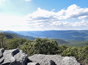
Hike to Wind Rock
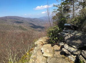
4.70.5 mi / 400 ft gainAt the parking lot cross the gravel road to the trail head that starts at a map posted on the edge of the road. Hike a quick quarter-mile where you'll turn left to a large rocky outcrop with views of the blueridge. You'll pass a campsite with fire ring before the rocky outcrop and overlook. I've ...Read more -
Blacksburg, Virginia
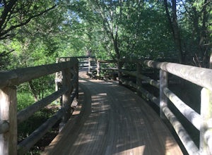
Hike the Coal Mining Heritage Park and Loop Trail
5.01 miThis is a part of the Huckleberry Trail (which is paved), but off of it is the dirt hiking/walking trail loop. It is a really fun area to explore, and the parts that are on the Huckleberry have plaques with historical information on it which is all very interesting. It also has a beautiful wooden...Read more -
Pembroke, Virginia
Bald Knob Trail
4.80.93 mi / 387 ft gainUnobstructed views with little hiking effort make Bald Knob one of the best locations to see the sunset in southwestern Virginia. Easy to access from US-460 in Giles County, take Mountain Lake Road (VA-700) for 7 miles and park in the gravel lot on the left by the intersection of VA-613 and Moun...Read more -
Renick, West Virginia
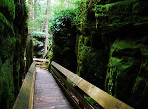
Explore Beartown State Park
4.30.6 mi / 50 ft gainFrom Rt. 219 about 7 miles south of Hillsboro, West Virginia, there are well-marked signs for Beartown State Park. This narrow road winds about a mile until the small parking area for the state park. The boardwalk trail starts to the left of the bathrooms, and it is encouraged to walk the trail...Read more -
Lyndhurst, Virginia
Hike to Shamokin Falls
4.42.2 mi / 950 ft gainStarting from the Dripping Rock Parking area at MP 10 on the Blue Ridge Parkway, head north on the white blazed Appalachian Trail (trail leading into woods from parking lot- don't cross the road). In about 20 steps the trail splits- go right. In another 20 steps or so the trail splits again but t...Read more

