Chelsea, Vermont
Looking for the best photography in Chelsea? We've got you covered with the top trails, trips, hiking, backpacking, camping and more around Chelsea. The detailed guides, photos, and reviews are all submitted by the Outbound community.
Top Photography Spots in and near Chelsea
-
Granville, Vermont
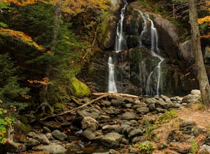
Photograph Moss Glen Falls
4.5While enjoying some of Vermont's most beautiful fall foliage along Route 100, be sure to stop and photograph Moss Glen Falls. Located approximately 3 miles outside of Granville, Vermont, Moss Glen can be found right along the roadside, making these falls easily accessible. There is a large parkin...Read more -
Warren, Vermont
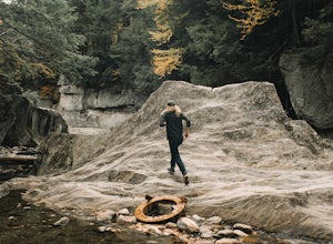
Explore Warren Falls
5.00.25 miWarren Falls is a popular local swimming hole just outside of Warren, VT on Route 100. You can access the falls by driving south on Route 100 from Warren (it's 3.5 miles south on the right hand side) or north from Granville on Route 100. The parking lot is clearly marked with a sign and ample par...Read more -
Groton, Vermont
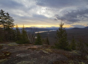
Hike to Owl's Head Trail Overlook
3.03 mi / 200 ft gainStarting at 1746 ft of elevation, this easy 3 mile hike (RT) pays off with a dramatic view of Lake Groton, Kettle Pond and the Green Mountains of Vermont. The trail head begins in New Discovery Park, along the dirt road to Osmore Pond. There is room to pull off the dirt road and park near the t...Read more -
Hartford, Vermont
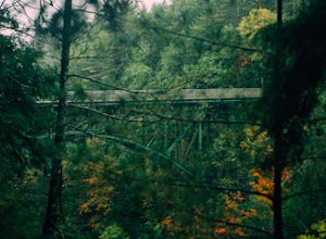
Camp at Quechee State Park
4.0Located on the Ottauquechee River, Quechee State Park offers camping options right beside one of Vermont's most famous gorges—Quechee Gorge. The steel bridge that passes over the 165 ft. gorge is just one of many spectacular views in this area. Quechee State Park is on Route 4 and easily accessi...Read more -
Warren, New Hampshire
Hike the Mt. Moosilauke Glencliff Trail
5.07.1 mi / 2454 ft gainTo get to the trailhead, take the 25N, turn right onto High Street and continue along this road until it comes to an end. The Mt Moosiulauke Glencliff Trail takes you through seven miles of forest and mountain scenery. The trail features impressive vistas and eye-catching wildflowers, which might...Read more -
Duxbury, Vermont
Camel's Hump Summit via Monroe Trail
4.86.22 mi / 2572 ft gainYou'll begin your Monroe Trail hike at approximately 1500', parking in one of three designated gravel lots along Camel's Hump Road in Duxbury. This trail is 6.8 miles round trip, and gains approximately 2583' in elevation. It is located on the east side of the mountain. Much of your hike will ...Read more -
Waterbury Center, Vermont
Hike Mt. Hunger
5.04.2 mi / 2263 ft gainMt Hunger stands at 3540 ft and face Vermont's tallest mountain, Mt Mansfield. At 45 min drive from Burlington, this is a challenging out and back hike. The views it offers and the waterfalls you will find along the path, makes it a good alternative to the overcrowded trails of Mt Mansfield. Th...Read more -
Huntington, Vermont
Camel's Hump Summit via the Burrows Trail
4.04.4 mi / 2228 ft gainThis adventure takes you up the Burrows Trail from the Huntington side of Camel's Hump. There are multiple trails to the summit, but this trail is the shortest. It is 2.4 miles to the summit with 2300' elevation gain. The trailhead is accessed from the aptly named Camel's Hump Road out of Huntin...Read more -
Orange, New Hampshire
Hike Cardigan Mountain via the West Ridge Trail
4.73 mi / 1200 ft gainCardigan Mountain is located in Cardigan Mountain State forest just outside of Canaan, New Hampshire. Just make sure to go to The Cardigan Mountain state park parking lot, via Cardigan Mountain Road and not the AMC Cardigan Lodge. The trail begins right from the parking lot where there is a port...Read more -
Sugar Hill, New Hampshire
Photograph Lupines in Sugar Hill
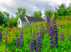
Every year, more or less around the second week of June, the village of Sugar Hill boasts a magnificent show of lupines. There are several concentrations of lupines in fields along the road, but the highlight of a visit to Sugar Hill is the small hillside near St. Matthew's Church. The vistas tow...Read more -
Lincoln, New Hampshire
Hike the Flume Gorge
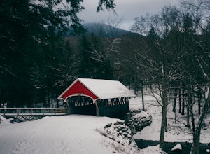
4.82 mi / 300 ft gainThe Flume Gorge in Franconia State Park is beautiful year round and every season has it's unique benefits. During the summer, the Flume is a highly frequented tourist destination and is usually crowded with groups of kids and families. Technically, the Gorge is closed during the winter and there ...Read more -
Lincoln, New Hampshire
Explore the Basin in Franconia Notch
4.01 mi / 300 ft gainThe Basin is just one stop on the Pemigewasset Recreational Trail that follows along I-93 through Franconia Notch. The parking lot for the Basin is easily accessible from either north or south on I-93, and it has it's own exit sign which can't be missed.Park in the lot and follow the signs toward...Read more -
Lincoln, New Hampshire
Kinsman Pond via Basin Cascade
7.25 mi / 2215 ft gainOur hike began at the Basin, which is a clearly marked exit directly off 93. If you are coming from the Northbound side, walk under the bridge beneath 93 to get to the beginning of the trail. We enjoyed the Basin for a while before hiking 1.0 mile to the Cascade Brook Trail where we took a right....Read more -
Lincoln, New Hampshire
Photograph Fall Foliage on the Kancamagus Highway
4.032 mi / 2855 ft gainDriving the Kancamagus Highway is something you can do as a way to cross the White Mountain National Forest quickly from I-93 in the east to Conway, or it can be an entire day's activity. In the fall, it's almost impossible not to stop at every turn-off on the scenic highway as it winds through t...Read more -
Franconia, New Hampshire
Hike Artists Bluff
4.31.5 miStarting from the Bald Mountain trailhead, the Artists Bluff trail takes you up a short but steep 1.5 mile path to a beautiful rocky overlook of Franconia Notch State Park. This is the perfect hike to find incredible views of the park and some amazing foliage in autumn. We parked across the stree...Read more -
Franconia, New Hampshire
Lonesome Lake
4.53.05 mi / 1027 ft gainThe Franconia Notch area of New Hampshire has many roadside adventures to go on, bringing in thousands of visitors every year, but my favorite place in the notch is Lonesome Lake. At 3 miles, the hike is easy enough for the whole family, but most people visiting the notch stick to the roadside a...Read more

