Chelsea, Vermont
Looking for the best hiking in Chelsea? We've got you covered with the top trails, trips, hiking, backpacking, camping and more around Chelsea. The detailed guides, photos, and reviews are all submitted by the Outbound community.
Top Hiking Spots in and near Chelsea
-
Warren, Vermont
Explore Warren Falls
5.00.25 miWarren Falls is a popular local swimming hole just outside of Warren, VT on Route 100. You can access the falls by driving south on Route 100 from Warren (it's 3.5 miles south on the right hand side) or north from Granville on Route 100. The parking lot is clearly marked with a sign and ample par...Read more -
Hancock, Vermont
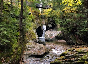
Hike at Texas Falls Recreation Area
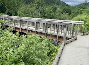
5.01 mi / 209 ft gainDirectly across from the main parking area are the viewing access points of Texas Falls. A footbridge crosses high above the flume and gorge, offering the best views. Crossing the bridge, there are plenty of other great view points with wooden railings keeping you away from the steep drops. ...Read more -
Groton, Vermont
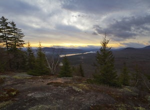
Hike to Owl's Head Trail Overlook
3.03 mi / 200 ft gainStarting at 1746 ft of elevation, this easy 3 mile hike (RT) pays off with a dramatic view of Lake Groton, Kettle Pond and the Green Mountains of Vermont. The trail head begins in New Discovery Park, along the dirt road to Osmore Pond. There is room to pull off the dirt road and park near the t...Read more -
Hartford, Vermont
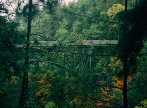
Camp at Quechee State Park
4.0Located on the Ottauquechee River, Quechee State Park offers camping options right beside one of Vermont's most famous gorges—Quechee Gorge. The steel bridge that passes over the 165 ft. gorge is just one of many spectacular views in this area. Quechee State Park is on Route 4 and easily accessi...Read more -
Woodstock, Vermont
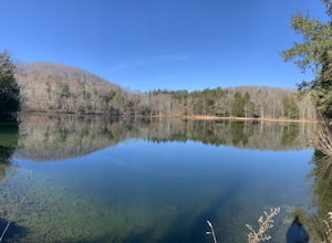
The Pogue and Mount Tom Trail
4.38 mi / 751 ft gainThe Pogue and Mount Tom Trail is a loop trail that takes you by a lake located near Woodstock, Vermont.Read more -
Appalachian Trail, Vermont
Hike to Thundering Brook Falls
4.50.4 mi / 29 ft gainThe hike to Thundering Brook Falls is kid friendly and fun for the whole family. At only .4 miles roundtrip, this is an excellent quick workout. Dogs are allowed on this trail but must be kept on leash. This trail is hiked year-round but is best used in the spring, summer, or during fall colors.Read more -
Warren, New Hampshire
Hike the Mt. Moosilauke Glencliff Trail
5.07.1 mi / 2454 ft gainTo get to the trailhead, take the 25N, turn right onto High Street and continue along this road until it comes to an end. The Mt Moosiulauke Glencliff Trail takes you through seven miles of forest and mountain scenery. The trail features impressive vistas and eye-catching wildflowers, which might...Read more -
Duxbury, Vermont
Camel's Hump Summit via Monroe Trail
4.86.22 mi / 2572 ft gainYou'll begin your Monroe Trail hike at approximately 1500', parking in one of three designated gravel lots along Camel's Hump Road in Duxbury. This trail is 6.8 miles round trip, and gains approximately 2583' in elevation. It is located on the east side of the mountain. Much of your hike will ...Read more -
Waterbury Center, Vermont
Hike Mt. Hunger
5.04.2 mi / 2263 ft gainMt Hunger stands at 3540 ft and face Vermont's tallest mountain, Mt Mansfield. At 45 min drive from Burlington, this is a challenging out and back hike. The views it offers and the waterfalls you will find along the path, makes it a good alternative to the overcrowded trails of Mt Mansfield. Th...Read more -
Salisbury, Vermont
Camp at Lake Dunmore
The campground office for Branbury state park is on the opposite side of Route 53 from the pin on the map here, but the best campsites are where the pin is. Start by going and talking to the rangers at the office, they are super friendly and very helpful for recommendations of hikes or things to...Read more -
Woodstock, New Hampshire
Hike Mount Moosilauke via Gorge Brook Trail
4.87.4 mi / 2400 ft gainMount Moosilauke is a 4000 footer located in the White Mountain Range of New Hampshire. The summit peaks at 4,802 feet with a prominence of 2,933 feet.If you're new to exploring the White Mountain range this will definitely be a great introduction to what it can offer. The Gorge Brook Trail is th...Read more -
Huntington, Vermont
Camel's Hump Summit via the Burrows Trail
4.04.4 mi / 2228 ft gainThis adventure takes you up the Burrows Trail from the Huntington side of Camel's Hump. There are multiple trails to the summit, but this trail is the shortest. It is 2.4 miles to the summit with 2300' elevation gain. The trailhead is accessed from the aptly named Camel's Hump Road out of Huntin...Read more -
Benton, New Hampshire
Hike Mount Moosilauke via Beaver Brook Trail
7.6 mi / 3150 ft gainThe trailhead is located along Lost River Road. There is a $5.00 day use parking pass required. The trail starts off on the Beaver Brook Trail (also the Appalachian Trail). The trail consists of cascades of rocks, wood-block steps and metal rungs (not all entirely in tact). It is very often ...Read more -
Mendon, Vermont
Hike to Killington Peak
5.03.4 miThe trail head (Bucklin Trail) is found a couple of miles up Wheelerville Road on the left. Wheerlerville is a dirt road that will be muddy in the spring and summer. The drive is long enough that you will think you did something wrong, but you haven't! the trail head will eventually pop up.The tr...Read more -
Orange, New Hampshire
Hike Cardigan Mountain via the West Ridge Trail
4.73 mi / 1200 ft gainCardigan Mountain is located in Cardigan Mountain State forest just outside of Canaan, New Hampshire. Just make sure to go to The Cardigan Mountain state park parking lot, via Cardigan Mountain Road and not the AMC Cardigan Lodge. The trail begins right from the parking lot where there is a port...Read more -
Alexandria, New Hampshire
High Cabin
5.04 mi / 1275 ft gainHigh Cabin, located in Cardigan State Forest, is owned and operated by the Appalachian Mountian Club (AMC). It was originally built in 1931 and since renovated in 2004. Renovations included a new roof, siding, bunk beds, a wood stove, and a composting toilet. It comes supplied with wood, bunks(st...Read more


