Burke, Vermont
Top Spots in and near Burke
-
Lincoln, New Hampshire
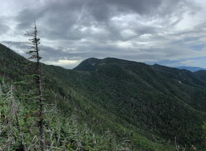
Osceola Mountain via Greeley Pond
4.06.8 mi / 2677 ft gainStart out at the Greeley Pond trailhead off of the Kancamagus Highway. After 1.3 miles the trail splits--bear right to get onto the Mt. Osceola Trail. Continue 1.5 miles to the summit. This summit hike offers a different kind of reward. Views are limited from the peak of Mt. Osceoloa, which allow...Read more -
Bartlett, New Hampshire
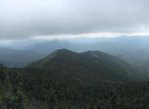
Hike Mt. Carrigain
5.010 mi / 3250 ft gainPark on Sawyer River Road at the Signal Ridge Trailhead. Trail starts out as a mild climb and meanders with the Whiteface Brook. When you arrive at the Carrigain Notch Trail junction, turn left. Enjoy three miles of steep uphill along the mountain's edge. When you reach the the apex of Mt. Carrig...Read more -
Thornton, New Hampshire
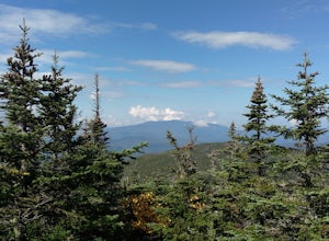
Hike Mount Tecumseh via Tripoli Road
6.2 mi / 2545 ft gainThis short hike starts out from the Tecumseh Trailhead parking lot along Tripoli Road at an elevation of 1,820 feet. The trail heads south from the parking area and almost immediately crosses a few brooks which may be difficult at high water. The first mile or so is a relatively gradual ascent. O...Read more -
Maine 26, Maine
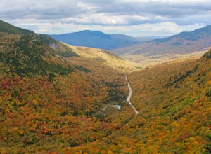
Hike Eyebrow Trail to Old Speck Mountain Loop
7.8 mi / 3000 ft gainThe first time I attempted this trail was in mid April, and the slush and mud I encountered was absolutely unbelievable. Snowshoes were useless. Crampons were useless. Boots alone meant dirty, wet, muddy feet. So, I had to bail. But I came back in October and I’m so glad I did because the views o...Read more -
Newry, Maine
Table Rock Trail
4.51.91 mi / 761 ft gainTable Rock Trail is a loop trail that takes you past a cave located near Newry, Maine.Read more -
Andover, Maine
Fly Fish Lower Dam at Rapid River, Maine
Getting to Rapid River can be a bit of a trek, as the 10 or so miles leading to it is a maze of logging roads and the cell service is spotty at best. Here is a rundown of the route:Driving Northeast on Rt 26, take a sharp right onto Andover RD (East B Hill Road)After 2.1 miles, turn left onto Bro...Read more -
Thornton, New Hampshire
Hike the Lafayette-Lincoln Loop
2.35.2 miBegin at the Mt. Tecumseh trailhead. You will hike for 1.2 miles before your first vista. Continue from there another mile until you arrive at the junction with the Sosman Trail. Stay right and continue another 0.3 miles to reach the summit of Mt. Tecumseh. At just over 4,000' this peak offers in...Read more -
Duxbury, Vermont
Camel's Hump Summit via Monroe Trail
4.86.22 mi / 2572 ft gainYou'll begin your Monroe Trail hike at approximately 1500', parking in one of three designated gravel lots along Camel's Hump Road in Duxbury. This trail is 6.8 miles round trip, and gains approximately 2583' in elevation. It is located on the east side of the mountain. Much of your hike will ...Read more

