Tropic, Utah
Top Spots in and near Tropic
-
Boulder, Utah
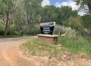
Camp at Deer Creek Campground
5.0Deer Creek campground is off of the Burr Scenic drive and right outside of the lower part of Capitol Reef National Park. This campground is perfect if you are driving from Bryce Canyon to Capitol Reef. There are a total of 7 tent sites in the campground. There are no spots for RVs and no turn aro...Read more -
Marble Canyon, Utah
Hike the Buckskin Mountain Passage from Stateline Campground on the Arizona Trail
8 mi / 1400 ft gainDepending how you approach this 800 mile trail, I did the first 4 miles or last 4 miles as an out and back from Stateline Campground on the Utah/Arizona state line and the border of Vermilion Cliffs National Monument. This section of the trail does not pass through Vermilion Cliffs N.M. b...Read more -
Kanab, Utah
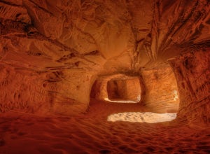
Sand Caves of Kanab
4.51.17 mi / 69 ft gainTo get to this cave, drive north of Kanab on Highway 89. Just after you pass Best Friends Animal Sanctuary, you will see these caves on the right. To hike to the caves, try accessing the trail from as far to the left as possible. The hike isn't strenuous or tricky in that case. The other thing t...Read more -
Duck Creek Village, Utah
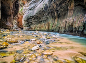
Hike The Narrows: Top Down
5.015.38 miTHE NARROWS This by far one of the most scenic and awesome hikes available in any National Park. There is no place in Zion National Park more sublime in its beauty and awe inspiring in its creation as you hike through the crystal clear Virgin River and marvel at the myriad of red, orange, yellow...Read more -
Boulder, Utah
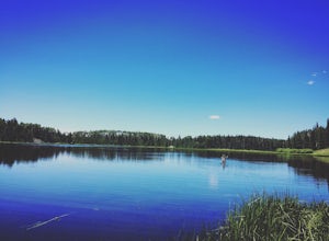
Camp and Fish Deer Creek Lake
2.7 mi / 702 ft gainThere is something magical about Deer Creek Lake. The views are amazing, the hike is revitalizing, and the mountain air speaks to your soul. Stars seem to shine brighter here than any other trip you will go on. Out here, it is you and the wild. You will be able to see fish colored with bright cut...Read more -
Garfield County, Utah
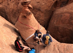
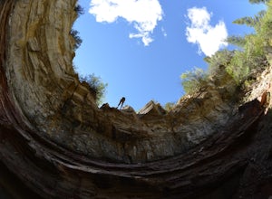
Canyoneering in Neon Canyon
13 mi / 1000 ft gainThis is an 8-12 hour technical adventure that is usually done as an overnight backpack. Consider hiring a local guide service such as Excursions of Escalante or Escalante Outfitters! We did this as a self-guided excursion. A group is recommended because you may experience keeper potholes dependin...Read more -
Garfield County, Utah
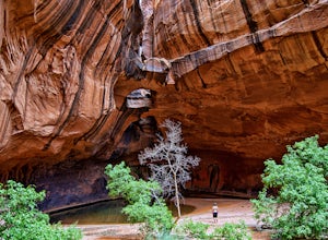
Golden Cathedral Trail
4.59.27 mi / 1398 ft gainFrom highway 12, drive south down the hole in the rock road for about 17 miles to a dirt road on the left that is well marked for Egypt. Follow that dirt road 9.9 miles to the Egypt Trailhead. There is a BLM trail register at the trail head. After that, take one of the numerous ways down to the E...Read more -
Marble Canyon, Arizona
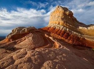
Hike to the White Pocket
5.04 miWhite Pocket is extremely difficult to access due to the road leading to it. There are sections with very deep, soft sand going uphill! You must have a high clearance 4WD vehicle and air down your tires to have any hope of making it here. Do not take this lightly, a tow bill will cost you a minim...Read more -
Marble Canyon, Arizona
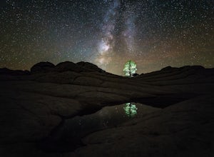
Night Photography at White Pocket
White Pocket is a remote outcropping of sandstone formations in Vermillion Cliffs National Monument similar to the famous "Wave". Unlike The Wave, a permit isn't needed to visit, but you will need a high-clearance 4WD vehicle with good tires; alternatively, you can hire a 4WD tour service in near...Read more -
Mount Carmel, Utah
Canyoneering Birch Hollow
4.3Birch Hollow is near Zion National Park, and accessible from North Fork Road (East Zion) past the Ponderosa Resort. If you do not hike out through Orderville into Zion National Park (ZNP) and the Narrows, then a ZNP Permit is not required (turning around and hiking back to your vehicle).The time ...Read more -
Kane County, Utah
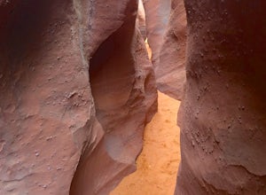
Peek-a-Boo and Spooky Canyons
4.75.44 mi / 584 ft gainThis hike is located in the Grand-Staircase-Escalante Monument and the nearest town is Escalante, Utah. From Escalante, you take Hole-in-the-Rock Road 26 miles to the Dry Fork road turn-off. The Hole-in-the-Rock road It is a dirt road, and while I did see some sedans and minivans, I suggest a veh...Read more

