Tropic, Utah
Top Spots in and near Tropic
-
Kanab, Utah
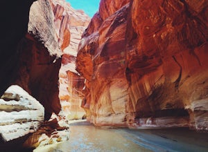
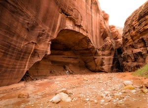
Hike through Paria Canyon
5.014.94 mi / 846 ft gainNo matter how far you plan on hiking, it is ideal to get an early start so you aren’t hiking too long under the desert sun. There is no shade on this hike except for the shadows offered from the steep walls of the canyon, so make sure you bring sunscreen! From the very start, you’ll get your fee...Read more -
Kanab, Utah
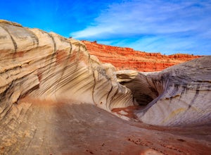
Hike to the Nautilus
4.30.5 miLike the submarine in Twenty Thousand Leagues Under The Sea, Jules Verne called it "A Masterpiece Containing Masterpieces." The Nautilus, what some say is shaped like a corkscrew or a sea shell, is a white sandstone formation with multiple colors, shapes and textures. This makes it a great place ...Read more -
Brian Head, Utah
Alpine Pond North Loop
1.22 mi / 79 ft gainAlpine Pond North Loop is a loop trail that takes you by a lake located near Cedar City, Utah.Read more -
Boulder, Utah
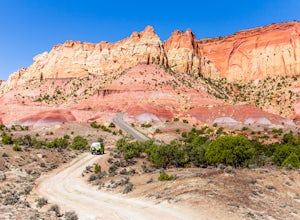
Drive the Burr Trail Scenic Backway
5.066.2 mi / 4124 ft gainThe Burr Trail is a 66 miles mostly-paved road connecting Boulder, Utah / Highway 12 with the Notom-Bullfrog road that passes through some of the most scenic (and largely untouched) painted-rock backcountry in three of our national parks/monuments including Grand Staircase-Escalante, Capitol Reef...Read more -
Escalante, Utah
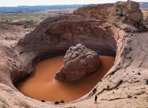
Hike to the Cosmic Ashtray
4.08 mi / 800 ft gain...As a frequent traveler, what's always motivated my travels were locations that have either been on my bucket list, or are places that are photogenic and a little off the beaten path. During my recent 3 week road trip through Northern Arizona and Southern Utah, I had the opportunity to visit a ...Read more -
Orderville, Utah
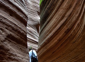
Hike through the Red Caves (Sand Wash)
5.0They don't require any technical gear unless you would like to do two short rappels near the beginning of Lower Red Cave and one short rappel into the Upper Red Cave. We didn't take a rope and were fine although the canyons are usually filled with water and have some difficult obstacles to overco...Read more -
Brian Head, Utah
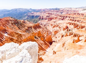
Hike the Sunset Trail
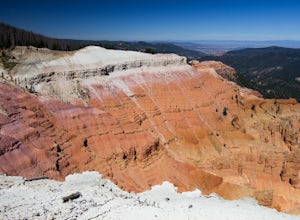
4.01 mi / 200 ft gainCedar Breaks National Monument is a gorgeous multi-colored limestone amphitheater that many consider to be more beautiful than Bryce Canyon National Park given its greater depth over a shorter distance and higher elevation. It is far less traveled than its neighbors of Zion and Bryce. The Sunset ...Read more -
Brian Head, Utah
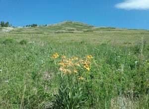
Hike the Brian Head Loop Trail
0.2 miDrive to the peak on county road 47 to the parking area. Hike around the peak and admire the beautiful views of the mountains and the resort below. Be sure to take pictures of the abundant wildflowers around the peak. The drive to the peak is very scenic.Read more -
Brian Head, Utah
Hike Ramparts Trail via Spectra Point
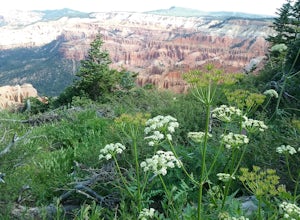
5.04 miTo call this place "breathtaking" would not do it justice. The rusty red, orange, purple colors of million-year-old rock erosion are otherworldly, something you'd imagine on Mars. The Indians named Cedar Breaks the "Circle of Painted Cliffs," and when you see this brilliantly colored coliseum you...Read more -
Brian Head, Utah
Hike the Sunset Trail, Cedar Breaks National Monument
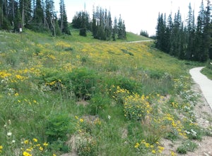
2 mi / 100 ft gainStarted the hike at the visitor center. The walk is fairly level and there is not much altitude gain. There are very good views of the park and in the summer there is a profusion of wildflowers. At the beginning of the trail the different wildflowers are labeled.Read more -
Brian Head, Utah
Hike the Spectra Point and Rampart Overlook Trails
3.7 mi / 836 ft gainPark at the visitor center parking lot and start hiking the trail. You'll admire the great views of the breaks and canyons below. If you hike in the summer, be sure to take the time to photograph the many beautiful wildflowers, old cedars, and marmots.Read more -
Kanab, Utah
The Wave via Coyote Buttes North
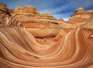
5.05.41 mi / 755 ft gainThe hike to the Wave is 2.5 miles (one-way). When you arrive, take in the sandstone showing incredible striations of red, orange, pink, yellow, and beige. Please note that this adventure is only accessible by obtaining a permit. Only 20 visitors are allowed access per day with 10 permits given on...Read more -
Kanab, Utah
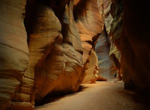
Wire Pass Slot Canyon
4.63.75 mi / 325 ft gainWire Pass is a hike through a scenic slot canyon that is often overlooked due to its close proximity to the very famous Wave. Unlike the "Wave" a permit is not required to make the hike, only a day use fee at the trailhead. Be sure to check local weather for rainfall and please do not go on this ...Read more -
Kanab, Utah
Hike Buckskin Gulch, Vermillion Cliffs Wilderness
4.615 miBuckskin Gulch is a natural wonder. At 15 miles long it is the longest slot canyon in the world. It sometimes is as narrow as 2ft. Because of the nature of this canyon and Utah topography this canyon is subject to deadly flash flood if it rains anywhere along the headwaters. Be sure to check in w...Read more -
Orderville, Utah
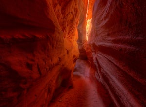
Kanab's Peek-a-Boo Canyon
4.87.71 mi / 587 ft gainThe trailhead is Red Canyon (aka Peek-a-boo) trailhead located just off of Highway 89 between Kanab and Mt. Carmel Junction. The GPX track shows the entirety of the trail, but if you have 4WD and a high-clearance vehicle, you're able to reach the closer parking area for a less than 1-mile roundtr...Read more -
Brian Head, Utah
Canyoneering Benson Creek
2 mi / 200 ft gainDisclaimer: Canyoneering is a dangerous and technical activity. Don’t enter any canyon without the skills to match it, or the knowledge to navigate it. Benson Creek is a pleasant little spot for families to hike a waterfall (Hidden Haven Falls), or a fantastic spot for canyoneers to rappel some w...Read more

