Saratoga Springs, Utah
Top Spots in and near Saratoga Springs
-
Centerville, Utah
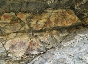
Hike to the Parrish Creek Pictographs
4.71 mi / 200 ft gainThe petroglyphs are pretty easy to find and it is such a short hike you can do it in about 45 minutes. To get to the trailhead, drive to Centerville, Utah and take 400 N all the way towards the mountain. The road with curve to the right with a small dirt road heading to the left. Take the dirt ro...Read more -
Peoa, Utah
Camp at the Rockport State Park Yurts
The yurts at Rockport are a great way to get out into nature. You can chose between yurts or cabins. Yurts cost $70 a night and cabins cost $80 a night. Spots will have to be secured with reservations in advance. You can find more information at http://rockportmarina.checkfront.com/reserve/. Ther...Read more -
Kamas, Utah
Hike Riley's Canyon
5 mi / 200 ft gainAproximately two miles Southeast of Woodland, UT on Highway 35 you will come to a small turnout on the North side of the road. It is sufficient in size for a handful of vehicles to park, so that passengers can make their way into Riley's Canyon. From the turn off, look to the North and you will s...Read more -
Nephi, Utah
Andrew's Ridge to Mt. Nebo (South Peak)
8.67 mi / 5400 ft gainAndrew's Ridge to Mt. Nebo (South Peak) is an out-and-back trail where you may see wildflowers located near Nephi, Utah.Read more -
Salt Lake City, Utah
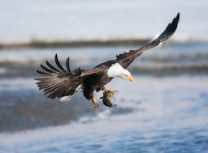
Birding at Farmington Bay
5.0Every winter as the ice thaws, eagles gather at Farmington Bay to feed on huge populations of carp. This can produce a pretty amazing set of circumstances where it's not uncommon to see birds feeding just 50 yards from shore.The prime viewing opportunity happens around "Bald Eagle Day," an event ...Read more -
Juab County, Utah
Photographing Little Sahara Recreation Area
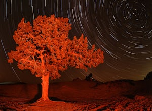
5.0What I used: An old Nikon D80 that was converted into an infrared camera. The infrared camera can be used to create some unique images. The monochrome images that I uploaded were created with the IR camera.NIkon D7000. I used these for the night shots with milky way. The images were created using...Read more -
Tooele County, Utah
Stansbury Island Trail
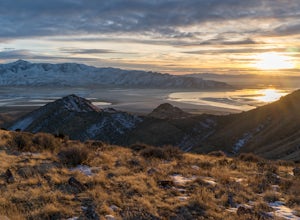
2.88.87 mi / 2585 ft gainRarely will you ever see another person at the underrated Stansbury Island, the second largest island within the Great Salt Lake in Utah - even though a dirt causeway connects it to land, it is still considered an island. The lack of crowds make this a good place to hike, take photos, and enjoy t...Read more -
Davis County, Utah
Hike Frary Peak Trail on Antelope Island
5.06.4 mi / 2030 ft gainThe Frary peak trail is the highest point of Antelope Island and can be found a short drive off of I-15 north on Antelope Drive near Layton. There is a fee to access the island, but well worth it. When you get to the island, head left along the east side of the island toward Fielding Garr Ranch. ...Read more -
Davis County, Utah
Hike the Frary Peak Trail
4.57 mi / 2050 ft gainThis is a fairly easy hike starting at the parking lot near the trailhead. You will encounter little or no obstacles on your hike, just a nice incline leading you to the highest point of the island.You will be able to see lots of buffalo roaming around most of the island on your way up. Be sure t...Read more -
Kamas, Utah
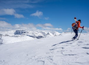
Backcountry Ski Mt. Watson in the Uinta Mountains
Mt. Watson is a beauty. It is one of the tallest peaks directly outside of the High Uintas Wilderness area and has a stunning East face that is very steep and littered with cliff bands. Many people hike around Mt. Watson in the summer, when the Mirror Lake Highway is open and the trailhead is eas...Read more -
Coalville, Utah
Camp at Echo Reservoir
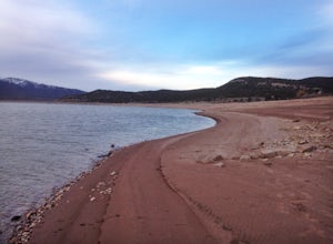
5.0This scenic reservoir provides you with the opportunity to spend the day on the water. To get here, drive around 45 minutes from Park City toward Coalville. Get off for the exit and take a left once in town; drive along this road until you see the campground entrance on your left.Overnight passes...Read more -
Layton, Utah
Stroll through the Great Salt Lake Shorelands Preserve
5.01 miThe wetlands of The Nature Conservancy's Great Salt Lake Shorelands Preserve are a unique system of salt and fresh water marshes, ponds, pools, sloughs and mudflats. It is a rich feeding ground for tens of thousands of migrating birds, making this destination a birder's paradise.Great for all ski...Read more -
Layton, Utah
Adams Canyon
4.83.55 mi / 1434 ft gainThe trailhead is at a dirt parking lot with a lot of parking, but on Saturday mornings it can get full and people are forced to park on the street. As you start off, there are a few steep and sandy switchbacks. They don't last too long but on a hot day it can seem like forever. After that, the t...Read more

