Sandy, Utah
"If you're in Utah for the mountains, Sandy is the place to be. You're only minutes from all the fun that Big and Little Cottonwood Canyons have to offer: Snowbird, Alta, Brighton, and Solitude resorts; dozens of trailheads for mountain biking and hiking; incredible limestone and granite for rock climbing. "
Top Spots in and near Sandy
-
Davis County, Utah
Hike the Frary Peak Trail
4.57 mi / 2050 ft gainThis is a fairly easy hike starting at the parking lot near the trailhead. You will encounter little or no obstacles on your hike, just a nice incline leading you to the highest point of the island.You will be able to see lots of buffalo roaming around most of the island on your way up. Be sure t...Read more -
Layton, Utah
Stroll through the Great Salt Lake Shorelands Preserve
5.01 miThe wetlands of The Nature Conservancy's Great Salt Lake Shorelands Preserve are a unique system of salt and fresh water marshes, ponds, pools, sloughs and mudflats. It is a rich feeding ground for tens of thousands of migrating birds, making this destination a birder's paradise.Great for all ski...Read more -
Croydon, Utah
Whitewater Kayaking the Weber River
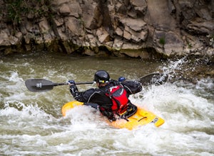
4.0This is a great beginner river for whitewater kayaking, with rapids from class II-III. It has plenty of features to keep you entertained, such as the Rock Garden, old bridges, and Taggart Falls, with several class II rapids in between. Be aware, there is a low bridge at one point in the river tha...Read more -
Syracuse, Utah
Buffalo Point Trail
5.00.95 mi / 253 ft gainBuffalo Point Trail is a heavily trafficked out-and-back trail that takes you by a lake located near Syracuse, Utah.Read more -
Davis County, Utah
Hike the Buffalo Point Trail on Antelope Island
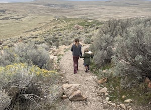
4.01 mi / 300 ft gainAntelope Island State Park is a gem within the Utah State Park system. With over 28,000 acres, it is the biggest island located in the Great Salt Lake...the largest salt water lake in the Western hemisphere. It is incredibly scenic, with beautiful shoreline and beaches, grassy plains, mountaino...Read more -
Syracuse, Utah
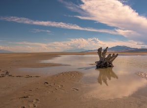
Photograph the Famous Stump by the Antelope Island Causeway
4.8If you've ever visited Antelope Island State Park, there is no doubt you've seen the stump. This dead, bleached focal point with it's gnarled branches stands out in the middle of the vast landscape of the Great Salt Lake. It is located on the South side of the causeway, approximately two miles fr...Read more -
Tooele County, Utah
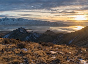
Stansbury Island Trail
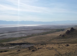
2.88.87 mi / 2585 ft gainRarely will you ever see another person at the underrated Stansbury Island, the second largest island within the Great Salt Lake in Utah - even though a dirt causeway connects it to land, it is still considered an island. The lack of crowds make this a good place to hike, take photos, and enjoy t...Read more -
Davis County, Utah
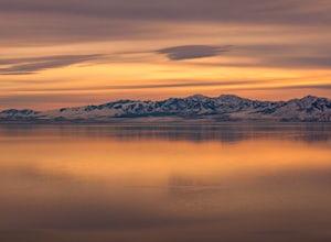
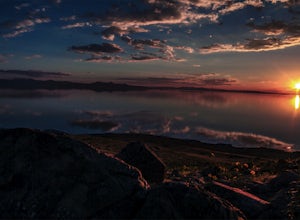
Catch a Sunset on Antelope Island
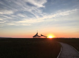
5.0This is a great place to catch a sunset with the herds of Buffalo grazing and the surrounding mountain ranges. With the clouds moving over the mountains and the water reflecting the sunset, you can get amazing shots if that's what you're interested in.The smart move when heading there is to drive...Read more -
Springville, Utah
Rappel the Red Ledges
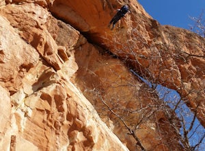
4.01 mi / 180 ft gainThis is a sweet spot to go rappelling near Spanish Fork, UT. It's located at the Red Ledges in Diamond Fork Canyon. There is a picnic area, grill and restrooms near the base. The unique formations are beautiful to hike around and fun to rappel down. The hike is pretty short, but steep. We did...Read more -
Kamas, Utah
Backcountry Ski Mt. Watson in the Uinta Mountains
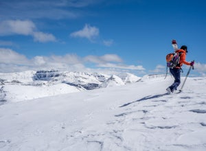
Mt. Watson is a beauty. It is one of the tallest peaks directly outside of the High Uintas Wilderness area and has a stunning East face that is very steep and littered with cliff bands. Many people hike around Mt. Watson in the summer, when the Mirror Lake Highway is open and the trailhead is eas...Read more -
Utah County, Utah
Diamond Fork (Fifth Water) Hot Springs
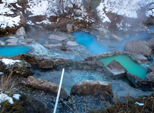
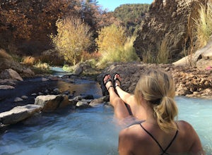
4.44.63 mi / 663 ft gainWhen you hike out to Diamond Fork aka Fifth Water hot springs, get ready for an amazing experience! The lower fall is visible from the main pool. If you want to continue to go further up the creek, you will run into the second fall, which is the most photogenic of them all. There are also two poo...Read more -
Utah County, Utah
Fifth Water Hot Springs from Rays Valley Trailhead
5.04.98 mi / 787 ft gainFifth Water Hot Springs from Rays Valley Trailhead is an out-and-back trail that takes you to a hot springs located near Spanish Fork, Utah. Dogs are permitted on this trail on-leash. If heading to the hot springs with your pup, please be respectful of others visiting the hot springs. Along this ...Read more -
Payson, Utah
Grotto Falls
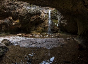
4.00.54 mi / 144 ft gainHeading in the canyon you will drive along a winding road for a while until you pass through a gate (Closed during Winter, this is where you will need to pull over and continue down the road on foot) about a mile up you will see a trailhead on the left called "Bennie Creek" and right after you wi...Read more -
18899-19003 U.S. Highway 89, Utah
Visit the Flooded Thistle Ghost Town
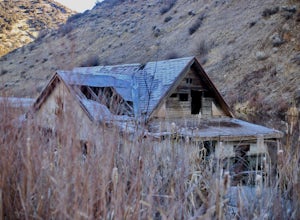
3.0Thistle, Utah was a small community located in Spanish Fork Canyon, founded in 1883. It flourished for a time as a ranching community and eventually became a major stop on the rail line that ran through it. This all changed in 1983 when a massive landslide dammed the Spanish Fork River and floode...Read more -
Ogden, Utah
Waterfall Canyon Trail via Ogden Park
3.03.3 mi / 1699 ft gainWaterfall Canyon Trail via Ogden Park is an out-and-back trail that takes you by a waterfall located near Ogden, Utah.Read more -
Huntsville, Utah
Green Pond Loop
4.52.44 mi / 436 ft gainAbout a mile before Snowbasin, is a parking lot with a map and trail marker. The first incline is steep and follows a single track trail that leads to the ponds. This trail is great year-round, but in the winter, you may have some stray backcountry snowboarders in the area. It's pretty quiet over...Read more

