Sandy, Utah
"If you're in Utah for the mountains, Sandy is the place to be. You're only minutes from all the fun that Big and Little Cottonwood Canyons have to offer: Snowbird, Alta, Brighton, and Solitude resorts; dozens of trailheads for mountain biking and hiking; incredible limestone and granite for rock climbing. "
Top Spots in and near Sandy
-
Provo, Utah
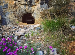
Hike to Buckley's Abandoned Mine
4.63 mi / 200 ft gainOnce you reach the mine it's gated but you can slide in. Follow the main tunnel a hundred or so feet back and climb the 75 foot ladder up to the second level. You can then make your way back out to the cliff face where there is another gate to the outside. That gate is a little trickier to squeez...Read more -
Provo, Utah
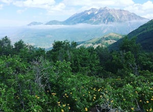
Hike Squaw Peak
4.57.1 mi / 2700 ft gainSquaw Peak Trail is a great hike if you live in Provo, since it is a quick getaway. But still definitely worth the trip if you don't. This 7.1 mile hike has beautiful views and does not long to do Usually it takes about three hours from start (Rock Canyon) to finish (the Peak) at a decent clip. T...Read more -
Provo, Utah
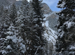
Snowshoe the Rock Canyon Trail
3 mi / 1630 ft gainThe Rock Canyon trail is a heavily trafficked path that brings people of all ages. In the winter the mountains are covered in snow and the path is well packed down due to the volume of people that are hiking. After about a mile of hiking, you will enter the more dense part of the canyon with lo...Read more -
Centerville, Utah
Hike to the Rope Swing on Deuel Creek Trail
5.02.6 mi / 646 ft gainNot only is this hike absolutely gorgeous, but it also has an epic rope swing at the end! To get to the trailhead you'll need a vehicle that can handle rough roads—you have to drive up a bit on the side of the mountain to get to the trailhead. The beginning of the hike is marked with a little bul...Read more -
Centerville, Utah
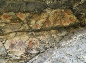
Hike to the Parrish Creek Pictographs
4.71 mi / 200 ft gainThe petroglyphs are pretty easy to find and it is such a short hike you can do it in about 45 minutes. To get to the trailhead, drive to Centerville, Utah and take 400 N all the way towards the mountain. The road with curve to the right with a small dirt road heading to the left. Take the dirt ro...Read more -
Provo, Utah
The Y Trail
3.52.29 mi / 1063 ft gainHiking the Y is a classic hike in Provo, Utah—but don't expect it to be easy! There's no shade and not much greenery, so it's a hot, dusty trek to the top. Once you reach the Y, though, the view of the Provo and Utah Lake is amazing. There are also benches at the top. When you reach the Y, you w...Read more -
Saratoga Springs, Utah
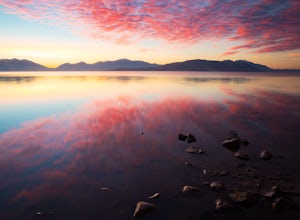
Photograph the Sunrise at Utah Lake
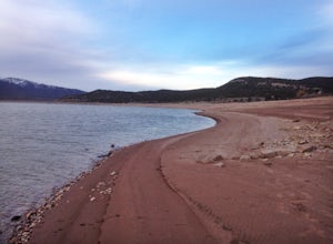
4.0Turn off Highway 68 onto a dirt road towards Utah Lake. You'll see a large sign on your left and a small hill with ATV trails in the distance on your right. Follow the dirt road straight down past the hill. After veering right you can park down fairly close to the water's edge. The dirt road is f...Read more -
Provo, Utah
Hike to the Summit of Buckley Mountain
4.018 mi / 5000 ft gainThere are a few ways to get to the top of Buckley, but the funnest (and most strenuous) way to get up to Buckley is taking the trail up Slate Canyon. Slate Canyon has a parking lot and bathroom located at the base of the trail, and the trailhead is about ten minutes from the Provo Center Street e...Read more -
Salt Lake City, Utah
Birding at Farmington Bay
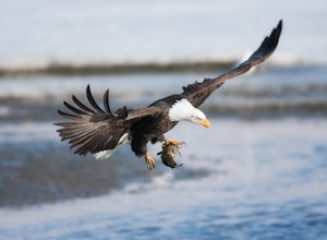
5.0Every winter as the ice thaws, eagles gather at Farmington Bay to feed on huge populations of carp. This can produce a pretty amazing set of circumstances where it's not uncommon to see birds feeding just 50 yards from shore.The prime viewing opportunity happens around "Bald Eagle Day," an event ...Read more -
Peoa, Utah
Camp at the Rockport State Park Yurts
The yurts at Rockport are a great way to get out into nature. You can chose between yurts or cabins. Yurts cost $70 a night and cabins cost $80 a night. Spots will have to be secured with reservations in advance. You can find more information at http://rockportmarina.checkfront.com/reserve/. Ther...Read more -
Kamas, Utah
Explore the Mirror Lake Scenic Byway
4.7Mirror Lake Scenic Byway is breathtaking. There is lots to take in via longer trips, but with numerous viewpoints, lakes, and the Provo River just off the main highway, the drive through alone is well worth it.There is SO much to do in the Uintas, with activities ranging from lakeside picnics to ...Read more -
Kamas, Utah
Hike Riley's Canyon
5 mi / 200 ft gainAproximately two miles Southeast of Woodland, UT on Highway 35 you will come to a small turnout on the North side of the road. It is sufficient in size for a handful of vehicles to park, so that passengers can make their way into Riley's Canyon. From the turn off, look to the North and you will s...Read more -
Springville, Utah
Maple Mountain (aka Spanish Fork Peak)
10.56 mi / 4524 ft gainThe trail starts out very easy, but keep an eye out for the fork in the trail at the creek. It's easy to miss. It's right at the metal bench that will be on the left. Cross the creek and continue another quarter mile or so when you'll notice another branch to your left. Keep going straight here a...Read more -
Layton, Utah
Adams Canyon
4.83.55 mi / 1434 ft gainThe trailhead is at a dirt parking lot with a lot of parking, but on Saturday mornings it can get full and people are forced to park on the street. As you start off, there are a few steep and sandy switchbacks. They don't last too long but on a hot day it can seem like forever. After that, the t...Read more -
Coalville, Utah
Camp at Echo Reservoir
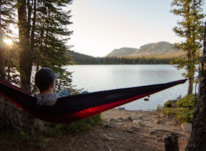
5.0This scenic reservoir provides you with the opportunity to spend the day on the water. To get here, drive around 45 minutes from Park City toward Coalville. Get off for the exit and take a left once in town; drive along this road until you see the campground entrance on your left.Overnight passes...Read more -
Davis County, Utah
Hike Frary Peak Trail on Antelope Island
5.06.4 mi / 2030 ft gainThe Frary peak trail is the highest point of Antelope Island and can be found a short drive off of I-15 north on Antelope Drive near Layton. There is a fee to access the island, but well worth it. When you get to the island, head left along the east side of the island toward Fielding Garr Ranch. ...Read more

