San Juan County, Utah
Looking for the best hiking in San Juan County? We've got you covered with the top trails, trips, hiking, backpacking, camping and more around San Juan County. The detailed guides, photos, and reviews are all submitted by the Outbound community.
Top Hiking Spots in and near San Juan County
-
Moab, Utah
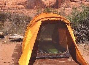
Camp at King's Bottom
4.0Kane Creek is a massive canyon, with the Colorado river at it's feet and red cliffs towering on either side. There are numerous trail heads and campgrounds the farther you explore into the canyon. However, these sites fill up fast. The canyon restricts camping to only designated sites, capping th...Read more -
Moab, Utah
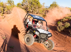
Drive Fins & Things
5.09.4 mi / 900 ft gainFins & Things is a 9.4 mile classic Moab ATV / 4WD trail rated 5 by the Red Rock Four-Wheelers. It is steep, has great traction, some fantastic slalom cutes and of course, glorious views of the Moab redrock scenery. The one-way trail is broken into three sections and begins at campsite E-6 in...Read more -
Moab, Utah
Camp at Sand Flats Recreation Area in Moab
3.0The rock domes and slickrock around the campsites provide fun for young and old to scramble on, or simply enjoy the sunrise or sunset. Located just outside of the town of Moab Utah is the Sand Flats Recreation Area. The area is managed jointly by the Bureau of Land Management and Grand County Uta...Read more -
Moab, Utah
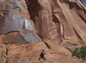
Rock Climbing Moab's Wall Street
4.4Moab's Wall Street is exactly what it sounds like, but nothing like the "Wall Street" you're familiar with. Several miles off Highway 279, it hugs the Colorado River on one side and a towering 500ft sandstone wall littered with climbing routes on the other. There is easy access to all of the clim...Read more -
Moab, Utah
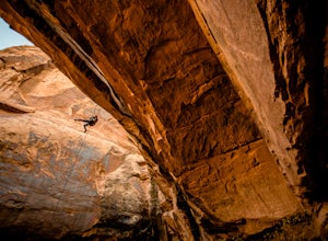
Rappel the Granstaff Canyon
4.04.5 mi / -500 ft gainThe Granstaff Canyon is a beautiful, red rock canyon just outside of Moab, nestled up against the Colorado River. For those with canyoneering or climbing experience, this canyon is simple enough to run. After an initial one hour (ish) hike in from the parking spot, the rappels are close together ...Read more -
Moab, Utah
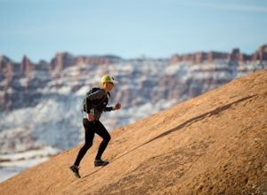
Trail Run Moab's Slickrock Trail
8.8 mi / 944 ft gainThe Slickrock Trail is well known in the mountain biking community and has put Moab on the map as one of the premier mountain biking destinations in the world. The good news for folks who don't mountain bike is that it's just as much fun to run or hike.It's a loop trail and very well marked with ...Read more -
Moab, Utah
Backpack the Lathrop Canyon Trail in Canyonlands
18 mi / 2130 ft gainAccess to this trailhead is a few miles south of the Islands in the Sky Visitor Center in Canyonlands National Park. An easy drive from Moab or Interstate 70. Remember to get permits and check in with the rangers if camping. If just doing a day hike then no permits are needed. REMINDER: There is ...Read more -
Monticello, Utah
Hike Needle's Slickrock Foot Trail
2.4 mi / 200 ft gainThe trail weaves away from the highway following cairns. I did the loop counter-clockwise to hit all the viewpoints first. The first part of the trail offers stellar views of the Needles behind you.All the viewpoints are well marked by trail signs. The first viewpoint veers off to the right and t...Read more -
Monticello, Utah
Backpack to Chesler Park, Canyonlands NP
5.013 mi / 600 ft gainThe first draw of this adventure is the roadtrip to the trailhead itself. Set out pre-dawn from Moab, UT and head 77 miles south and west to the Needles District Visitors Centre on Utah 211. En route you'll pass Newspaper Rock, a treasured collection of pictographs well worth the detour if you're...Read more -
Monticello, Utah
Hike the Confluence Overlook
4.010.4 mi / 220 ft gainThe Green River starts in Wyoming and flows 730 miles before joining the Colorado River in Utah. Confluence Overlook Trail is located in the northern parts of the Needles district of Canyonlands National Park. At the southwest edge of the parking area, you will see where the trail starts. The tra...Read more -
Moab, Utah
Hike the West and East Rim Loop at Dead Horse Point
5.04.98 mi / 928 ft gainThis is a 5.5 mile loop, if you opt out of the several in/outs to various lookout points, which extend the hike to about 10 miles -- do not opt out! These lookout points get better and better. However, you can skip the only modest part of the trail, where the West and East rims of the trail meet...Read more -
Monticello, Utah
Hike Peekaboo Trail to Salt Creek Canyon
10 mi / -60 ft gainTrail Description This adventure starts at Squaw Flat Trailhead A in the Needles District of the Canyonlands. Get there early to claim a parking spot, as there are several trails in the area, and you will want to see the colors change in the rock formations as the sun rises in front of you on you...Read more -
Monticello, Utah
Joint Trail in the Canyonlands Needles District
5.019.06 mi / 3028 ft gainA large part of the grandeur of Canyonlands National Park is the vast barren vista at Island in the Sky, but no visit to Canyonlands would be complete without the intimate and immersive desert experience that the Needles District offers. Drive two hours southwest of Moab away from cell phone rece...Read more -
Moab, Utah
Hike the Big Horn Overlook Trail
4.03.5 mi / 0 ft gainAs a pet owner, you probably know that bringing your pooch along on your National Park adventures can be a frustrating experience. Most of our Parks do not allow pets on trails, and for several good reasons, but if you bring your dog(s) with you to Moab country, you’ll be happy to know that there...Read more -
Moab, Utah
Hike the White Rim Overlook
3.01.8 mi / 160 ft gainIf you're entering Canyonlands from the north (Island in the Sky side), don't miss this quick hike! This hike is fairly level the entire way and not too long—perfect for kids. Follow Grand View Point Road down towards the middle of the park, then turn left at the sign for the White Rim Overlook. ...Read more -
Moab, Utah
Hike the Gooseberry Trail in Canyonlands
4.04.2 mi / 1548 ft gainThis hike will take your breath away—literally. You will experience stunning views of Canyonlands National Park while literally stepping down the side of a cliff. Once you get to the valley floor, continue on to the smaller cliffs of the White Rim. To get there, follow Grand View Point Road down ...Read more

