San Juan County, Utah
Looking for the best running in San Juan County? We've got you covered with the top trails, trips, hiking, backpacking, camping and more around San Juan County. The detailed guides, photos, and reviews are all submitted by the Outbound community.
Top Running Spots in and near San Juan County
-
Moab, Utah
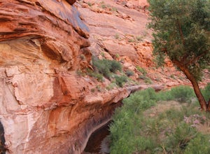
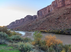
Camp in Hunters Canyon
5.02 miMoab has become an increasingly popular adventure destination over the last few years. Its proximity to Arches and Canyonlands National Parks make it a popular spot for beginning day hikers as well as seasoned canyoneers, bikers, and climbers. It comes as no surprise that it can be a hassle to fi...Read more -
Moab, Utah
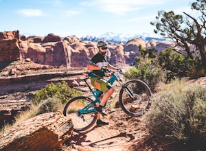
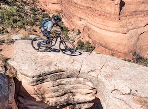
Mountain Bike Amasa Back / Cliffhanger Trail
9.1 mi / 1410 ft gainAmasa Back / Cliffhanger is the primary entry point into one of the most fantastic mountain biking trail networks in the Moab area, connecting into Captain Ahab, Rockstacker, HyMasa, and Jacksons Trails. To get there take Kane Creek Blvd. from Moab into Kane Springs Creek Canyon. The road will qu...Read more -
Moab, Utah
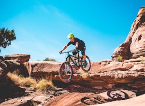
Mountain Bike HyMasa Trail
3.2 mi / 755 ft gainHyMasa trail is the latest in the fantastic Kane Creek Mountain Biking trail network and is now the preferred route for connecting to the iconic Captain Ahab Loop, allowing riders to bypass larges portions of the Amasa Back / Cliffhanger Jeep trail. To get there take Kane Creek Blvd. from Moab in...Read more -
Moab, Utah
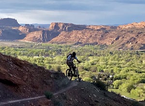
Mountain Bike the Pipe Dream Trail in Moab
6 mi / 730 ft gainThere are multiple trailheads to access the Pipe Dream trail in Moab. This time we chose to start at the Jackson Street parking area and rode the pipeline trail south for approximately 3-miles. This section of trail is a 2-track road that follows, you guessed it, the gas pipeline. It climbs aroun...Read more -
Moab, Utah
Camp at Williams Bottom Campground in Moab
4.0Williams Bottom Campground and its 17 first-come first-serve campsites are tucked into the side of the Colorado River Canyon on Utah Highway 279 aka "Potash Road" just 15 minutes from downtown Moab. It is commonly known as one of *the* rock climbing campground on the west side of Moab, as there a...Read more -
Moab, Utah
Camp at Sand Flats Recreation Area in Moab
3.0The rock domes and slickrock around the campsites provide fun for young and old to scramble on, or simply enjoy the sunrise or sunset. Located just outside of the town of Moab Utah is the Sand Flats Recreation Area. The area is managed jointly by the Bureau of Land Management and Grand County Uta...Read more -
Moab, Utah
Trail Run Moab's Slickrock Trail
8.8 mi / 944 ft gainThe Slickrock Trail is well known in the mountain biking community and has put Moab on the map as one of the premier mountain biking destinations in the world. The good news for folks who don't mountain bike is that it's just as much fun to run or hike.It's a loop trail and very well marked with ...Read more -
Moab, Utah
Hike the Big Horn Overlook Trail
4.03.5 mi / 0 ft gainAs a pet owner, you probably know that bringing your pooch along on your National Park adventures can be a frustrating experience. Most of our Parks do not allow pets on trails, and for several good reasons, but if you bring your dog(s) with you to Moab country, you’ll be happy to know that there...Read more -
Moab, Utah
Camp Goose Island Campground
4.7Many of the campground in Arches National Park are extremely hard to book and almost impossible to get walk-in spots during the peak season in this area. However, the Colorado River near Moab has an abundance of beautiful campsites along its shore. Highway 128 heads northwest out of Moab followin...Read more -
Moab, Utah
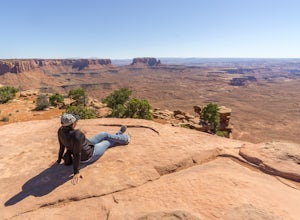
Hike to Murphy Point
4.33.4 mi / 320 ft gainMurphy Point, found in the Island In The Sky district of Canyonlands NP, takes hikers on a mesa that ends at an overlook with sweeping vistas over Murphy Basin, the White Rim, and Green River. If you're looking to get away from the tourists, then head to this quiet and often overlooked trail.The ...Read more -
Moab, Utah
Mountain Bike Bull Run Trail
5.5 mi / 1000 ft gainBull Run has a parking lot on the Little Canyon / Gemini Bridges Rd. It's a 5.5 mile downhill trail that ends at the Lower Getaway Trail. Bull Run Trail follows the north side of Bull Run Canyon and provides scenic views with a mix of slick rock, sand, and flowing trails. Most people will park at...Read more -
Moab, Utah
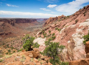
Syncline Loop in Canyonlands NP
5.07.87 mi / 1955 ft gainBe advised, the NPS signs and maps that warn of a very difficult hike ahead are not hyperbole, as I thought at first. This hike is a loop around the famous Upheaval Dome on an unmaintained trail that leads you down over 1500 feet into the canyon, close to the Green River, then climbs back up 1500...Read more -
Moab, Utah
Bike the Big Mesa Trail
3.3 mi / 400 ft gainBig Mesa trail is the jewel of the Navajo Rocks trail system, containing all of the awesome mountain biking features one comes to expect in Moab, from slickrock to sand chutes with epic views of the terrain. Located off Utah Highway 313 at the Navajo Rocks Trailhead parking lot, 19 miles from dow...Read more -
Moab, Utah
Bike the Ramblin' Trail
3.3 mi / 200 ft gainThe Ramblin' Trail, part of the Navajo Rocks trail system, is a beginner to intermediate mountain biking trail with a great mix of slickrock, dirt trails, and some sand that features excellent views of hoodoos, Navajo Sandstone, and the general Colorado River watershed redrock. Located off Utah H...Read more

