San Juan County, Utah
Looking for the best hiking in San Juan County? We've got you covered with the top trails, trips, hiking, backpacking, camping and more around San Juan County. The detailed guides, photos, and reviews are all submitted by the Outbound community.
Top Hiking Spots in and near San Juan County
-
Moab, Utah
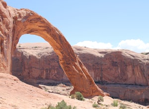
Corona Arch Trail
4.72.32 mi / 525 ft gainThis is an easy 2.3-mile hike to an amazing arch in Moab that ISN'T in Arches National Park. If you have every seen any “arch swing” videos this is where its done! Hangout under this massive arch without much of a crowd. This should only take a couple of hours round trip depending on hiking speed...Read more -
Moab, Utah
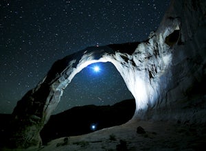
Night Photography at Corona Arch
5.03 miFirst and foremost: Don't attempt to climb the arch at night. It's potentially unsafe and the BLM has banned roped activities meaning that you would have to go ropeless. Save this activity for the daytime or avoid it altogether. This is a quick 1.5 mile one-way hike to the arch. The trail is well...Read more -
Moab, Utah
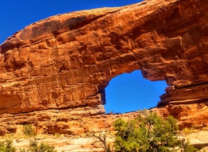
Hike to Jeep Arch
4.04 mi / 1015 ft gainJeep arch is located up the very scenic Culvert Canyon just outside Moab, UT. When coming into Moab from the north turn right onto UT 279/Potash Road and drive about 10.2 miles along side the Colorado river. You will come up to a pull out area on the right side of the road, near a large culvert u...Read more -
Moab, Utah
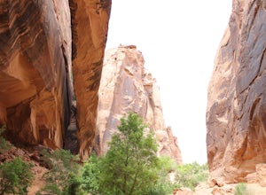
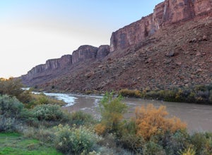
Grandstaff Canyon
4.34.34 mi / 1335 ft gainThe Grandstaff Canyon trail is 2.4 miles to Morning Glory Bridge and can take anywhere between 3-5 hours round trip. Grandstaff Canyon is nestled right along the Colorado River in Moab, UT. This easy hike takes you to the 6th longest natural bridge in the United States, Morning Glory Bridge. Brea...Read more -
Monticello, Utah
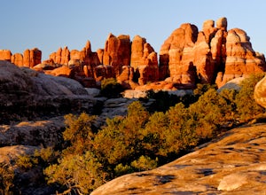
Hike Chesler Park and Joint Trails, Canyonlands NP
4.510 mi / 1755 ft gainThis world class hiking route circumnavigates Chesler Park by way of open meadows, slots, subterranean alcoves, stairways and slick rock.Begin at the Elephant Hill Trailhead and head south following signage for the Joint Trail / Chesler Park along the way. Once you arrive at Chesler Park turn lef...Read more -
Monticello, Utah
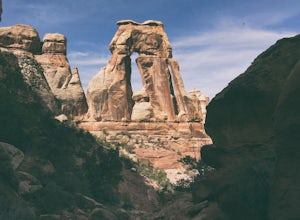
Hiking Druid Arch
5.010.28 mi / 1594 ft gainImportant Note: Druid Arch is located on the eastern side of Canyonlands National Park in the Needles District. It is not located at the main entrance to the park. Stop by the Needles Visitor Center and pick up a map. Your starting point, Elephant Hill Trailhead is then located 6.3 miles west of ...Read more -
Moab, Utah
Camping at Granstaff Campground
5.0Granstaff Campground has 17 campsites available, which are first come, first served. The sites are $15 a night per vehicle. The campground is a little limited and doesn't have running water, so bring your filter or head into town and pick up supplies.During the day, you can easily make your way t...Read more -
Moab, Utah
Camp Goose Island Campground
4.7Many of the campground in Arches National Park are extremely hard to book and almost impossible to get walk-in spots during the peak season in this area. However, the Colorado River near Moab has an abundance of beautiful campsites along its shore. Highway 128 heads northwest out of Moab followin...Read more -
Moab, Utah
Hike to Murphy Point
4.33.4 mi / 320 ft gainMurphy Point, found in the Island In The Sky district of Canyonlands NP, takes hikers on a mesa that ends at an overlook with sweeping vistas over Murphy Basin, the White Rim, and Green River. If you're looking to get away from the tourists, then head to this quiet and often overlooked trail.The ...Read more -
Moab, Utah
Hike the Neck Spring Trail
5.8 mi / 260 ft gainWith minor changes in elevation, a couple easy scrambles and the opportunity to find your route by cairns, the Neck Spring Trail is the perfect way to get acquainted with Island in the Sky area of Canyonlands National Park.Starting at the Shafer Canyon Overlook parking lot, the Neck Spring trail ...Read more -
Moab, Utah
Hike to Castleton Tower
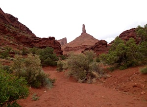
5.04 mi / 300 ft gainCastleton Tower is a popular destination for rock climbing when in the Moab area. However, if you are not a rock climbing, you can still enjoy the scenery of the tower and the surrounding desert. Located on BLM land, there are several access trails off the La Sal Loop road. You can't miss the tow...Read more -
Moab, Utah
Mesa Arch
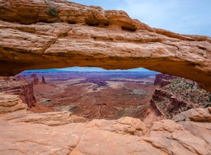
4.50.74 mi / 164 ft gainThis is an easy 0.6 mile loop. The hike takes you out to Mesa Arch, which is one of the most famous structures of Canyonlands National Park. If you're out with your camera, you can get amazing shots of the arch with the rugged canyon as your backdrop. Some of the best photos of the arch are at s...Read more -
Moab, Utah
Parriott Mesa Trail
2.83 mi / 981 ft gainParriott Mesa Trail is an out-and-back trail that takes you past scenic surroundings located near Moab, Utah.Read more -
Moab, Utah
Hike the Aztec Butte Trail
4.52 mi / 500 ft gainThe Aztec Butte Trail is a two pronged out and back trail for a total of two miles. The trail is single track and easy to follow. After a third of a mile the trail splits. To the left, a trail takes you to the top of a small mesa. There is an informative sign marking the way. On the other side of...Read more -
Moab, Utah
Park Avenue Trail
4.21.83 mi / 318 ft gainFrom the Park Avenue Trail parking area, you can walk up towards the lookout and admire the beauty, or you can hike down the steep path towards the canyon. The trail takes you down the wash to Courthouse Towers. You can either hike round trip to Courthouse Towers and back, or have someone drop yo...Read more -
Monticello, Utah
Backpack Salt Creek
33 mi / 1000 ft gainThe Needles District of Canyonlands receives 6 times as many backpackers as its more popular neighbor across the Colorado River, Island in the Sky. The Needles has an excellent trail network that is incredibly diverse, featuring amazing rock features as well as grassy meadows and savannahs. Whil...Read more

