San Juan County, Utah
Looking for the best chillin in San Juan County? We've got you covered with the top trails, trips, hiking, backpacking, camping and more around San Juan County. The detailed guides, photos, and reviews are all submitted by the Outbound community.
Top Chillin Spots in and near San Juan County
-
Moab, Utah
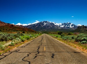
Drive through Scenic Castle Valley
5.0Going west on Highway 128 towards Moab, take a left onto La Sal Loop Road. And you're there! To get back to Highway 128, simply turn back on the same road. You can also take a right onto Porcupine Ranch Road, meeting at La Sal Loop Road again, eventually reaching Highway 128.During this drive, yo...Read more -
Moab, Utah
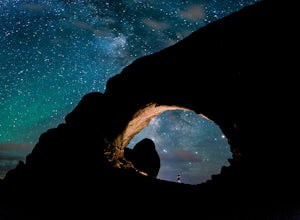
Photograph the Milky Way at North Window Arch
4.7Arches National Park is a must see for all photographers, but especially for astrophotography. Many of the most common places to shoot are balanced rock, and Delicate Arch and there's a good reason, these are beautiful places. North Window Arch is much less common, and even on a moonless night,...Read more -
Moab, Utah
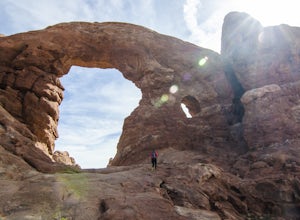
Window Arch Loop
5.01.14 mi / 62 ft gainTo get to the trailhead: After entering the park, keep driving along the main road until you see signs for The Windows Area (just past the Balanced Rock and a little over 9 miles from the Visitor Center). Follow this road until it ends in a parking lot and you see the arches to your right. The ...Read more -
Moab, Utah
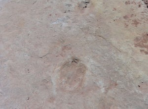
Explore the Willow Springs Dinosaur Tracks
4.0I'm always find dinosaur tracks fascinating. Willow Springs has a few cool tracks not as defined as others but definitely noticeable. There is also an interpretive sign describing the tracks installed by the Bureau of Land Management. To find the tracks, drive north on 191. Over the Colorado Rive...Read more -
Lone Mesa Group Gampground Road, Utah
Camp at Lone Mesa Campground
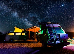
Lone Mesa Campground off Utah Highway 313, 8 miles from Highway 191, and 20 miles from Moab serves as an excellent basecamp for accessing the fantastic Navajo Rocks mountain bike trail system, Dead Horse State Park, and Canyonlands National Park. In fact, the Big Mesa trail goes right through the...Read more -
Moab, Utah
Camp at Willow Springs Trail
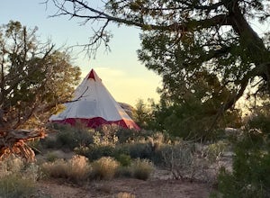
4.0Willow Springs Trail is state-owned land located 13 miles north of downtown Moab Utah. The state provides some vault toilets and port-o-lets throughout the area, but there are no designated campsites or fire rings. Along the main road, there are plenty of large flat spots that people with RV's or...Read more -
Moab, Utah
Explore the Halfway Stage Station
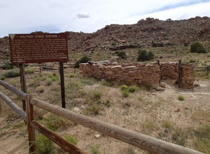
The Halfway Stage Station is a ruin site that is located off of Mill Canyon rd. This station served as the half way mark between Moab and Thompson which is where the train station was. It was 35 miles between Moab and Thomson so travelers would stop for lunch on there way to or from Thompson. The...Read more -
Mineral Canyon Road, Utah
Camp along the White Rim Road in Canyonlands NP
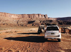
5.0100 miWow where to start… White Rim is one of those places where after the first day you will forget you are even on Earth anymore. The unreal views just don’t stop either. Every turn opens up to another amazing scene, massive canyon or beautiful vista. Make sure to take a dip in the Green River if ...Read more -
Cisco, Utah
Off Road to the Top of The World
13.2 mi / 2000 ft gainThe off road trail called Top of the World is a dirt road meant for *OFF ROAD VEHICLES ONLY*. All wheel drives jeeps and trucks are most common on this route but it is frequented by ATV and Dirt Bike users as well. If you elect to hike this route be mindful of their presence and give off-road veh...Read more -
Wayne County, Utah
Canyoneering High Spur Canyon
5 miFrom Moab, the drive to the canyon is approximately 4 hours long and much of it is on sandy or rocky dirt roads so it’s best to drive a 4x4 vehicle with good clearance. Drive past Hans Flat Ranger Station on the west side of Canyonlands National Park and make your way to the trailhead on Deadman’...Read more

