Rockville, Utah
Top Spots in and near Rockville
-
Dammeron Valley, Utah
Hike Jenny's Canyon in Snow Canyon State Park
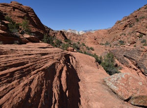
3.50.3 mi / 42 ft gainTo get here from St George, you take Bluff Street heading north until you reach the Snow Canyon Parkway exit that heads west. Follow this road until you reach Snow Canyon Drive, turn right here. This road will take you into the south entrance of the park. You will come upon a small fee station wh...Read more -
Ivins, Utah
Hike to the Johnson Canyon Arch in Snow Canyon State Park
5.02 mi / 10 ft gainNote: the Johnson Arch Trail is closing March 15, 2019 and will not re-open until September 14, 2019Johnson Canyon Arch is an out-and-back trail of about 2 miles round trip length that crosses beds of volcanic rock and follows a creek to a large arch and towering canyon views. There is negligible...Read more -
St. George, Utah
Hike the Lava Flow Trail
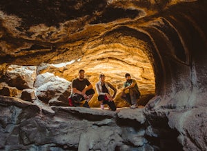
5.01.5 mi / 400 ft gainFrom the parking area, the trail travel west directly into the lava field. This is evident by the sharp black rocks the trail travels through. Watch for the first lava tube on the left. All lava tubes have a steep short descent down in to explore a bit but the tubes are not deep and could be d...Read more -
Dammeron Valley, Utah
Explore the Petrified Sand Dunes
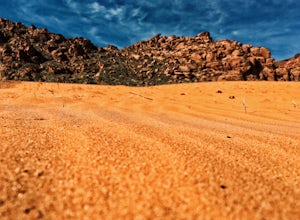
5.0Snow Canyon is only 15 minutes from St. George, Utah and has so many neat areas to explore. A favorite of mine is to climb around on the petrified dunes. These are located in the middle of the park right off of the road. There is a trail leading from the parking lot for about 1,000 feet to the du...Read more -
Dammeron Valley, Utah
Explore the Sand Dunes in Snow Canyon State Park
3.50.5 miTo get to Snow Canyon State Park from St George, you take Bluff Street heading north until you reach the Snow Canyon Parkway exit that heads west. Follow this road until you reach Snow Canyon Drive, turn right here. This road will take you into the south entrance of the park. You will come upon a...Read more -
Ivins, Utah
Hike Padre Canyon
3 mi / 700 ft gainMany people access the Padre Canyon hike in the Red Cliffs Desert Reserve from the south, which has a parking pull-over just south of the Tuacahn Center main gate on Tuacahn Drive. The trail starts from the southwest corner, passing through a fence. Follow the trail around a prominent butte. Once...Read more -
Dammeron Valley, Utah
Snow Canyon Overlook via Red Mountain Trail
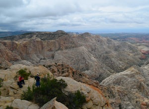
4.74.65 mi / 525 ft gainWhile the trail to the top is mediocre, the views once you get there are absolutely stunning, making for an amazing hike. The hike begins at the Red Mountain Trailhead, north of Snow Canyon State Park. This trail is very rock and sandy, without much variety in landscape along the way. During the...Read more -
Brian Head, Utah
Alpine Pond North Loop
1.22 mi / 79 ft gainAlpine Pond North Loop is a loop trail that takes you by a lake located near Cedar City, Utah.Read more -
Kanab, Utah
Visit the Gunsmoke Movie Set
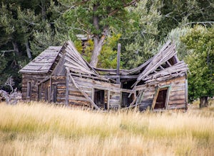
4.0The television series of Gunsmoke was an American classic. 635 episodes aired on prime time television over the course of twenty years, from 1955 to 1975. The movie set was the largest set constructed in the Kanab area. After the filming ended, the buildings were not maintained and became heav...Read more -
Duck Creek Village, Utah
Explore the Mammoth Cave Lava Tubes
3.00.4 mi / 100 ft gainFrom the USFS website: "Mammoth Cave, at 8050 feet in elevation opens to one of the largest lava tubes in Utah with over 2200 feet of passages. Formed by cooling lava and flowing water, Mammoth Cave is part of the Markagunt Plateau. Geologists believe that some of this lava is only several thous...Read more -
Brian Head, Utah
Hike the Brian Head Loop Trail
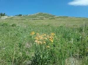
0.2 miDrive to the peak on county road 47 to the parking area. Hike around the peak and admire the beautiful views of the mountains and the resort below. Be sure to take pictures of the abundant wildflowers around the peak. The drive to the peak is very scenic.Read more -
Cedar City, Utah
Hike the Hoodoo Loop Trail in Dixie National Forest
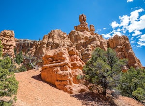
5.00.3 miHoodoo's are unique rock formations formed over many years by erosion. In this region, the hoodoos are formed through a process called frost wedging. This is the process of repeated freeze thaw cycles. As snow melts the water seeps between the cracks in the rocks then freezes at night when the...Read more -
Brian Head, Utah
Canyoneering Benson Creek
2 mi / 200 ft gainDisclaimer: Canyoneering is a dangerous and technical activity. Don’t enter any canyon without the skills to match it, or the knowledge to navigate it. Benson Creek is a pleasant little spot for families to hike a waterfall (Hidden Haven Falls), or a fantastic spot for canyoneers to rappel some w...Read more -
Washington County, Utah
Rock Climbing St. George Utah
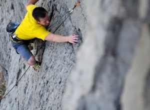
The Utah Hills areas of climbing are mostly limestone. Some of the best quality rock in the country. There are many areas here that are still being developed. The climbing style is sport climbing and the skill level needed is from beginner to expert, but to enjoy the area to its fullest interme...Read more -
37.475289,-112.240302
Hike Bryce Canyon's Riggs Spring Loop
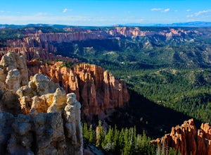
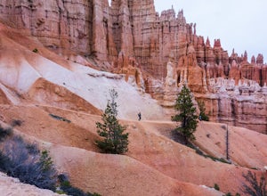
5.08.71 mi / 2044 ft gainBryce Canyon National Park in Utah is a spectacular place. It really has to be seen to be believed. Some of the most scenic parts of Bryce are easily accessible by the average visitor via car-accessible overlooks. However, if you're not into crowds or want to hike/backpack in Bryce...there are so...Read more -
Kane County, Utah
Run the Bryce Canyon Traverse
1.030.3 mi / 6600 ft gainThe Bryce Canyon Traverse is a point-to-point run covering over 30 miles from Rainbow Point at the southern end of the park to Sunrise Point at the North. The majority of the run is on the remote Under-the-Rim Trail where you might pass the occasional backpacker, but won't find a tourist group f...Read more

