Utah
Looking for the best photography in Utah? We've got you covered with the top trails, trips, hiking, backpacking, camping and more around Utah. The detailed guides, photos, and reviews are all submitted by the Outbound community.
Top Photography Spots in and near Utah
-
Brian Head, Utah
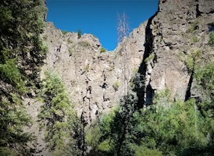
Canyoneering Benson Creek
2 mi / 200 ft gainDisclaimer: Canyoneering is a dangerous and technical activity. Don’t enter any canyon without the skills to match it, or the knowledge to navigate it. Benson Creek is a pleasant little spot for families to hike a waterfall (Hidden Haven Falls), or a fantastic spot for canyoneers to rappel some w...Read more -
Kanab, Utah
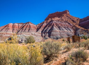
Explore Pahreah Ghost Town
5.0Pahreah was a townsite established along the Escalante River in 1870's. The town grew to include a general store, church, and enough homes to house 47 families at its peak. Due to the close proximity to the Escalante River, the town was flooded every year from 1883 to 1888, washing away crops and...Read more -
Salt Lake City, Utah
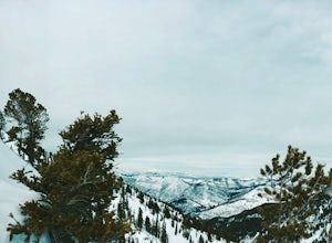
Backcountry Ski Days Fork
3.2 miDays Fork is on the south side of Big Cottonwood Canyon behind the Spruces parking lot. The trail head begins on the south west corner of the parking lot. The approach to Days Fork is long, but gradual. Continue south along the skin track until you reach the end of the Days Fork Basin. Here you c...Read more -
Duck Creek Village, Utah
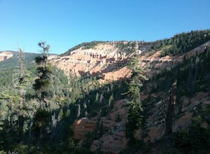
Hike the Cascades Trail in Dixie National Forest
1.2 mi / 137 ft gainHiked the cascades trail from the parking lot through a forest of spruce trees and many interesting wildflowers. The trail has good views of the National Forest and Zion National Park in the distance. The trail has some elevation gain but not too bad. The waterfall is rather small but a refreshi...Read more -
Sevier, Utah
Cave of 100 Hands Trail
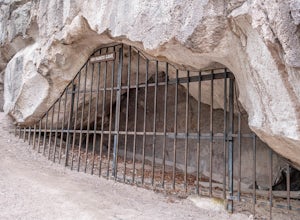
0.5 mi / 50 ft gainThe Cave of 100 Hands is a fascinating archeological/historical site that is easy all-ages and strollers. Over a thousand years ago, the valleys along what is now Interstate 70 near Sevier, Utah were home to the largest community of Fremont Indians ever discovered, and the Cave of 100 Hands has s...Read more -
Moab, Utah
View the Petroglyphs at Birthing Rock
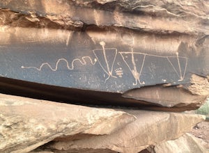
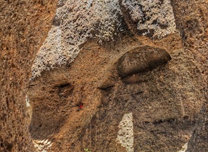
5.00.1 mi / 0 ft gainThis roadside boulder is just a short ride down a dirt road from Moab. From the McDonalds in Moab, head west down Kane Creek Drive. You will pass a few BLM and private campgrounds as well as various trailheads. The road will eventually become graded dirt. Follow the road until you see an obvi...Read more -
Millard County, Utah
Bouldering at Ibex
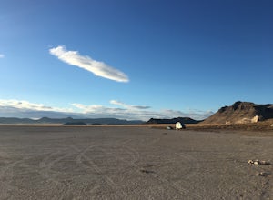
1.0Climbing at Ibex is a unique experience and is located in, quite literally, the middle of nowhere. The easiest way to get there is to take Highway 50 in Eastern Utah. If you're heading west, you'll take a left turn around mile marker 38 or 39. If you're heading east, you'll take a right turn. At ...Read more -
Lake Powell, Utah
Boat-In Camp at The Rincon in Lake Powell
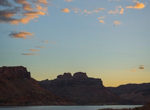
To get to The Rincon, you will first want to park your car and rent a boat (or bring your own power boat) at Bullfrog Marina. The marina does rentals for everything from houseboats to power boats to jet skis and kayaks/SUP boards. For this adventure, I recommend either a houseboat or a power boat...Read more -
Marble Canyon, Utah
Hike the Buckskin Mountain Passage from Stateline Campground on the Arizona Trail
8 mi / 1400 ft gainDepending how you approach this 800 mile trail, I did the first 4 miles or last 4 miles as an out and back from Stateline Campground on the Utah/Arizona state line and the border of Vermilion Cliffs National Monument. This section of the trail does not pass through Vermilion Cliffs N.M. b...Read more -
Kamas, Utah
Backcountry Ski Mt. Watson in the Uinta Mountains
Mt. Watson is a beauty. It is one of the tallest peaks directly outside of the High Uintas Wilderness area and has a stunning East face that is very steep and littered with cliff bands. Many people hike around Mt. Watson in the summer, when the Mirror Lake Highway is open and the trailhead is eas...Read more -
Alta, Utah
Spring Backcountry Ski Alta Ski Area
5 mi / 1800 ft gainStill have the skiing itch but it's late in the spring and the resorts have closed and the other backcountry skiing areas have melted? No problem, just head up to Alta Ski Area and get some amazing backcountry corn skiing laps in. Drive up Little Cottonwood Canyon all the way to the top and park...Read more -
Lake Powell, Utah
Hike Moqui Canyon
5.011.1 mi / 1614 ft gainHidden in Moqui Canyon is an ancient petroglyph site, with pictures of animals such as bighorn sheep. The long, shallow alcove hosting the petroglyphs was once an Ancestral Pueblo dwelling.Read more -
Park City, Utah
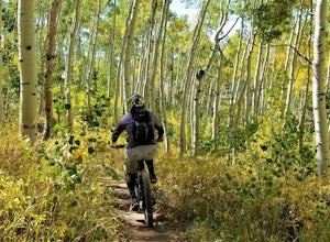
Mountain Bike Deer Valley, Park City
5.07 mi / 1200 ft gainIf you’re a downhill bomber, you came to the right place. The resort has lift-served singletrack of every difficulty with machine-built table tops, berms, tree runs and technical obstacles. If cross country is more your scene, there are miles of forested climbs, beautiful views and enjoyable down...Read more -
Fountain Green, Utah
Climb at Maple Canyon
Regardless on whether you're northbound / southbound, jump on I-15 and take exit 225 in Nephi. Head east. Continue on this road (100 N) for 14 miles. Then, turn right on 400 S and after a 1/2 mile turn left onto West Side Road. This road will take you along a bunch of farmlands. After about 6 mil...Read more -
Moab, Utah
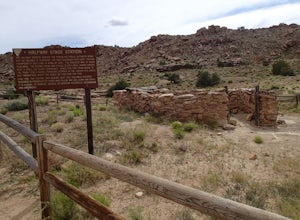
Explore the Halfway Stage Station
The Halfway Stage Station is a ruin site that is located off of Mill Canyon rd. This station served as the half way mark between Moab and Thompson which is where the train station was. It was 35 miles between Moab and Thomson so travelers would stop for lunch on there way to or from Thompson. The...Read more -
St. George, Utah
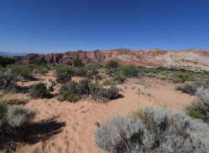
Hike the Whiterocks Trail
1.75 mi / 400 ft gainThis trail starts from a parking area just off Route 18. Follow the obvious trail with the whiterocks to the right and views of Snow Canyon. The trail descend steep, deep sand path until you reach some petrified sand dunes. Great photo opportunities here. This section is short lived as you co...Read more

