Utah
Looking for the best photography in Utah? We've got you covered with the top trails, trips, hiking, backpacking, camping and more around Utah. The detailed guides, photos, and reviews are all submitted by the Outbound community.
Top Photography Spots in and near Utah
-
Monticello, Utah
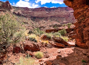
Backpack Salt Creek
33 mi / 1000 ft gainThe Needles District of Canyonlands receives 6 times as many backpackers as its more popular neighbor across the Colorado River, Island in the Sky. The Needles has an excellent trail network that is incredibly diverse, featuring amazing rock features as well as grassy meadows and savannahs. Whil...Read more -
Sevier, Utah
Hike Joe Lott Trail #051
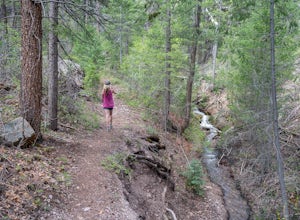
6.5 mi / 3600 ft gainThe Joe Lott Trailhead starts at Castle Rock Campground and follows the Joe Lott Creek which has tall old growth trees to provide shade in the summer. Joe Lott Trail #051 is an out-and-back, so you can go as far as you like and turn around. We went 1.5 miles and had to cross the river 3-times. At...Read more -
Hurricane, Utah
Hike the Historic Babylon - Little Purgatory Loop
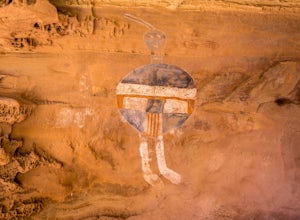
6 mi / 1000 ft gainThe trailhead has space for about three or four cars. Watch for an obvious gap in the cliffs very close to the trailhead, this is where you should park. Just before exiting the gap, look to the left for some interesting petroglyphs. The trail follows a dry wash through some heavy vegetation for a...Read more -
10230 East Little Cottonwood Lane, Utah
Cross Country Ski Alta Ski Area's Nordic Track
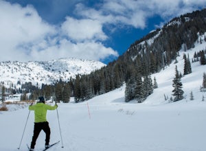
Drive up Little Cottonwood Canyon until the first entrance into Alta. Park in the Collins lift parking lot, throw your boots on, and head over to the nordic track. Its just next to the tow rope that runs through Albion Basin. Now thats left to do is to step into your skis and ski. The track has a...Read more -
Moab, Utah
Climb Wilson Arch
Wilson Arch is a common stop for people visiting the local national parks and Moab, but with some general climbing knowledge and gear you can make this into a longer outing. If coming from Moab, the arch is obvious on your left about 25 miles south. There is ample parking on both sides of the r...Read more -
Moab, Utah
Summit Elephant Butte
1.27 mi / 492 ft gainElephant Butte sits at 5653 ft. and is the highest point in Arches National Park. It requires two rappels using a 60m rope. In addition to this, it requires some short sections of low fifth class scrambling that can be difficult on wet rock. The approach starts at Garden of Eden trailhead. ...Read more -
Moab, Utah
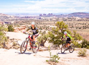
Bike the Ramblin' Trail
3.3 mi / 200 ft gainThe Ramblin' Trail, part of the Navajo Rocks trail system, is a beginner to intermediate mountain biking trail with a great mix of slickrock, dirt trails, and some sand that features excellent views of hoodoos, Navajo Sandstone, and the general Colorado River watershed redrock. Located off Utah H...Read more -
Moab, Utah
Rock Climb Dragonfly Canyon
5 mi / 400 ft gainThis canyon is a bit more advanced as it requires a mandatory swim and most likely a section of wet pot holes to surmount which, if dry, can also pose their own challenge. You will need standard canyoneering gear as well as two 60m ropes for the last rappel. Start by parking on a small pullout on...Read more -
Moab, Utah
Hike the Gooseberry Trail in Canyonlands
4.04.2 mi / 1548 ft gainThis hike will take your breath away—literally. You will experience stunning views of Canyonlands National Park while literally stepping down the side of a cliff. Once you get to the valley floor, continue on to the smaller cliffs of the White Rim. To get there, follow Grand View Point Road down ...Read more -
Moab, Utah
Descend MMI Canyon
3 mi / 700 ft gainFor this descent you will need to be comfortable with 4th class slick rock, have two 60m ropes, and an Arches National Park canyoneering permit along with your usual canyon kit. MMI Canyon can be accessed with 4WD/AWD as long as it has not rained. The pin on the map will take you to this locati...Read more -
Moab, Utah
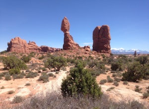
Balanced Rock Loop
0.55 mi / 62 ft gainBalanced rock is a short loop and can be done in a short amount of time. You can spend a few minutes walking around the rock and snap a few pictures with your family. Make sure to stay on the well marked trail in order to preserve the environment.Read more -
38.089236,-111.343124, Utah
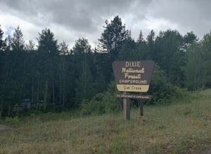
Camp at Oak Creek Campground
This campground is extremely easy to get to and is in a good location. It is located in the Dixie National Forest along Utah highway 12. The campground has a total of 9 spots most are good for small RV but nothing longer than 20ft. The campground has no electricity or water hookups but a water sp...Read more -
Moab, Utah
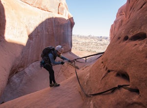
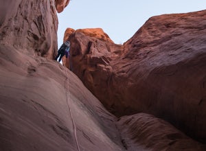
Rappel Big Horn Canyon
3.5 mi / 500 ft gainThis canyon requires an Arches Canyoneering Permit, two 60m ropes, 100 ft of webbing, and your normal canyoneering kit. To reach the parking for the canyon, drive five miles or so into Arches until you reach a bridge. Shortly after the bridge, there will be a pull-off to the left where you can ...Read more -
Moab, Utah
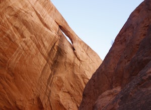
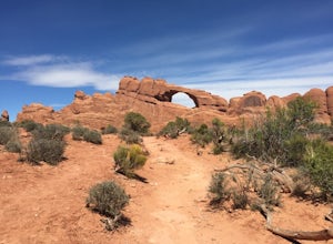
Skyline Arch
0.48 mi / 62 ft gainStarting from the parking you can see the arch. At the start of the trail there is a small sign with information about Skyline Arch. From here the trail is very straightforward and leads you up to the base of the arch. This hike may be short but it still gives you great views over Salt Valley and...Read more -
Moab, Utah
Descend Lost and Found Canyon
4 mi / 600 ft gainFor this descent you will need two 60 meter ropes, an Arches National Park canyoneering permit, be comfortable with 4th class slick rock, and have your usual canyoneering kit. This canyon does require some basic chimneying and canyoneering climbing techniques as well. The trailhead can be reache...Read more -
Sevier, Utah
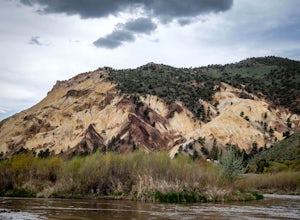
Photograph Big Rock Candy Mountain
As you head south on Hwy 89 south of I-70 in central Utah, you wind through a picturesque canyon along the Sevier River. As the canyon opens up, Big Rock Candy Mountain's caramel colored hillside comes into full view. The caramel color is a stark contrast to the other mountains covered in pinion ...Read more

