Utah
Looking for the best photography in Utah? We've got you covered with the top trails, trips, hiking, backpacking, camping and more around Utah. The detailed guides, photos, and reviews are all submitted by the Outbound community.
Top Photography Spots in and near Utah
-
Wayne County, Utah
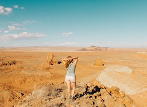
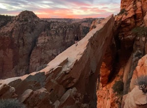
Hike Lower Cathedral Valley Overlook
2 mi / 150 ft gainNow most of the pictures you see from Capitol Reef are from cathedral valley. But not many take the time to get above the most photographed area of the park. Off of Hartnet Road, at mile 17.6 you will find a small dirt parking lot for the trailhead (were talking middle of nowhere, so no pit toile...Read more -
Hanna, Utah
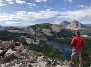
Hike to Cuberant Lake
6 mi / 1066 ft gainThe hike to Cuberant Lake is 3-miles with a couple of steeper sections, but for the most part, it is a flat hike. From the Pass Lake Trailhead, you will head west on the Lofty Lake Loop Trail. On this part of the trail, you pass through meadows with Bald and Reid Peaks in the background, which is...Read more -
Lone Mesa Group Gampground Road, Utah
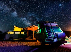
Camp at Lone Mesa Campground
Lone Mesa Campground off Utah Highway 313, 8 miles from Highway 191, and 20 miles from Moab serves as an excellent basecamp for accessing the fantastic Navajo Rocks mountain bike trail system, Dead Horse State Park, and Canyonlands National Park. In fact, the Big Mesa trail goes right through the...Read more -
Cedar City, Utah
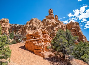
Hike the Hoodoo Loop Trail in Dixie National Forest
5.00.3 miHoodoo's are unique rock formations formed over many years by erosion. In this region, the hoodoos are formed through a process called frost wedging. This is the process of repeated freeze thaw cycles. As snow melts the water seeps between the cracks in the rocks then freezes at night when the...Read more -
Hildale, Utah
Water Canyon Arch (Eye of the Heavens)
9.61 mi / 1936 ft gain…Who doesn’t enjoy a hike that gives you views as if you’re on top of the world! I know I do, and this hike to Water Canyon Arch (Eye of the Heavens Arch) will do just that!There’s two ways of getting to the arch, but the route I took was the squirrel creek trail, to the Canaan mountain trail. On...Read more -
Provo, Utah
Hike to Scout Falls
2.8 mi / 675 ft gainStarting at a little over 7,300 feet, the Timpooneke Trailhead offers a beautiful alpine setting for starting your hike. Several trails originate from the same parking lot so you will want to make sure you get on the correct trail. The parking lot can also get quite full on summer days as people ...Read more -
Kane County, Utah
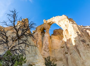
Hike to Grosvenor Arch
5.01.16 mi / 285 ft gainGrosvenor Arch is a sandstone double arch located in Grand Staircase-Escalante National Monument. The arch is named after Gilbert Hovey Grosvenor, a president of the National Geographic Society. To reach the arch, park in the trailhead parking lot off Last Chance Creek Road. The arches are vis...Read more -
St. George, Utah
Hike the Lava Flow Trail
5.01.5 mi / 400 ft gainFrom the parking area, the trail travel west directly into the lava field. This is evident by the sharp black rocks the trail travels through. Watch for the first lava tube on the left. All lava tubes have a steep short descent down in to explore a bit but the tubes are not deep and could be d...Read more -
Moab, Utah
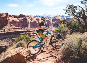
Mountain Bike Amasa Back / Cliffhanger Trail
9.1 mi / 1410 ft gainAmasa Back / Cliffhanger is the primary entry point into one of the most fantastic mountain biking trail networks in the Moab area, connecting into Captain Ahab, Rockstacker, HyMasa, and Jacksons Trails. To get there take Kane Creek Blvd. from Moab into Kane Springs Creek Canyon. The road will qu...Read more -
Salt Lake City, Utah
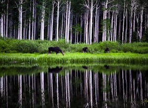
Photograph Wildlife at Willow Lake
2.2 mi / 629 ft gainWillow Lake has become my favorite spot in all of Utah. It feels so distant from civilization in the mountains, but is only a 25 minute drive from Salt Lake City. I have hiked to Willow Lake close to 10 times this year during different seasons, and have never seen more than 5 people on the trail...Read more -
Salt Lake City, Utah
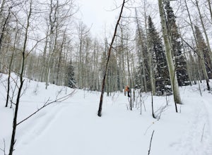
Backcountry Ski Short Swing, Mill D North
4 mi / 1900 ft gainDrive up Big Cottonwood Canyon until you reach the Spruces Campground on the right. You will park here and prep your gear for the day. Walk back out to the canyon road and cross the street to the trail head. As you hike up the trial, you'll pass some cabins, once you've passed all the cabins, you...Read more -
Lake Powell, Utah
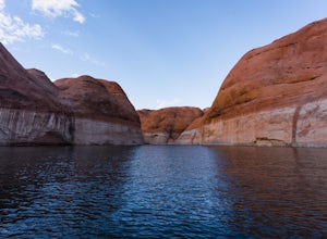
Boat Through Forbidding Canyon
Since Forbidding Canyon is at mile marker 50, it is about halfway between Wahweep and Bullfrog Marina, and is a good trip from either marina. It can get busy, so I recommend going early. Navigate your way to mile marker 50, and then look for the canyon. If you are coming from Bullfrog, it will b...Read more -
Springville, Utah
Maple Mountain (aka Spanish Fork Peak)
10.56 mi / 4524 ft gainThe trail starts out very easy, but keep an eye out for the fork in the trail at the creek. It's easy to miss. It's right at the metal bench that will be on the left. Cross the creek and continue another quarter mile or so when you'll notice another branch to your left. Keep going straight here a...Read more -
Hurricane, Utah
Zion Canyon Scenic Dr
5.012.7 miZion Canyon Scenic Drive is the main road through Zion NP. There is a fee to drive through the park, and it can only be seen via shuttle during the high tourist season. If doing the entire scenic drive, on Hwy 9 from I-15 to Mt. Carmel Junction, you will pass through the surrounding cities of H...Read more -
Brian Head, Utah
Canyoneering Benson Creek
2 mi / 200 ft gainDisclaimer: Canyoneering is a dangerous and technical activity. Don’t enter any canyon without the skills to match it, or the knowledge to navigate it. Benson Creek is a pleasant little spot for families to hike a waterfall (Hidden Haven Falls), or a fantastic spot for canyoneers to rappel some w...Read more -
Park City, Utah
Bike or Hike Park City's Mid Mountain Trail
5.022.8 mi / 4457 ft gainThe Mid-Mountain Trail is unique to Park City. It's an epic trail that connects Deer Valley, to Park City Mountain Resort, and Canyons Village. Traversing at approximately 8,300 feet elevation, the trail is comprised of 13 sections and is a 22.8 mile point-to-point ride from Deer Valley to Canyon...Read more

