Peoa, Utah
Top Spots in and near Peoa
-
Herriman, Utah
Drive Butterfield Canyon
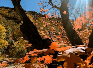
4.5Butterfield Canyon is a little-known canyon on the west side of Utah Valley. Beautiful any time of the year, it is especially beautiful in the fall—all the leaves changing colors! When you reach the marked location, turn onto Butterfield Canyon Road. Drive until you reach the end of the road (it...Read more -
Ogden, Utah
Waterfall Canyon
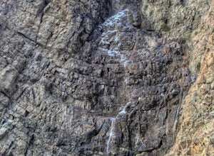
4.02.44 mi / 1394 ft gainWaterfall Canyon is one of the most popular hikes in the Ogden area. The trailhead is easy to find, just head east on 29th street until you hit the base of the mountains and the parking lot is on the right. There are plenty of parking spots and restrooms but sometimes the restrooms are locked. T...Read more -
Ogden, Utah
Malans Peak
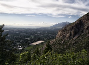
5.04.3 mi / 2129 ft gainYou can reach this trail either via 27th Street or 29th Street in Ogden, Utah. Get on one of those roads and then head east until you reach the mountain. On 27th St. there is some parking on the road with a sign reminding people to keep their dogs on leash. On 29th St. there is a large parking lo...Read more -
Herriman, Utah
Hike to Kennecott Copper Mine
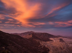
5.04 miFrom Salt Lake City go on UT-201W, then take Bacchus Highway all the way until the intersection with Butterfield Canyon Road. This is where you can park your car and follow the dirt road for roughly 2 miles until you come to a fork. One road from the fork leads to Middle Canyon and the other to t...Read more -
Tooele, Utah
Kayaking on the Great Salt Lake
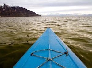
3.5Launch your kayak or SUP from the marina, which is located only 20 minutes from downtown Salt Lake City. You can go as long and far as you want. Some popular short destinations are to Black Rock (2 miles RT(40.725294, -112.227835)) or Pyrite Point (5 miles RT (40.758405, -112.191853). Neither are...Read more -
Tooele, Utah
Catch a Sunset at the Great Salt Lake Marina
Head west on I-80 and get off on the Saltair exit. You will drive past the music venue and into the Great Salt Lake state park. Right before the marina you will veer left onto a dirt road and this will take you right up to the black rock. Prepare yourself for the wonderful smell of the Great Salt...Read more -
Syracuse, Utah
Photograph the Famous Stump by the Antelope Island Causeway
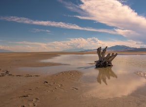
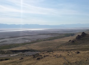
4.8If you've ever visited Antelope Island State Park, there is no doubt you've seen the stump. This dead, bleached focal point with it's gnarled branches stands out in the middle of the vast landscape of the Great Salt Lake. It is located on the South side of the causeway, approximately two miles fr...Read more -
Springville, Utah
Maple Mountain (aka Spanish Fork Peak)
10.56 mi / 4524 ft gainThe trail starts out very easy, but keep an eye out for the fork in the trail at the creek. It's easy to miss. It's right at the metal bench that will be on the left. Cross the creek and continue another quarter mile or so when you'll notice another branch to your left. Keep going straight here a...Read more -
Davis County, Utah
Hike Frary Peak Trail on Antelope Island
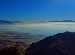
5.06.4 mi / 2030 ft gainThe Frary peak trail is the highest point of Antelope Island and can be found a short drive off of I-15 north on Antelope Drive near Layton. There is a fee to access the island, but well worth it. When you get to the island, head left along the east side of the island toward Fielding Garr Ranch. ...Read more -
Davis County, Utah
Hike the Frary Peak Trail
4.57 mi / 2050 ft gainThis is a fairly easy hike starting at the parking lot near the trailhead. You will encounter little or no obstacles on your hike, just a nice incline leading you to the highest point of the island.You will be able to see lots of buffalo roaming around most of the island on your way up. Be sure t...Read more -
Eden, Utah
Paper Airplane Trail
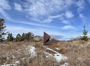
4.00.73 mi / 272 ft gainThe Paper Airplane Trail in Eden, Utah is a moderately challenging hiking trail that spans approximately 0.73 miles. The trail is known for its unique rock formations and panoramic views of the surrounding mountains. The trail begins at the North Ogden Divide Trailhead and ascends steadily, offer...Read more -
Ogden, Utah
Ben Lomond via North Skyline Trail
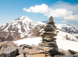
5.015.75 mi / 3671 ft gainThe trail starts in the Right Fork North Ogden Canyon near Liberty, Utah. Park in the main parking lot and then cross the road to the trailhead. You will see a sign at the beginning indicating that the Ben Lomond summit is 8.2 miles away. In the spring, it is quite difficult to make it all the ...Read more -
Utah County, Utah
Fifth Water Hot Springs from Rays Valley Trailhead
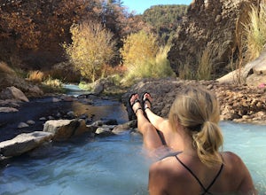
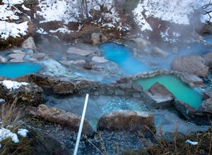
5.04.98 mi / 787 ft gainFifth Water Hot Springs from Rays Valley Trailhead is an out-and-back trail that takes you to a hot springs located near Spanish Fork, Utah. Dogs are permitted on this trail on-leash. If heading to the hot springs with your pup, please be respectful of others visiting the hot springs. Along this ...Read more -
Saratoga Springs, Utah
Photograph the Sunrise at Utah Lake
4.0Turn off Highway 68 onto a dirt road towards Utah Lake. You'll see a large sign on your left and a small hill with ATV trails in the distance on your right. Follow the dirt road straight down past the hill. After veering right you can park down fairly close to the water's edge. The dirt road is f...Read more -
Utah County, Utah
Diamond Fork (Fifth Water) Hot Springs
4.24.63 mi / 663 ft gainWhen you hike out to Diamond Fork aka Fifth Water hot springs, get ready for an amazing experience! The lower fall is visible from the main pool. If you want to continue to go further up the creek, you will run into the second fall, which is the most photogenic of them all. There are also two poo...Read more -
Springville, Utah
Rappel the Red Ledges
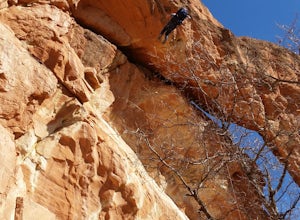
4.01 mi / 180 ft gainThis is a sweet spot to go rappelling near Spanish Fork, UT. It's located at the Red Ledges in Diamond Fork Canyon. There is a picnic area, grill and restrooms near the base. The unique formations are beautiful to hike around and fun to rappel down. The hike is pretty short, but steep. We did...Read more

