Ogden, Utah
Our rich mountain to metro personality derives from a unique balance of vibrant shopping, delicious dining and exciting nightlife with backyard access to year-round, heart-pounding outdoor recreation and the majestic beauty of the Wasatch Mountain Range. Ogden, Utah offers one-of-a-kind outdoor recreation and metropolitan delights throughout the year.
Top Spots in and near Ogden
-
Alta, Utah
Hike Mt. Superior and Monte Cristo
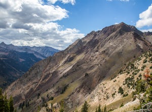
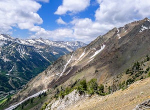
5.06.25 mi / 2500 ft gainMt. Superior, and its close neighbor, Monte Cristo, are two of the most iconic peaks in Little Cottonwood Canyon. Looming over Alta and Snowbird Ski resorts from the north side of the canyon, these two peaks dominate the Little Cottonwood skyline. Mt. Superior tops out at 11,132 feet, and Monte C...Read more -
Alta, Utah
Hike and Scramble Mount Superior
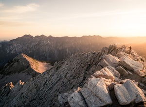
5.05 miThis is an intermediate to advanced hike. Scrambling up the ridge is more difficult but can be done by anyone with patience and a few maneuvering skills. It is best climbed in the summer months when the ridge is free of snow. However, it makes for a good winter climb for more technical experience...Read more -
Alta, Utah
Milky Way Astrophotography At Alta
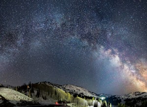
4.0Early spring is a unique time to photograph the Milky Way due to its low angle and the distinctive perspective of its galactic core. The low angle position of the Milky Way arc during the early morning hours, prior to dawn, allows for some striking panoramas, with the still snow-covered Wasatch M...Read more -
Alta, Utah
Ski Little Cottonwood Canyon
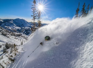
5.0It's no secret that Little Cottonwood Canyon (LCC) is home to some of the best skiing and snowboarding in the lower 48, if not North America. What many people are not aware of is the extremely easy and quick access from Salt Lake City.Enter the Dawn Patrollers. Skiers and snowboarders from Salt L...Read more -
10230 East Little Cottonwood Lane, Utah
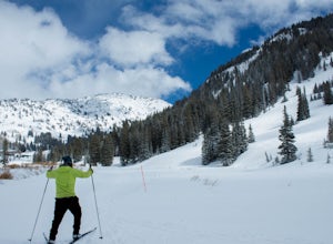
Cross Country Ski Alta Ski Area's Nordic Track
Drive up Little Cottonwood Canyon until the first entrance into Alta. Park in the Collins lift parking lot, throw your boots on, and head over to the nordic track. Its just next to the tow rope that runs through Albion Basin. Now thats left to do is to step into your skis and ski. The track has a...Read more -
Alta, Utah
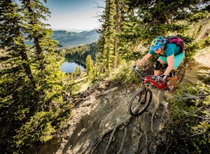
Mountain Bike Catherine's Pass
4.5 mi / 1200 ft gainThis ride isn't for the faint of heart. It's seriously tough. It's one of the most scenic and rewarding rides you'll ever do, though. The climbing is steep and the descents are rocky.Try to ride it early in the morning. Hikers frequent these trails. An early morning rip is the best way to keep fr...Read more -
Alta, Utah
Backcountry Ski Grizzly Gulch
1.5 mi / 1400 ft gainTo get to the Grizzly Gulch trailhead, drive up Little Cottonwood until you reach Alta Ski Resort. Keep left along the road and park in the upper Alta parking lot. Head up the cat track with all the cats and snowmobiles parked to the side. About 100 yards up, you'll take a left and head up the st...Read more -
Alta, Utah
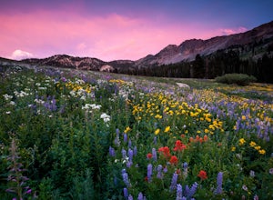
Albion Meadows Trail
4.92.86 mi / 696 ft gainAt Albion Basin, wildflowers you will see include lupine, Indian paintbrush, American bistort, sunflowers, fireweed, and many more! Drive to the very top of Little Cottonwood Canyon and park at the Albion Grill. There is a trail just behind the Grill that takes you through a variety of wildflowe...Read more -
Sandy, Utah
Hike and Climb the S. Ridge of Mt. Superior
4.54.5 mi / 1800 ft gainApproach: Start by parking on the side of the road just above the Snowbird Cliff Lodge. Then there will be some bushwhacking as you work your way up the southern slopes of Mount Superior following the path of least resistance until reaching the winter avalanche path under the south face and to th...Read more -
Sandy, Utah
Summit the Pfeifferhorn
5.09 mi / 3700 ft gainStarting at the White Pine Trailhead in Little Cottonwood Canyon, UT, hike southwest until reaching the junction to Red Pine Canyon. Take the trail that crosses the stream and continues west around the ridge. The trail will quickly turn south and begin to gain elevation. Continue west as you pass...Read more -
Sandy, Utah
Hike to Maybird Lakes (Maybird Gulch)
5.07.5 mi / 2000 ft gainThis out and back hike begins at the same trailhead as White Pine Lake and Red Pine Lake which are both a lot more popular that Maybird Lakes. You follow the trail to Red Pine Lake for the first 2.5 miles and then there is a bridge and you follow that across the river to get on the trail to Maybi...Read more -
Sandy, Utah
Camp at the Cottonwood Ridgeline
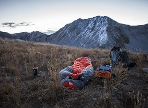
Begin at the White Pine Trailhead in Little Cottonwood Canyon. Follow the trail up toward Red Pine Lake. The trail gets a little hard to follow after the lake, but find your way up to the ridge between Pfeifferhorn and White Baldy. Set up camp and enjoy a night in the high mountains. Morning will...Read more -
Sandy, Utah
Winter Hike the Pfeifferhorn
5.09 mi / 3600 ft gainRising to a height of 11,326 feet, the Pfeifferhorn is one of the most majestic and iconic peaks in the Wasatch Mountains, and also one of the most popular mountains to hike. During the summer and fall, there is a well beaten trail all the way to the summit, but during the winter and spring, this...Read more -
Sandy, Utah
Ski or Snowboard Pink Pine Ridge
Arrive at the White Pine Trailhead early and start up from the main trailhead. Stay on that trail until you hit the river (Most of the time the river is buried, so look for a sign sticking up out of the snow) and the fork to go up to White Pine or Red Pine. Cross the river heading west and contin...Read more -
Sandy, Utah
Backcountry Ski White Pine Fork
7 miThe White Pine Trailhead is up Little Cottonwood Canyon on the south side of the road just before you get to Snowbird Ski Resort. The parking lot fills up very quickly so an early start is recommended. The skin track starts in the southwest corner of the parking lot near the bathrooms. You will f...Read more -
Sandy, Utah
Backcountry Ski Suicide Chute on Mt. Superior
5.00.6 mi / 1245 ft gainFirst of all it's not as scary as it sounds, or as scary as it looks. That being said it's a steep chute in dangerous avalanche terrain so only experienced skiers with backcountry skiing knowledge/equipment should attempt this route.Suicide Chute is located on the South face of Mt. Superior in L...Read more

