Monticello, Utah
Top Spots in and near Monticello
-
Monticello, Utah
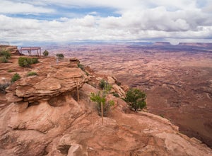
Explore Needles Overlook
About 1.5 hours from Moab on BLM land, Needles Overlook sits on a peninsula of rock 1600 ft. above southern Canyonlands NP. The views from here are just as commanding as Island in the Sky in Canyonlands, but with a lot fewer people due to its isolated location; there's a good chance you'll have ...Read more -
Monticello, Utah
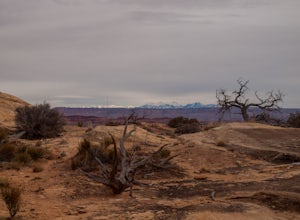
Hike Needle's Slickrock Foot Trail
2.4 mi / 200 ft gainThe trail weaves away from the highway following cairns. I did the loop counter-clockwise to hit all the viewpoints first. The first part of the trail offers stellar views of the Needles behind you.All the viewpoints are well marked by trail signs. The first viewpoint veers off to the right and t...Read more -
Monticello, Utah
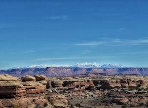
Hike the Confluence Overlook
4.010.4 mi / 220 ft gainThe Green River starts in Wyoming and flows 730 miles before joining the Colorado River in Utah. Confluence Overlook Trail is located in the northern parts of the Needles district of Canyonlands National Park. At the southwest edge of the parking area, you will see where the trail starts. The tra...Read more -
Monticello, Utah
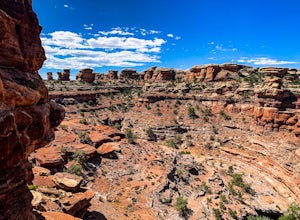
Explore Big Spring Creek Overlook
This overlook is at the end of the scenic drive in the Needles District of Canyonlands National Park. Once you step away from your vehicle the world sort of drops out below you into Big Spring Canyon. Just a short walk from the car takes you to some fantastic formations. Visitors can begin the hi...Read more -
Montezuma Creek, Utah
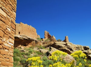
Hike the Ruins of Hovenweep National Monument
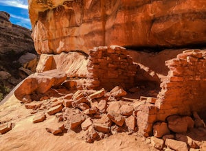
4.72 mi / 80 ft gainHovenweep National Monument consists of 5 separate units which were once Ancestral Puebloan communities. The main trail, Little Ruin Canyon, starts from the Visitor Center and is the only unit that has paved access. Don't let the dirt-clay roads keep you from the other units though, they are not ...Read more -
Moab, Utah
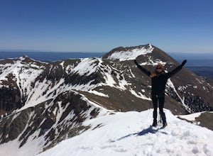
Climb Mount Tukuhnikivatz
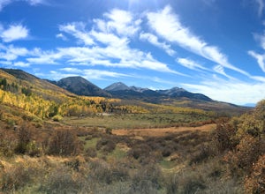
6 mi / 2200 ft gainFrom the parking area at La Sal Pass, follow a well defined but unmapped trail though meadow, brief forest, and then switchbacks up the prominent ridge just east of the summit ridge of Mt Tuk. Once on the ridge bear west (climbers left) along the ridge as it narrows. Depending on conditions the r...Read more -
Moab, Utah
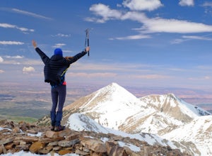
Climb Mount Peale
5.05 mi / 2721 ft gainFrom the parking area at La Sal Creek, just east of Medicine Lake examine the mountain and identify the prominent gully which feeds into La Sal Creek. Follow the old road bed north until its end and then travel cross country. Ascend the gully the the summit ridge between the northwest peak and th...Read more -
San Juan County, Utah
Backpack Grand Gulch
10 mi / 600 ft gainBears Ears National Monument is a truly special place. We voyaged willingly on a journey of discovery into the roots of who we are as human beings, and we were not disappointed: the ruins accessible in the canyons brought tears to our eyes. While Bears Ears used to receive just 9,000 visitors ann...Read more -
San Juan County, Utah
Backpack Great Gulch: Kane Gulch to Bullet Canyon
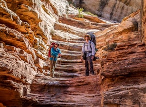
5.025 miOne of the many wonderful hidden gems in Utah (so just tell you close friends about it).Kane Gulch is located four miles south of the Highway 95/Highway 261 junction. At the Kane Gulch ranger station you will be able to use restrooms, overnight park your vehicle, pick up permits, and purchase are...Read more -
Lake Powell, Utah
Hike to Horse Collar Ruin at Natural Bridges National Monument
5.03.2 mi / 500 ft gainNatural Bridges National Monument is one of Utah's many geologic wonders. While this monument is primarily known for its bridges, it also has an impressive collection of cliff dwellings known as Horse Collar Ruin. The dwellings have passed the test of time after being abandoned by native people m...Read more -
Moab, Utah
Hike the White Rim Overlook
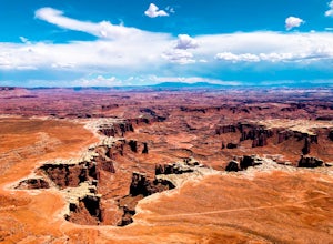
3.01.8 mi / 160 ft gainIf you're entering Canyonlands from the north (Island in the Sky side), don't miss this quick hike! This hike is fairly level the entire way and not too long—perfect for kids. Follow Grand View Point Road down towards the middle of the park, then turn left at the sign for the White Rim Overlook. ...Read more -
Moab, Utah
Hike the Gooseberry Trail in Canyonlands
4.04.2 mi / 1548 ft gainThis hike will take your breath away—literally. You will experience stunning views of Canyonlands National Park while literally stepping down the side of a cliff. Once you get to the valley floor, continue on to the smaller cliffs of the White Rim. To get there, follow Grand View Point Road down ...Read more -
Moab, Utah
Explore Faux Falls
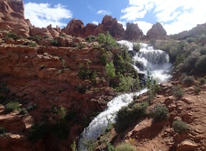
1 mi / 200 ft gainFaux Falls is located near the Ken's Lake campground off Route 191, 20 minutes south of Moab. When I was there it was during several days of thunderstorms. The waterfall was really gushing. Not sure how much water is running when there hasn't been rain in a while. The falls can be seen from the ...Read more -
Moab, Utah
Camp at Kens Lake Campground
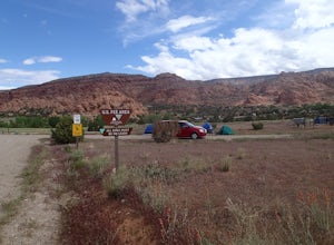
4.0Ken's Lake is an excellent location for peace and quiet. It is operated by the Bureau of Land Management and you can register on site or the reservation system at Recreation.gov. There are three group sites and 30 tent sites so relatively small. Faux Waterfall is within walking distance and a nic...Read more -
Moab, Utah
Ride the Whole Enchilada Mountain Bike Trail
5.026.8 mi / 2300 ft gainThe Whole Enchilada trail covers a massive expanse of terrain and varying climates. The trail passes through a variety of terrains in very remote locations. Be sure to pack as much food and water as possible and be prepared to service your own mechanical issues on the trail. This is a very popula...Read more -
Monticello, Utah
Camp at the Ledges Camping Area off of Kane Creek Road
5.0The turn off for Kane Creek Rd. is directly before the McDonald's on the right side of the road. A right turn takes you through small residential area and then places you on a dirt road continuing into the canyon. The road narrows a bit, switch backs, and becomes slightly rougher. Follow Kane Cr...Read more

