Monticello, Utah
Looking for the best chillin in Monticello? We've got you covered with the top trails, trips, hiking, backpacking, camping and more around Monticello. The detailed guides, photos, and reviews are all submitted by the Outbound community.
Top Chillin Spots in and near Monticello
-
Moab, Utah
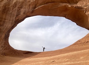
Climb Wilson Arch
Wilson Arch is a common stop for people visiting the local national parks and Moab, but with some general climbing knowledge and gear you can make this into a longer outing. If coming from Moab, the arch is obvious on your left about 25 miles south. There is ample parking on both sides of the r...Read more -
Monticello, Utah
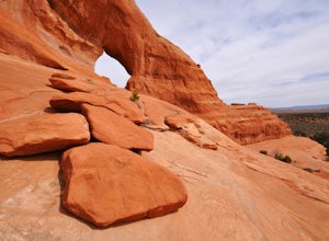
Explore Looking Glass Arch
4.0Getting there:From Moab, follow Highway 191 south for about 23 miles until you get to Looking Glass Road/Co. Rd. 131. Take a right and follow the road for about 2 miles and then turn left into the parking lot.It is only about 0.10 miles from the parking lot to the arch itself, but there is a ~150...Read more -
Moab, Utah
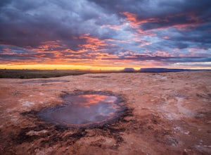
Camp at Hamburger Rock
Hamburger Rock is a small BLM campground with 10 sites based around an interesting rock outcropping. Each site can accommodate around 6 campers, 2 tents, and 2 cars. The bathrooms here are very basic, open-top pits, and no other services are offered. Camping fees are only $6/night.Read more -
Monticello, Utah
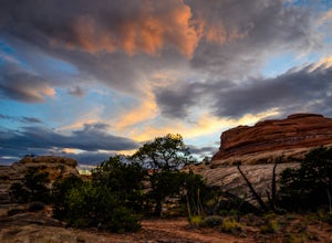
Camp at Squaw Flat Campground
3.0Squaw Flat campground is an easily-accessed area full of picturesque campsites in Canyonlands National Park, Utah. It is located in the Needles District, which is well known for its colorful spires of Cedar Mesa Sandstone that cover the region. Campsite reservations must be made in advance at rec...Read more -
Monticello, Utah
Hike the Confluence Overlook
4.010.4 mi / 220 ft gainThe Green River starts in Wyoming and flows 730 miles before joining the Colorado River in Utah. Confluence Overlook Trail is located in the northern parts of the Needles district of Canyonlands National Park. At the southwest edge of the parking area, you will see where the trail starts. The tra...Read more -
Monticello, Utah
Explore Big Spring Creek Overlook
This overlook is at the end of the scenic drive in the Needles District of Canyonlands National Park. Once you step away from your vehicle the world sort of drops out below you into Big Spring Canyon. Just a short walk from the car takes you to some fantastic formations. Visitors can begin the hi...Read more -
Moab, Utah
Explore Faux Falls
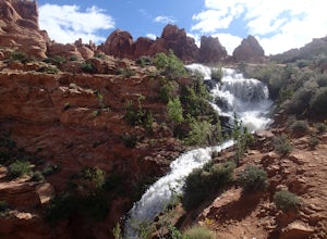
1 mi / 200 ft gainFaux Falls is located near the Ken's Lake campground off Route 191, 20 minutes south of Moab. When I was there it was during several days of thunderstorms. The waterfall was really gushing. Not sure how much water is running when there hasn't been rain in a while. The falls can be seen from the ...Read more -
Moab, Utah
Camp at Kens Lake Campground
4.0Ken's Lake is an excellent location for peace and quiet. It is operated by the Bureau of Land Management and you can register on site or the reservation system at Recreation.gov. There are three group sites and 30 tent sites so relatively small. Faux Waterfall is within walking distance and a nic...Read more -
Monticello, Utah
Camp at the Ledges Camping Area off of Kane Creek Road
5.0The turn off for Kane Creek Rd. is directly before the McDonald's on the right side of the road. A right turn takes you through small residential area and then places you on a dirt road continuing into the canyon. The road narrows a bit, switch backs, and becomes slightly rougher. Follow Kane Cr...Read more -
Moab, Utah
Hike to Murphy Point
4.33.4 mi / 320 ft gainMurphy Point, found in the Island In The Sky district of Canyonlands NP, takes hikers on a mesa that ends at an overlook with sweeping vistas over Murphy Basin, the White Rim, and Green River. If you're looking to get away from the tourists, then head to this quiet and often overlooked trail.The ...Read more -
Moab, Utah
Backpack the Lathrop Canyon Trail in Canyonlands
18 mi / 2130 ft gainAccess to this trailhead is a few miles south of the Islands in the Sky Visitor Center in Canyonlands National Park. An easy drive from Moab or Interstate 70. Remember to get permits and check in with the rangers if camping. If just doing a day hike then no permits are needed. REMINDER: There is ...Read more -
Moab, Utah
Camp in Hunters Canyon
5.02 miMoab has become an increasingly popular adventure destination over the last few years. Its proximity to Arches and Canyonlands National Parks make it a popular spot for beginning day hikers as well as seasoned canyoneers, bikers, and climbers. It comes as no surprise that it can be a hassle to fi...Read more -
Moab, Utah
View the Petroglyphs at Birthing Rock
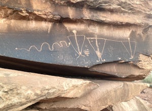
5.00.1 mi / 0 ft gainThis roadside boulder is just a short ride down a dirt road from Moab. From the McDonalds in Moab, head west down Kane Creek Drive. You will pass a few BLM and private campgrounds as well as various trailheads. The road will eventually become graded dirt. Follow the road until you see an obvi...Read more -
Moab, Utah
Drive Chicken Corners
5.0From Moab, take Kane Creek Blvd out of town towards the beginning of the trailhead at the Kane Creek Recreation Parking Lot. From there, the trail is pretty much the only route available. The drive follows along a very smooth dirt road for the first six miles. Here, take a right to follow towards...Read more -
Moab, Utah
Drive Hurrah Pass
5.0Hurrah Pass is a 19.5 mile out and back trail/road that leads from the Colorado River Canyon through Kane Creek Canyon and up to Hurrah Pass at 4,780'. While technically considered a 4x4 trail once you begin your ascent out of Kane Creek Canyon, this can be done with a high clearance 2wd vehicle ...Read more -
Moab, Utah
Camp at Williams Bottom Campground in Moab
4.0Williams Bottom Campground and its 17 first-come first-serve campsites are tucked into the side of the Colorado River Canyon on Utah Highway 279 aka "Potash Road" just 15 minutes from downtown Moab. It is commonly known as one of *the* rock climbing campground on the west side of Moab, as there a...Read more

