Moab, Utah
Top Spots in and near Moab
-
Moab, Utah
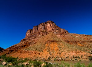
Camp at Big Bend Campground
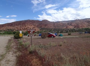
5.0This campground has three different campsites. All the sites are made for larger groups, so there has to be a minimum number of people to reserve a site. Site A is the largest, with the maximum capacity of 40 people. Site B fits 20 people and site C fits about 30 people. All the sites are non-ele...Read more -
Moab, Utah
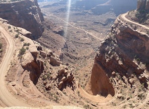
Shafer Trail
5.019.59 mi / 4587 ft gainShafer Trail is a point-to-point trail where you may see local wildlife located near Moab, Utah.Read more -
Moab, Utah
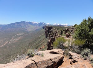
Mountain Bike Moab's Porcupine Rim
5.015 mi / 1000 ft gainThis ride is one of the most popular in Moab, let alone the state of Utah. With that said, you probably won't have the trail to yourself so be sure to take time to hangout at the best vista points and chat with the other riders. Although the shuttles try to stagger the drop-offs, there will be ri...Read more -
Moab, Utah
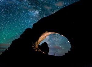
Photograph the Milky Way at North Window Arch
4.7Arches National Park is a must see for all photographers, but especially for astrophotography. Many of the most common places to shoot are balanced rock, and Delicate Arch and there's a good reason, these are beautiful places. North Window Arch is much less common, and even on a moonless night,...Read more -
Moab, Utah
Window Arch Loop
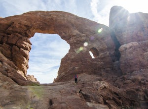
5.01.14 mi / 62 ft gainTo get to the trailhead: After entering the park, keep driving along the main road until you see signs for The Windows Area (just past the Balanced Rock and a little over 9 miles from the Visitor Center). Follow this road until it ends in a parking lot and you see the arches to your right. The ...Read more -
Monticello, Utah
Camp at the Ledges Camping Area off of Kane Creek Road
5.0The turn off for Kane Creek Rd. is directly before the McDonald's on the right side of the road. A right turn takes you through small residential area and then places you on a dirt road continuing into the canyon. The road narrows a bit, switch backs, and becomes slightly rougher. Follow Kane Cr...Read more -
Castle Valley, Utah
Double Arch
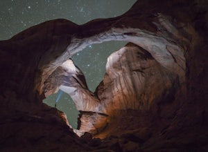
4.40.56 mi / 135 ft gainThe hike to Double Arch is a relatively flat and easy hike of 0.5 miles roundtrip. You can add this to the rest of the quick spots you may want to visit on your visit to Arches.This arch is created by two arches that shares the same stone as the foundation for their outer legs. This arch was form...Read more -
Moab, Utah
Mountain Bike the Moab Brand Trails
5.010 mi / 200 ft gainThe Moab Brand Trails are a series of trails about 7 miles north of the Colorado River, north of Moab. They get their name from four of the major trails that spell out "MOAB." They include the Bar M, Circle O, Rockin A and Bar B. I was curious how they came to the names and my local bike shop m...Read more -
Moab, Utah
Climb Owl Rock in Arches National Park
4.0Owl Rock is a fun, 100' single pitch spire right in the middle of Arches National Park. The approach is minimal, just a few minutes walk from the parking lot, and there's plenty of room at the base to set up for a nice day under the sun. It's a popular spot, so in case there's a short line, bring...Read more -
Moab, Utah
Summit Elephant Butte
1.27 mi / 492 ft gainElephant Butte sits at 5653 ft. and is the highest point in Arches National Park. It requires two rappels using a 60m rope. In addition to this, it requires some short sections of low fifth class scrambling that can be difficult on wet rock. The approach starts at Garden of Eden trailhead. ...Read more -
Moab, Utah
Balanced Rock Loop
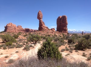
0.55 mi / 62 ft gainBalanced rock is a short loop and can be done in a short amount of time. You can spend a few minutes walking around the rock and snap a few pictures with your family. Make sure to stay on the well marked trail in order to preserve the environment.Read more -
Moab, Utah
Camp at Kens Lake Campground
4.0Ken's Lake is an excellent location for peace and quiet. It is operated by the Bureau of Land Management and you can register on site or the reservation system at Recreation.gov. There are three group sites and 30 tent sites so relatively small. Faux Waterfall is within walking distance and a nic...Read more -
Moab, Utah
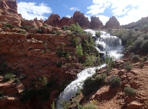
Explore Faux Falls
1 mi / 200 ft gainFaux Falls is located near the Ken's Lake campground off Route 191, 20 minutes south of Moab. When I was there it was during several days of thunderstorms. The waterfall was really gushing. Not sure how much water is running when there hasn't been rain in a while. The falls can be seen from the ...Read more -
Moab, Utah
Parriott Mesa Trail
2.83 mi / 981 ft gainParriott Mesa Trail is an out-and-back trail that takes you past scenic surroundings located near Moab, Utah.Read more -
Moab, Utah
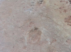
Explore the Willow Springs Dinosaur Tracks
4.0I'm always find dinosaur tracks fascinating. Willow Springs has a few cool tracks not as defined as others but definitely noticeable. There is also an interpretive sign describing the tracks installed by the Bureau of Land Management. To find the tracks, drive north on 191. Over the Colorado Rive...Read more -
Moab, Utah
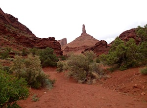
Hike to Castleton Tower
5.04 mi / 300 ft gainCastleton Tower is a popular destination for rock climbing when in the Moab area. However, if you are not a rock climbing, you can still enjoy the scenery of the tower and the surrounding desert. Located on BLM land, there are several access trails off the La Sal Loop road. You can't miss the tow...Read more

