Kamas, Utah
Top Spots in and near Kamas
-
Provo, Utah
The Y Trail
3.52.29 mi / 1063 ft gainHiking the Y is a classic hike in Provo, Utah—but don't expect it to be easy! There's no shade and not much greenery, so it's a hot, dusty trek to the top. Once you reach the Y, though, the view of the Provo and Utah Lake is amazing. There are also benches at the top. When you reach the Y, you w...Read more -
Salt Lake City, Utah
Ensign Peak
4.20.97 mi / 354 ft gainThis hike is a piece of cake with a sizable reward. It starts just up the hill behind the Capitol Building and ascends 350 feet over about 0.5 miles to the top on a very well marked trail. It's great for a family with young ones or maybe a quick post-dinner evening date. Parking is all along a re...Read more -
South Jordan, Utah
Fish at the East Riverfront Fishing Ponds
5.00 mi / 0 ft gainThese are great little ponds located at 11267 S. River Front Pkwy in South Jordan. It is just off of a section of the Jordan River. Kidney Pond is the one located just by the parking. Midas is just above and you can see it from the parking. You can fish here for rainbow trout, channel catfish, bl...Read more -
Provo, Utah
Hike to the Summit of Buckley Mountain
4.018 mi / 5000 ft gainThere are a few ways to get to the top of Buckley, but the funnest (and most strenuous) way to get up to Buckley is taking the trail up Slate Canyon. Slate Canyon has a parking lot and bathroom located at the base of the trail, and the trailhead is about ten minutes from the Provo Center Street e...Read more -
Centerville, Utah
Hike to the Rope Swing on Deuel Creek Trail
5.02.6 mi / 646 ft gainNot only is this hike absolutely gorgeous, but it also has an epic rope swing at the end! To get to the trailhead you'll need a vehicle that can handle rough roads—you have to drive up a bit on the side of the mountain to get to the trailhead. The beginning of the hike is marked with a little bul...Read more -
Evanston, Utah
Hike to Tokewanna Peak in the High Uintas
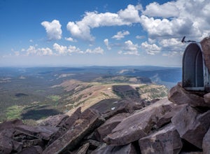
17 mi / 4202 ft gainClimbing all of Utah's 13ers is nota popular trend, yet. Most people seek out Colorado's 14ers for their summit height, but don't let Utah's 13ers be overshadowed by their neighbors to the East. Utah's 13ers are remote. The closest 13er to a road is Tokewanna which comes in around 17-18 miles rou...Read more -
Centerville, Utah
Hike to the Parrish Creek Pictographs
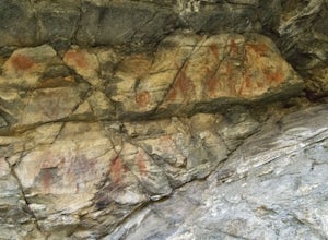
4.71 mi / 200 ft gainThe petroglyphs are pretty easy to find and it is such a short hike you can do it in about 45 minutes. To get to the trailhead, drive to Centerville, Utah and take 400 N all the way towards the mountain. The road with curve to the right with a small dirt road heading to the left. Take the dirt ro...Read more -
Utah County, Utah
Fifth Water Hot Springs from Rays Valley Trailhead
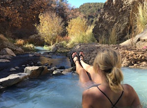
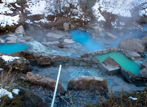
5.04.98 mi / 787 ft gainFifth Water Hot Springs from Rays Valley Trailhead is an out-and-back trail that takes you to a hot springs located near Spanish Fork, Utah. Dogs are permitted on this trail on-leash. If heading to the hot springs with your pup, please be respectful of others visiting the hot springs. Along this ...Read more -
Lehi, Utah
Jordan River Parkway Trail
4.045.33 mi / 2113 ft gainJordan River Parkway Trail is a point-to-point trail that takes you by a lake located near Saratoga Springs, Utah.Read more -
Springville, Utah
Maple Mountain (aka Spanish Fork Peak)
10.56 mi / 4524 ft gainThe trail starts out very easy, but keep an eye out for the fork in the trail at the creek. It's easy to miss. It's right at the metal bench that will be on the left. Cross the creek and continue another quarter mile or so when you'll notice another branch to your left. Keep going straight here a...Read more -
Saratoga Springs, Utah
Saratoga Hot Springs
3.30.7 mi / 46 ft gainAwesome all year round, but one of the best places to chill out during winter. The water is just hot enough to feel amazing and escape from the cold. This place is public and not supervised. It does close from 10pm-6am and police have been known to pass by and enforce it. Pulling in to the parki...Read more -
Utah County, Utah
Diamond Fork (Fifth Water) Hot Springs
4.44.63 mi / 663 ft gainWhen you hike out to Diamond Fork aka Fifth Water hot springs, get ready for an amazing experience! The lower fall is visible from the main pool. If you want to continue to go further up the creek, you will run into the second fall, which is the most photogenic of them all. There are also two poo...Read more -
Springville, Utah
Rappel the Red Ledges
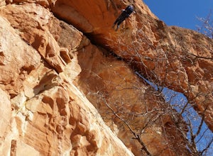
4.01 mi / 180 ft gainThis is a sweet spot to go rappelling near Spanish Fork, UT. It's located at the Red Ledges in Diamond Fork Canyon. There is a picnic area, grill and restrooms near the base. The unique formations are beautiful to hike around and fun to rappel down. The hike is pretty short, but steep. We did...Read more -
Salt Lake City, Utah
Birding at Farmington Bay
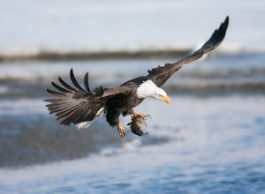
5.0Every winter as the ice thaws, eagles gather at Farmington Bay to feed on huge populations of carp. This can produce a pretty amazing set of circumstances where it's not uncommon to see birds feeding just 50 yards from shore.The prime viewing opportunity happens around "Bald Eagle Day," an event ...Read more -
Herriman, Utah
Drive Butterfield Canyon
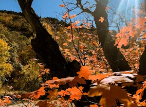
4.5Butterfield Canyon is a little-known canyon on the west side of Utah Valley. Beautiful any time of the year, it is especially beautiful in the fall—all the leaves changing colors! When you reach the marked location, turn onto Butterfield Canyon Road. Drive until you reach the end of the road (it...Read more -
Layton, Utah
Adams Canyon
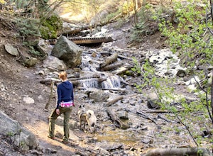
4.83.55 mi / 1434 ft gainThe trailhead is at a dirt parking lot with a lot of parking, but on Saturday mornings it can get full and people are forced to park on the street. As you start off, there are a few steep and sandy switchbacks. They don't last too long but on a hot day it can seem like forever. After that, the t...Read more

