United StatesUtahGrand Staircase Escalante National Monument
Grand Staircase-Escalante National Monument, Utah
Top Spots in and near Grand Staircase-Escalante National Monument
-
Kane County, Utah
Drive to Hole in the Rock Road outside of Escalante UT. Drive SE down the all-dirt Hole in the Rock Road for 36 miles to a signed turn off on your left. The road can be sandy and bumpy from here, so consider the car you're using. Travel NE for 7 miles to the 40 Mile Ridge TH. From Here, follow a ...
Read more
-
Kane County, Utah
4.7
10.59 mi
/ 4354 ft gain
Easy hiking, water availability, and spectacular scenery make this a "must do" hike. Three days are best to see all this canyon has to offer. You can either make this a 3-5 mile hike or a longer 10-15 mile hike. The perfect trip down Coyote Gulch is three days and two nights. Hike in to Jacob Ham...
Read more
-
Kane County, Utah
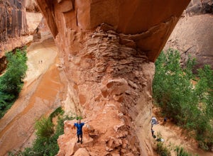
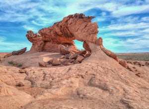
The trailhead starts at Coyote Gulch Trailhead in the Grand Staircase - Escalante National Monument. There is actually no trail to the arches but they are pretty easy to find and even easier with a GPS. The coordinates are Sunrise Arch = 37.382214,-111.04838 and Sunset Arch = 37.38191,-111.048397...
Read more
-
Page, Arizona
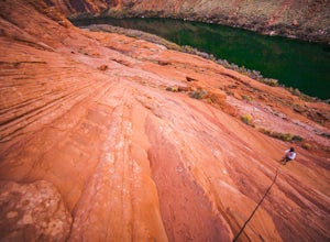
The Ropes Trail is an old hiking trail below Glen Canyon Dam that has long since been abandoned by the park service. It is also one of the few trails that leads down the steep walls into the canyon. Let me say that again, it's steep. Getting there Take Highway 89 from Page going north and take th...
Read more
-
Marble Canyon, Utah
Depending how you approach this 800 mile trail, I did the first 4 miles or last 4 miles as an out and back from Stateline Campground on the Utah/Arizona state line and the border of Vermilion Cliffs National Monument. This section of the trail does not pass through Vermilion Cliffs N.M. b...
Read more
-
Hatch, Utah
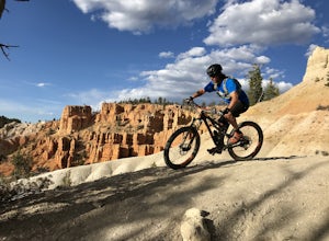
Thunder Mountain Trail is one that should be on every mountain bikers bucket list. It's located just outside of Bryce Canyon National Park and passes through hoodoos, classic Bryce Canyon topography and epic views to the west.
For the first 2.5 miles, the trail meanders back and forth with littl...
Read more
-
Page, Arizona
The best way to loop is counter-clockwise, to avoid unnecessary uphill distance. The trail features wonderful wildflowers in the spring, and is open year round. The Page Mesa Trail typically takes between 1 and 3 hours to hike. The trail is also a fabulous location for mountain biking and is dog ...
Read more
-
Page, Arizona
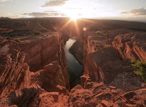
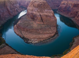
Horseshoe Bend is an iconic viewpoint, and a must-see for photographers. Check out Tiffany Nguyen's post, Hike to Horseshoe Bend, for more details on that part of the adventure.
Because of its popularity and easy access, the Horseshoe Bend viewpoint is thoroughly photographed and can be very cro...
Read more
-
Marble Canyon, Arizona
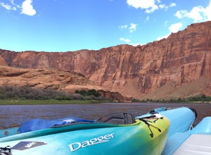
Starting at Lee's Ferry, you meet with a boat that will back haul you up the river close to Glen Canyon Dam for approximately $150/2 people, plus your gear. There is an overnight parking lot available. The river is swift in some spots where it would be quite challenging to paddle up the river you...
Read more
-
Marble Canyon, Arizona
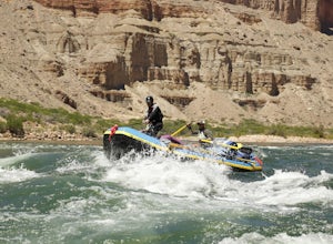
If rafting the Grand Canyon is not towards the top of your bucket list, make room. There are only so many experiences that are so incredible and grand that they can humble, amaze, and awe you day after day during, as well as for the years that follow. This adventure has the ability to strip a per...
Read more
-
Williams, Arizona
4.7
1.52 mi
/ 157 ft gain
Horseshoe Bend in Page, Arizona is classic bucket list material and for good reason. Even if they don’t know what it’s called or where it is, everyone has seen this famous spot somewhere. Rest assured; pictures cannot convey the massive scale of this place. From your vantage point 1,000 feet abov...
Read more
-
Kane County, Utah
5.0
15.24 mi
/ 1368 ft gain
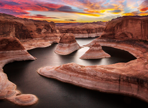
Backpacking Reflection Canyon is not for the faint of heart. It's an intense, challenging hike that takes you through slot canyons, climbing up and down shifty sandstones and traversing rugged terrains and ravines. Although the elevation gain is almost nothing, the up and down climbs from one rav...
Read more
-
Marble Canyon, Arizona
The area directly below Lee's Ferry campground is known as the Paria Riffle and Beach. The Paria is a small river that feeds into the Colorado River just north of the campground. Just park at the campground parking lot next to the river and walk a short distance to the sandy beach area where you ...
Read more
-
Page, Arizona
Waterholes Canyon is a gorgeous slot canyon located just south of Page, Arizona that empties into Glen Canyon. The Upper Part of the Canyon is an easy, largely non-technical section that is easily accessed from Highway 89 and a clear parking turnoff on the left side of the road if you're heading ...
Read more
-
Page, Arizona
As its name suggests, Mountain Sheep Canyon offers a rugged feel and more strenuous hike than the other slot canyons in the neighborhood (Antelope Canyon and Rattlesnake Canyon). The trek is longer than it is for the other canyons (about three-quarters of a mile), and there is quite a bit of scal...
Read more
-
Page, Arizona
Rattlesnake Canyon is an add-on to the ever-popular Antelope Canyon photography tour. Both canyons are on Navajo land and only accessible by guided tour.The advantage to Rattlesnake Canyon is that only one tour company is allowed to operate there and they only take one group at a time. Our grou...
Read more

