Grand County, Utah
Top Spots in and near Grand County
-
Moab, Utah
Hike the Neck Spring Trail
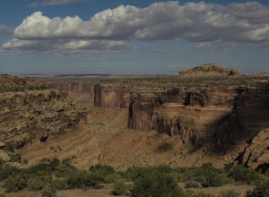
5.8 mi / 260 ft gainWith minor changes in elevation, a couple easy scrambles and the opportunity to find your route by cairns, the Neck Spring Trail is the perfect way to get acquainted with Island in the Sky area of Canyonlands National Park.Starting at the Shafer Canyon Overlook parking lot, the Neck Spring trail ...Read more -
Moab, Utah
Climbing Moses in Canyonlands
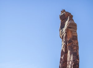
Moses offers some fantastic crack climbing. It is in the Island in the Sky area near the Taylor Canyon Campsite. The climbing is difficult but the rock is a really solid wingate sandstone. With one of the best summits in the world, this tower isn't one to miss.To get more information on the route...Read more -
Mineral Canyon Road, Utah
Camp along the White Rim Road in Canyonlands NP
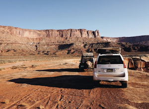
5.0100 miWow where to start… White Rim is one of those places where after the first day you will forget you are even on Earth anymore. The unreal views just don’t stop either. Every turn opens up to another amazing scene, massive canyon or beautiful vista. Make sure to take a dip in the Green River if ...Read more -
Fruita, Colorado
Float Ruby-Horsethief Canyons
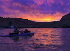
To do the entire 26-mile float, put in at the Loma River access, several miles west of Fruita and just a short drive from I-70. From the Loma access there is no other easy access point until 26 miles later, at Westwater in Utah.Once on the water you will be able to relax and enjoy the beautiful s...Read more -
Moab, Utah
Backpack the Lathrop Canyon Trail in Canyonlands
18 mi / 2130 ft gainAccess to this trailhead is a few miles south of the Islands in the Sky Visitor Center in Canyonlands National Park. An easy drive from Moab or Interstate 70. Remember to get permits and check in with the rangers if camping. If just doing a day hike then no permits are needed. REMINDER: There is ...Read more -
Moab, Utah
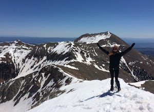
Climb Mount Tukuhnikivatz
6 mi / 2200 ft gainFrom the parking area at La Sal Pass, follow a well defined but unmapped trail though meadow, brief forest, and then switchbacks up the prominent ridge just east of the summit ridge of Mt Tuk. Once on the ridge bear west (climbers left) along the ridge as it narrows. Depending on conditions the r...Read more -
Moab, Utah
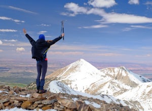
Climb Mount Peale
5.05 mi / 2721 ft gainFrom the parking area at La Sal Creek, just east of Medicine Lake examine the mountain and identify the prominent gully which feeds into La Sal Creek. Follow the old road bed north until its end and then travel cross country. Ascend the gully the the summit ridge between the northwest peak and th...Read more -
Moab, Utah
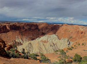
Upheaval Dome Overlook
4.01.21 mi / 200 ft gainUpheaval Dome is a geologic structure whose origins have remained hotly debated for years. Some scientists say it is the site of a meteorite impact while others theorize it is nothing more than a naturally occurring salt dome. No matter what the true answer is, there is no question that this shor...Read more -
Moab, Utah
Syncline Loop in Canyonlands NP
5.07.87 mi / 1955 ft gainBe advised, the NPS signs and maps that warn of a very difficult hike ahead are not hyperbole, as I thought at first. This hike is a loop around the famous Upheaval Dome on an unmaintained trail that leads you down over 1500 feet into the canyon, close to the Green River, then climbs back up 1500...Read more -
Fruita, Colorado
Alcove Nature Trail
0.92 mi / 197 ft gainAlcove Nature Trail is an out-and-back trail where you may see beautiful wildflowers located near Grand Junction, Colorado.Read more -
Grand Junction, Colorado
Running Ute Canyon in Colorado National Monument
8.6 miUte Canyon Trail is a mostly undeveloped 4.3 mile trail (8.6 round trip) in Colorado National Monument that offers technical descents, route finding, water crossings, and gorgeous red rock walls. The trailhead is just a few miles off I-70 from the town of Fruita—it's well worth the trip. Remember...Read more -
Moab, Utah
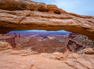
Mesa Arch
4.50.74 mi / 164 ft gainThis is an easy 0.6 mile loop. The hike takes you out to Mesa Arch, which is one of the most famous structures of Canyonlands National Park. If you're out with your camera, you can get amazing shots of the arch with the rugged canyon as your backdrop. Some of the best photos of the arch are at s...Read more -
Moab, Utah
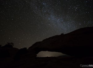
Night Photography at Mesa Arch
5.0From the parking lot, the hike is a .6 mile loop (20-30 min hike round trip). It took 10 minutes to get to the Arch. I arrived at 2am and hiked to the Arch to get some Milky Way shots, definitely arrive earlier to shoot the stars. I explored around when I got to the Arch and came up with a bunch ...Read more -
Moab, Utah
Hike the Aztec Butte Trail
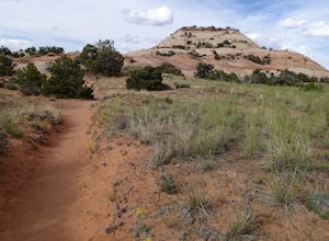
4.52 mi / 500 ft gainThe Aztec Butte Trail is a two pronged out and back trail for a total of two miles. The trail is single track and easy to follow. After a third of a mile the trail splits. To the left, a trail takes you to the top of a small mesa. There is an informative sign marking the way. On the other side of...Read more -
Green River, Utah
Visit the Petroglyphs in Black Dragon Wash
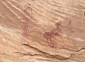
Black Dragon wash gets its name because of one of the petroglyphs, which oddly enough is a red dragon. The trail can be kind of hard to find but once you are in the canyon it is impossible to lose it. You follow the canyon for a bit and then you will see the petroglyphs on the north side beyond s...Read more -
Moab, Utah
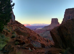
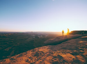
Catch a Sunset at Green River Overlook
4.5Turn right on Highway 313 after Mesa Arch Trailhead and follow the road past Willow Flat Campground to Green River Overlook. Park at the parking lot. Climb over the railing onto the rock edge. Sit and breathe in that desert wind and distant sun. Simple as that.I recommend camping at Willow Flat t...Read more

